» książki » Technology & Engineering - Cartography
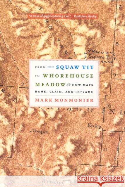 |
From Squaw Tit to Whorehouse Meadow: How Maps Name, Claim, and Inflame
ISBN: 9780226534664 / Angielski / Miękka / 230 str. Termin realizacji zamówienia: ok. 5-8 dni roboczych. Brassiere Hills, Alaska. Mollys Nipple, Utah. Outhouse Draw, Nevada. In the early twentieth century, it was common for towns and geographical features to have salacious, bawdy, and even derogatory names. In the age before political correctness, mapmakers readily accepted any local preference for place names, prizing accurate representation over standards of decorum. But later, when sanctions prohibited local use of racially, ethnically, and scatalogically offensive toponyms, names like Jap Valley, California, were erased from the national and cultural map forever.
From Squaw Tit... Brassiere Hills, Alaska. Mollys Nipple, Utah. Outhouse Draw, Nevada. In the early twentieth century, it was common for towns and geographical features...
|
cena:
81,82 |
 |
Abysmal: A Critique of Cartographic Reason
ISBN: 9780226629308 / Angielski / Twarda / 584 str. Termin realizacji zamówienia: ok. 5-8 dni roboczych. People rely on reason to think about and navigate the abstract world of human relations in much the same way they rely on maps to study and traverse the physical world. Starting from that simple observation, renowned geographer Gunnar Olsson offers in "Abysmal" an astonishingly erudite critique of the way human thought and action have become deeply immersed in the rhetoric of cartography and how this cartographic reasoning allows the powerful to map out other people s lives. People rely on reason to think about and navigate the abstract world of human relations in much the same way they rely on maps to study and travers... |
cena:
230,11 |
 |
Writing, Geometry and Space in Seventeenth-Century England and America: Circles in the Sand
ISBN: 9780415323413 / Angielski / Twarda / 166 str. Termin realizacji zamówienia: ok. 5-8 dni roboczych. The early modern map has come to mark the threshold of modernity, cutting through the layered customs of Medieval parochialism with its clean, expansive geometries. Re-thinking the role played by mathematics and cartography in the English seventeenth century, this book argues that the cultural currency of mathematics was as unstable in the period as that of England's controversial enclosures and plantations. Reviewing evidence from a wide range of literary and scientific; courtly and pragmatic texts, Edwards suggests that its unstable currency rendered mathematics necessarily rhetorical:... The early modern map has come to mark the threshold of modernity, cutting through the layered customs of Medieval parochialism with its clean, expa... |
cena:
655,81 |
 |
Beyond Mapping: Concepts, Algorithms, and Issues in GIS
ISBN: 9780470236765 / Angielski / Miękka / 268 str. Termin realizacji zamówienia: ok. 5-8 dni roboczych. This book discusses maps as data with data structure implications; roving windows; spatial data modeling and management; assessing variability, shape, and pattern of map features; overlaying maps; cost-benefit analysis; algorithms involved in slope, distance, and connectivity; and cartographic and spatial modeling.
This book discusses maps as data with data structure implications; roving windows; spatial data modeling and management; assessing variability, shape,...
|
cena:
505,98 |
 |
GIS Modeling in Raster
ISBN: 9780471319658 / Angielski / Twarda / 320 str. Termin realizacji zamówienia: ok. 5-8 dni roboczych. The primary focus of this text is on the process of cartographic modeling and GIS modeling. The text goes beyond cartographic modeling to incorporate supplementary or complementary technologies and logics to show that spatio-temporal modeling is not limited to cartographic modeling, nor to Map Algebra. DeMers consistent, friendly and engaging style has been highly praised by reviewers of this title as well as users of his market leading Fundamentals of Geographic Information Systems.
The primary focus of this text is on the process of cartographic modeling and GIS modeling. The text goes beyond cartographic modeling to incorporate ...
|
cena:
853,70 |
 |
Planetary Mapping
ISBN: 9780521033732 / Angielski / Miękka / 312 str. Termin realizacji zamówienia: ok. 5-8 dni roboczych. Planetary Mapping describes the history and process of mapping planets and satellites beyond the Earth. Mapping planetary bodies is a unique process much different from ordinary terrestrial cartography. The book begins with an introduction to the differences between terrestrial and planetary mapping and continues with a general discussion of the history of planetary mapping. The fundamentals of cartographic techniques are described in detail, and appendixes on map formats and projects, halftone processes for planetary maps, and available mission data are also included. The general language...
Planetary Mapping describes the history and process of mapping planets and satellites beyond the Earth. Mapping planetary bodies is a unique process m...
|
cena:
339,24 |
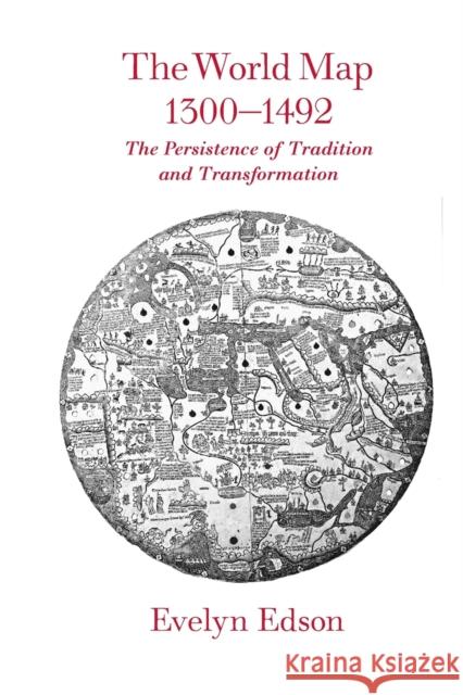 |
The World Map, 1300-1492: The Persistence of Tradition and Transformation
ISBN: 9780801885891 / Angielski / Twarda / 312 str. Termin realizacji zamówienia: ok. 5-8 dni roboczych. In the two centuries before Columbus, mapmaking was transformed. The World Map, 1300-1492 investigates this important, transitional period of mapmaking. Beginning with a 1436 atlas of ten maps produced by Venetian Andrea Bianco, Evelyn Edson uses maps of the fourteenth and fifteenth centuries to examine how the discoveries of missionaries and merchants affected the content and configuration of world maps. She finds that both the makers and users of maps struggled with changes brought about by technological innovation--the compass, quadrant, and astrolabe--rediscovery of... In the two centuries before Columbus, mapmaking was transformed. The World Map, 1300-1492 investigates this important, transitional period o... |
cena:
292,96 |
 |
The Fourth Part of the World: An Astonishing Epic of Global Discovery, Imperial Ambition, and the Birth of America
ISBN: 9781416535348 / Angielski / Miękka / 496 str. Termin realizacji zamówienia: ok. 5-8 dni roboczych. "Old maps lead you to strange and unexpected places, and none does so more ineluctably than the subject of this book: the giant, beguiling Waldseemuller world map of 1507." So begins this remarkable story of the map that gave America its name. For millennia Europeans believed that the world consisted of three parts: Europe, Africa, and Asia. They drew the three continents in countless shapes and sizes on their maps, but occasionally they hinted at the existence of a "fourth part of the world," a mysterious, inaccessible place, separated from the rest by a vast expanse of ocean. It was a...
"Old maps lead you to strange and unexpected places, and none does so more ineluctably than the subject of this book: the giant, beguiling Waldseemull...
|
cena:
75,98 |
 |
AN Errant Eye : Poetry and Topography in Early Modern France
ISBN: 9780816669646 / Angielski / Twarda / 264 str. Termin realizacji zamówienia: ok. 5-8 dni roboczych. An Errant Eye studies how topography, the art of describing local space and place, developed literary and visual form in early modern France. Arguing for a "new poetics of space" ranging throughout French Renaissance poetry, prose, and cartography, Tom Conley performs dazzling readings of maps, woodcuts, and poems to plot a topographical shift in the late Renaissance in which space, subjectivity, and politics fall into crisis. He charts the paradox of a period whose demarcation of national space through cartography is rendered unstable by an ambient world of printed writing.
This... An Errant Eye studies how topography, the art of describing local space and place, developed literary and visual form in early modern France. A...
|
cena:
306,04 |
 |
An Errant Eye: Poetry and Topography in Early Modern France
ISBN: 9780816669653 / Angielski / Miękka / 264 str. Termin realizacji zamówienia: ok. 5-8 dni roboczych. An Errant Eye studies how topography, the art of describing local space and place, developed literary and visual form in early modern France. Arguing for a "new poetics of space" ranging throughout French Renaissance poetry, prose, and cartography, Tom Conley performs dazzling readings of maps, woodcuts, and poems to plot a topographical shift in the late Renaissance in which space, subjectivity, and politics fall into crisis. He charts the paradox of a period whose demarcation of national space through cartography is rendered unstable by an ambient world of printed writing.
This... An Errant Eye studies how topography, the art of describing local space and place, developed literary and visual form in early modern France. A...
|
cena:
106,83 |
 |
Teoría General De Las Proyecciones Geográficas Y Su Aplicación Á La Formación De Un Mapa De España
ISBN: 9781148561776 / Angielski / Miękka / 290 str. Termin realizacji zamówienia: ok. 5-8 dni roboczych. This is an EXACT reproduction of a book published before 1923. This IS NOT an OCR'd book with strange characters, introduced typographical errors, and jumbled words. This book may have occasional imperfections such as missing or blurred pages, poor pictures, errant marks, etc. that were either part of the original artifact, or were introduced by the scanning process. We believe this work is culturally important, and despite the imperfections, have elected to bring it back into print as part of our continuing commitment to the preservation of printed works worldwide. We appreciate your...
This is an EXACT reproduction of a book published before 1923. This IS NOT an OCR'd book with strange characters, introduced typographical errors, and...
|
cena:
97,70 |
 |
Map Reading and Navigation: The Official U.S. Army Field Manual, FM 3.25-26
ISBN: 9781907521478 / Angielski / Miękka / 212 str. Termin realizacji zamówienia: ok. 5-8 dni roboczych. This field manual provides a standardized reference on map reading and land navigation that applies to every soldier in the Army regardless of service branch, MOS, or rank.
This field manual provides a standardized reference on map reading and land navigation that applies to every soldier in the Army regardless of service...
|
cena:
76,42 |
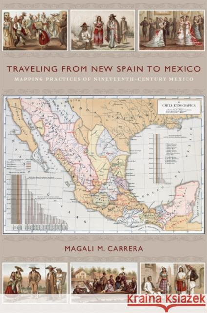 |
Traveling from New Spain to Mexico: Mapping Practices of Nineteenth-Century Mexico
ISBN: 9780822349761 / Angielski / Twarda / 352 str. Termin realizacji zamówienia: ok. 5-8 dni roboczych. Antonio Garcia Cubas's "Carta general" of 1857, the first published map of the independent Mexican nation-state, represented the country's geographic coordinates in precise detail. The respected geographer and cartographer made mapping Mexico his life's work. Combining insights from the history of cartography and visual culture studies, Magali M. Carrera explains how Garcia Cubas fabricated credible and inspiring nationalist visual narratives for a rising sovereign nation by linking old and new visual strategies.
From the sixteenth century until the early nineteenth, Europeans had... Antonio Garcia Cubas's "Carta general" of 1857, the first published map of the independent Mexican nation-state, represented the country's geographic ...
|
cena:
646,09 |
 |
Early American Cartographies
ISBN: 9780807834695 / Angielski / Twarda / 504 str. Termin realizacji zamówienia: ok. 5-8 dni roboczych. Maps were at the heart of cultural life in the Americas from before colonization to the formation of modern nation-states. The fourteen essays in Early American Cartographies examine indigenous and European peoples' creation and use of maps to better represent and understand the world they inhabited.
Drawing from both current historical interpretations and new interdisciplinary perspectives, this collection provides diverse approaches to understanding the multilayered exchanges that went into creating cartographic knowledge in and about the Americas. In the introduction,... Maps were at the heart of cultural life in the Americas from before colonization to the formation of modern nation-states. The fourteen essays in E...
|
cena:
325,48 |
 |
Industrial Process Identification and Control Design: Step-Test and Relay-Experiment-Based Methods
ISBN: 9780857299765 / Angielski / Twarda / 474 str. Termin realizacji zamówienia: ok. 5-8 dni roboczych. Industrial Process Identification and Control Design is devoted to advanced identification and control methods for the operation of continuous-time processes both with and without time delay, in industrial and chemical engineering practice. The simple and practical step- or relay-feedback test is employed when applying the proposed identification techniques, which are classified in terms of common industrial process type: open-loop stable; integrating; and unstable, respectively. Correspondingly, control system design and tuning models that follow are presented for single-input-single-output...
Industrial Process Identification and Control Design is devoted to advanced identification and control methods for the operation of continuous-time pr...
|
cena:
603,81 |
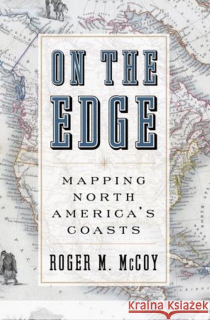 |
On the Edge: Mapping North America's Coasts
ISBN: 9780199744046 / Angielski / Twarda / 264 str. Termin realizacji zamówienia: ok. 5-8 dni roboczych. With our access to Google Maps, Global Positioning Systems, and Atlases that cover all regions and terrains and tell us precisely how to get from one place to another, we tend to forget there was ever a time when the world was unknown and uncharted--a mystery waiting to be solved. In On the Edge, Roger McCoy tells the captivating--and often harrowing--story of the 400 year effort to map North America's Coasts. Much of the book is based on the narratives of mariners who sought a passage through the continent to Asia and produced maps as a byproduct of their journeys. These...
With our access to Google Maps, Global Positioning Systems, and Atlases that cover all regions and terrains and tell us precisely how to get from one ...
|
cena:
208,75 |
 |
Mapping the Nation: History and Cartography in Nineteenth-Century America
ISBN: 9780226740683 / Angielski / Twarda / 272 str. Termin realizacji zamówienia: ok. 5-8 dni roboczych. In the nineteenth century, Americans began to use maps in radically new ways. For the first time, medical men mapped diseases to understand and prevent epidemics, natural scientists mapped climate and rainfall to uncover weather patterns, educators mapped the past to foster national loyalty among students, and Northerners mapped slavery to assess the power of the South. After the Civil War, federal agencies embraced statistical and thematic mapping in order to profile the ethnic, racial, economic, moral, and physical attributes of a reunified nation. By the end of the century, Congress had... In the nineteenth century, Americans began to use maps in radically new ways. For the first time, medical men mapped diseases to understand and pre... |
cena:
409,08 |
 |
Aerial Aftermaths: Wartime from Above
ISBN: 9780822370178 / Angielski / Miękka / 312 str. Termin realizacji zamówienia: ok. 5-8 dni roboczych. Caren Kaplan traces the cultural history of aerial imagery-from the first vistas provided by balloons in the eighteenth century to the sensing operations of military drones-to show how aerial imagery is key to modern visual culture and can both enforce military power and foster positive political connections.
Caren Kaplan traces the cultural history of aerial imagery-from the first vistas provided by balloons in the eighteenth century to the sensing operati...
|
cena:
155,45 |
 |
Developments in 3D Geo-Information Sciences
ISBN: 9783642261091 / Angielski / Miękka / 219 str. Termin realizacji zamówienia: ok. 5-8 dni roboczych. Realistically representing our three-dimensional world has been the subject of many (philosophical) discussions since ancient times. While the recognition of the globular shape of the Earth goes back to Pythagoras' statements of the sixth century B. C., the two-dimensional, circular depiction of the Earth's surface has remained prevailing and also dominated the art of painting until the late Middle Ages. Given the immature technological means, objects on the Earth's surface were often represented in academic and technical disciplines by two-dimensional cross-sections oriented along...
Realistically representing our three-dimensional world has been the subject of many (philosophical) discussions since ancient times. While the recogni...
|
cena:
603,81 |
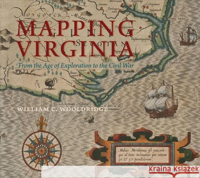 |
Mapping Virginia: From the Age of Exploration to the Civil War
ISBN: 9780813932675 / Angielski / Twarda / 392 str. Termin realizacji zamówienia: ok. 5-8 dni roboczych. (Note: The limited deluxe edition of Mapping Virginia has sold out.) As one of the chief gateways to the earliest exploration and settlement of the North American continent, Virginia was the subject of much imaginative thought and practical scrutiny. Not surprisingly, it possesses a fascinating cartographical heritage. Moving from the years preceding Jamestown to the dawn of the postbellum era, Mapping Virginia represents the most comprehensive available selection of printed maps from Virginia's first three hundred years. Beginning with the first, tentative... (Note: The limited deluxe edition of Mapping Virginia has sold out.) As one of the chief gateways to the earliest exploration and... |
cena:
360,91 |


