» książki » Technology & Engineering - Cartography
topmenu
 |
Texas Takes Shape: A History in Maps from the General Land Office
ISBN: 9781477330920 / Angielski Termin realizacji zamówienia: ok. 5-8 dni roboczych. |
cena:
185,36 |
 |
Wish You Were Here: Guidebooks, Viewbooks, Photobooks, and Maps of New York City 1807-1940
ISBN: 9781605831220 / Angielski / Miękka Termin realizacji zamówienia: ok. 5-8 dni roboczych. |
cena:
143,77 |
 |
Collecting Field Data with QGIS and Mergin Maps
ISBN: 9781998414017 / Angielski Termin realizacji zamówienia: ok. 5-8 dni roboczych. |
cena:
228,12 |
 |
Enduring Encounters: Maps of Japan from Leiden University Library
ISBN: 9789004363434 / Angielski Termin realizacji zamówienia: ok. 5-8 dni roboczych. |
cena:
702,79 |
 |
Hazard Modeling and Assessment of the Nile Delta Coast
ISBN: 9783031443268 / Angielski / Miękka Termin realizacji zamówienia: ok. 5-8 dni roboczych. The book presents the results of a doctoral thesis conducted under the supervision of two international governmental universities in Egypt and the USA. This book is very important for specialists in the field of Physical Geography with concentration of Geographic Information Science and Remote Sensing techniques for Coastal Hazard Assessment. It deals with coastal hazards and disasters using unique techniques and methods, such as Coastline Change Detection, Sea-Level Rise Modeling and Future Predication, Coastal Erosion Hazard Mapping, and Coastal Vulnerability Index. The integration of...
The book presents the results of a doctoral thesis conducted under the supervision of two international governmental universities in Egypt and the USA...
|
cena:
564,88 |
 |
Maps as Media Constructs: Exploring Theory, Practice, Critique, and Neopragmatism
ISBN: 9783031807060 / Angielski Termin realizacji zamówienia: ok. 5-8 dni roboczych. |
cena:
181,55 |
 |
The Library of Lost Maps: How Forgotten Maps Reveal Our Past and Determine Our Future
ISBN: 9781639734283 / Angielski Termin realizacji zamówienia: ok. 5-8 dni roboczych. |
cena:
152,46 |
 |
Cartography: Visualization of Geospatial Data
ISBN: 9783031830228 / Angielski Termin realizacji zamówienia: ok. 5-8 dni roboczych. |
cena:
403,47 |
 |
Neopragmatism, Inverse Landscape, (Carto)Graphic Representation: From Critique to Further Development
ISBN: 9783031894015 / Angielski Termin realizacji zamówienia: ok. 5-8 dni roboczych. |
cena:
645,58 |
 |
Early Modern Nautical Charts of the Adriatic Sea: Information Sources, Navigation Tools, and Communication Media
ISBN: 9789819680450 / Angielski Termin realizacji zamówienia: ok. 5-8 dni roboczych. |
cena:
201,72 |
 |
The ESRI Guide to GIS Analysis, Volume 1: Geographic Patterns and Relationships
ISBN: 9781589488588 / Angielski Termin realizacji zamówienia: ok. 5-8 dni roboczych. |
cena:
349,09 |
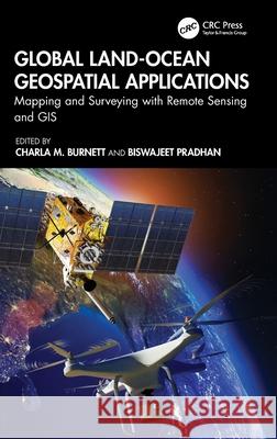 |
Global Land-Ocean Geospatial Applications: Mapping and Surveying with Remote Sensing and GIS
ISBN: 9781032728612 / Angielski Termin realizacji zamówienia: ok. 5-8 dni roboczych. |
cena:
585,33 |
 |
Recent Developments in Geospatial Information Sciences: Selected Papers from Igisc 2023
ISBN: 9783031614422 / Angielski Termin realizacji zamówienia: ok. 5-8 dni roboczych. |
cena:
524,53 |
 |
The Political Mapping of Cyberspace
ISBN: 9780226117461 / Angielski / Miękka / 224 str. Termin realizacji zamówienia: ok. 5-8 dni roboczych. This book is about the politics of cyberspace. It shows that cyberspace is no mere virtual reality but a rich geography of practices and power relations. Using concepts and methods derived from the work of Michel Foucault, Jeremy Crampton explores the construction of digital subjectivity, web identity and authenticity, as well as the nature and consequences of the digital divide between the connected and those abandoned in limbo. He demonstrates that it is by processes of mapping that we understand cyberspace and in doing so delineates the critical role maps play in constructing...
This book is about the politics of cyberspace. It shows that cyberspace is no mere virtual reality but a rich geography of practices and power re...
|
cena:
219,74 |
 |
Qing Colonial Enterprise: Ethnography and Cartography in Early Modern China
ISBN: 9780226354217 / Angielski / Miękka / 288 str. Termin realizacji zamówienia: ok. 5-8 dni roboczych. Laura Hostetler here shows how Qing China (1636-1911) used cartography and ethnography to pursue its imperial ambitions. She argues that far from being on the periphery of developments in the early modern period, Qing China both participated in and helped shape the new emphasis on empirical scientific knowledge that was simultaneously transforming Europe and its colonial empires at the time.
Although mapping in China is almost as old as Chinese civilization itself, the Qing insistence on accurate scale maps of their territory was a new response to the difficulties of administering a vast... Laura Hostetler here shows how Qing China (1636-1911) used cartography and ethnography to pursue its imperial ambitions. She argues that far from bein...
|
cena:
164,30 |
 |
Mapping It Out: Expository Cartography for the Humanities and Social Sciences
ISBN: 9780226534169 / Angielski / Twarda / 316 str. Termin realizacji zamówienia: ok. 5-8 dni roboczych. Writers know only too well how long it can take and how awkward it can be to describe spatial relationships with words alone. And while a map might not always be worth a thousand words, a good one can help writers communicate an argument or explanation clearly, succinctly, and effectively.
In his acclaimed "How to Lie with Maps, " Mark Monmonier showed how maps can distort facts. In "Mapping it Out: Expository Cartography for the Humanities and Social Sciences, " he shows authors and scholars how they can use expository cartography the visual, two-dimensional organization of information... Writers know only too well how long it can take and how awkward it can be to describe spatial relationships with words alone. And while a map might no...
|
cena:
390,22 |
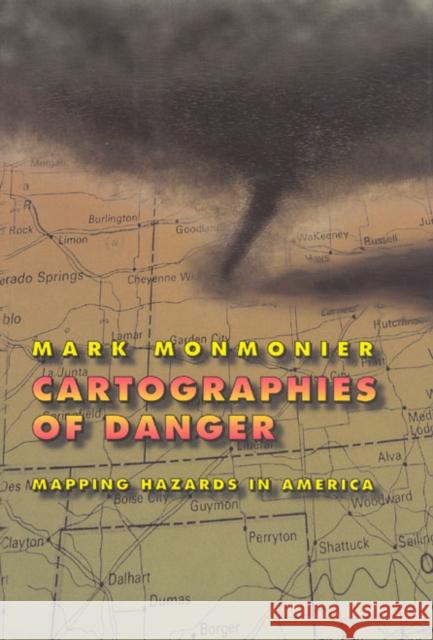 |
Cartographies of Danger: Mapping Hazards in America
ISBN: 9780226534190 / Angielski / Miękka / 378 str. Termin realizacji zamówienia: ok. 5-8 dni roboczych. No place is perfectly safe, but some places are more dangerous than others. Whether we live on a floodplain or in "Tornado Alley," near a nuclear facility or in a neighborhood poorly lit at night, we all co-exist uneasily with natural and man-made hazards. As Mark Monmonier shows in this entertaining and immensely informative book, maps can tell us a lot about where we can anticipate certain hazards, but they can also be dangerously misleading.
California, for example, takes earthquakes seriously, with a comprehensive program of seismic mapping, whereas Washington has been comparatively... No place is perfectly safe, but some places are more dangerous than others. Whether we live on a floodplain or in "Tornado Alley," near a nuclear faci...
|
cena:
169,44 |
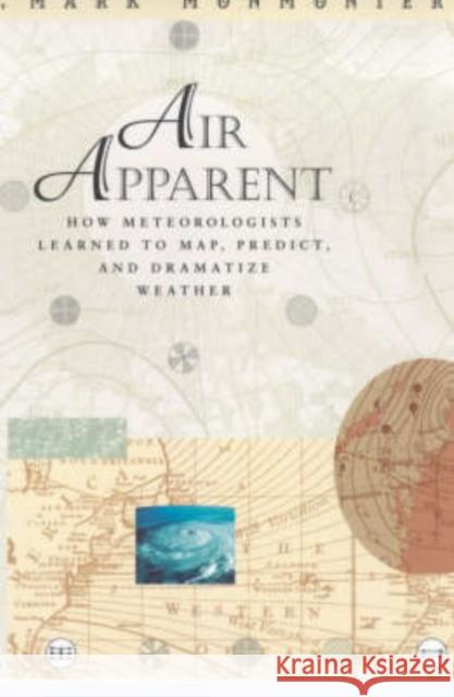 |
Air Apparent: How Meteorologists Learned to Map, Predict, and Dramatize Weather
ISBN: 9780226534237 / Angielski / Miękka / 324 str. Termin realizacji zamówienia: ok. 5-8 dni roboczych. Weather maps have made our atmosphere visible, understandable, and at least moderately predictable. In Air Apparent Mark Monmonier traces debates among scientists eager to unravel the enigma of storms and global change, explains strategies for mapping the upper atmosphere and forecasting disaster, and discusses efforts to detect and control air pollution. Fascinating in its scope and detail, Air Apparent makes us take a second look at the weather map, an image that has been, and continues to be, central to our daily lives.
Weather maps have made our atmosphere visible, understandable, and at least moderately predictable. In Air Apparent Mark Monmonier traces debat...
|
cena:
123,23 |


