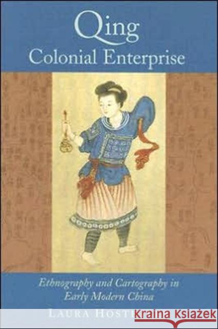
Qing Colonial Enterprise: Ethnography and Cartography in Early Modern China » książka
Qing Colonial Enterprise: Ethnography and Cartography in Early Modern China
ISBN-13: 9780226354217 / Angielski / Miękka / 2005 / 288 str.
Laura Hostetler here shows how Qing China (1636-1911) used cartography and ethnography to pursue its imperial ambitions. She argues that far from being on the periphery of developments in the early modern period, Qing China both participated in and helped shape the new emphasis on empirical scientific knowledge that was simultaneously transforming Europe and its colonial empires at the time.
Although mapping in China is almost as old as Chinese civilization itself, the Qing insistence on accurate scale maps of their territory was a new response to the difficulties of administering a vast and growing empire. Likewise, direct observation became increasingly important to Qing ethnographic writings, such as the illustrated manuscripts known as "Miao albums" (from which twenty color paintings are reproduced in this book). These were intended to educate Qing officials about various non-Han peoples so they could govern these groups more effectively. Hostetler's groundbreaking study provides a wealth of insights to anyone interested in the significance of cartography, the growth of empire, or this exciting period of Chinese history.
"This book makes a significant contribution to existing scholarship by drawing attention to the importance of visual representation in relation to the process of empire-building. This is a carefully researched, highly readable, and visually appealing work." L. J. Newby, Journal of the Royal Anthropological Institute
"


