» książki » Technology & Engineering - Cartography
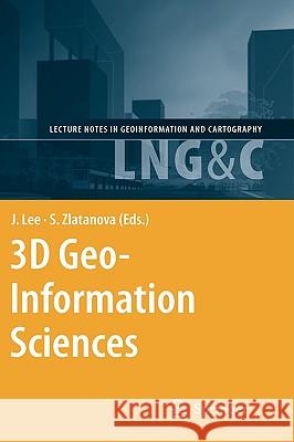 |
3D Geo-Information Sciences
ISBN: 9783540873945 / Angielski / Twarda / 435 str. Termin realizacji zamówienia: ok. 5-8 dni roboczych. In recent years 3D geo-information has become an important research area due to the increased complexity of tasks in many geo-scientific applications, such as sustainable urban planning and development, civil engineering, risk and disaster management and environmental monitoring. Moreover, a paradigm of cross-application merging and integrating of 3D data is observed. The problems and challenges facing today's 3D software, generally application-oriented, focus almost exclusively on 3D data transportability issues - the ability to use data originally developed in one modelling/visualisation...
In recent years 3D geo-information has become an important research area due to the increased complexity of tasks in many geo-scientific applications,...
|
cena:
603,81 |
 |
Weighing the World: The Quest to Measure the Earth
ISBN: 9780195384956 / Angielski / Miękka / 304 str. Termin realizacji zamówienia: ok. 5-8 dni roboczych. At the start of the 18th century there were no maps, anywhere in the world. No one knew, with any certainty, the shape of the earth or what lay beneath its surface. Was it hollow or solid? Were the Andes the highest mountains on the Earth or was it the peak of Tenerife? Was the Earth a perfect sphere or slightly squashed as Sir Isaac Newton prophesized? In Weighing the World, master-surveyor and bestselling author Edwin Danson presents the stories of the scientists and scholars who cut their way through jungles, crossed the artic tundra, and braved the world's highest mountains to...
At the start of the 18th century there were no maps, anywhere in the world. No one knew, with any certainty, the shape of the earth or what lay beneat...
|
cena:
140,54 |
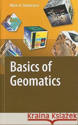 |
Basics of Geomatics
ISBN: 9781402090134 / Angielski / Twarda / 700 str. Termin realizacji zamówienia: ok. 5-8 dni roboczych. Geomatics is a neologism, the use of which is becoming increasingly widespread, even if it is not still universally accepted. It includes several disciplines and te- niques for the study of the Earth s surface and its environments, and computer science plays a decisive role. A more meaningful and appropriate expression is G- spatial Information or GeoInformation. Geo-spatial Information embeds topography in its more modern forms (measurements with electronic instrumentation, sophisticated techniques of data analysis and network compensation, global satellite positioning techniques, laser...
Geomatics is a neologism, the use of which is becoming increasingly widespread, even if it is not still universally accepted. It includes several disc...
|
cena:
925,87 |
 |
Longitude by Wire: Finding North America
ISBN: 9781570038013 / Angielski / Twarda / 256 str. Termin realizacji zamówienia: ok. 5-8 dni roboczych. This is a compelling narrative of how American ingenuity solved an international scientific mystery. At the turn of the nineteenth century, even the most experienced mariners were still risking catastrophe when navigating the North American coastline because they lacked accurate navigational charts. The various means available to chart makers of the era to measure longitude, both celestial and terrestrial, could be off by thousands of feet - a deadly margin of error for ships when facing collision against unknown coastal cliffs, reefs, and shoals. In 1807 the United States Coast Survey was...
This is a compelling narrative of how American ingenuity solved an international scientific mystery. At the turn of the nineteenth century, even the m...
|
cena:
136,80 |
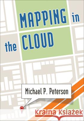 |
Mapping in the Cloud
ISBN: 9781462514038 / Angielski / Twarda / 421 str. Termin realizacji zamówienia: ok. 5-8 dni roboczych. This engaging text provides a solid introduction to mapmaking in the era of cloud computing. It takes students through both the concepts and technology of modern cartography, geographic information systems (GIS), and Web-based mapping. Conceptual chapters delve into the meaning of maps and how they are developed, covering such topics as map layers, GIS tools, mobile mapping, and map animation. Methods chapters take a learn-by-doing approach to help students master application programming interfaces and build other technical skills for creating maps and making them available on the Internet....
This engaging text provides a solid introduction to mapmaking in the era of cloud computing. It takes students through both the concepts and technolog...
|
cena:
464,29 |
 |
Geschichte Der Geodäsie in Deutschland
ISBN: 9783110207194 / Niemiecki / Twarda / 400 str. Termin realizacji zamówienia: ok. 5-8 dni roboczych. This book presents the developments of geodesy from antiquity through the Middle Ages and the early modern era, right up to the middle of the 20th century, with a special focus on the developments in Germany. This book presents the developments of geodesy from antiquity through the Middle Ages and the early modern era, right up to the middle of the 20th... |
cena:
764,67 |
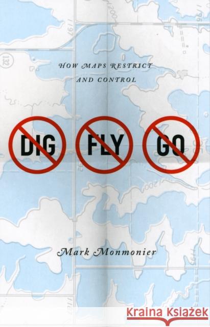 |
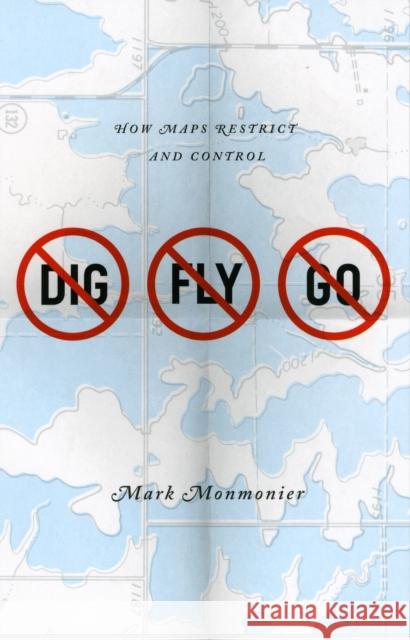
No Dig, No Fly, No Go: How Maps Restrict and Control
ISBN: 9780226534688 / Angielski / Miękka / 216 str. Termin realizacji zamówienia: ok. 5-8 dni roboczych. Some maps help us find our way; others restrict where we go and what we do. These maps control behavior, regulating activities from flying to fishing, prohibiting students from one part of town from being schooled on the other, and banishing certain individuals and industries to the periphery. This restrictive cartography has boomed in recent decades as governments seek regulate activities as diverse as hiking, building a residence, opening a store, locating a chemical plant, or painting your house anything but regulation colors. It is this aspect of mapping its power to prohibit that... Some maps help us find our way; others restrict where we go and what we do. These maps control behavior, regulating activities from flying to fishi... |
cena:
92,61 |
 |
No Dig, No Fly, No Go: How Maps Restrict and Control
ISBN: 9780226534671 / Angielski / Twarda / 216 str. Termin realizacji zamówienia: ok. 5-8 dni roboczych. Some maps help us find our way; others restrict where we go and what we do. These maps control behavior, regulating activities from flying to fishing, prohibiting students from one part of town from being schooled on the other, and banishing certain individuals and industries to the periphery. This restrictive cartography has boomed in recent decades as governments seek regulate activities as diverse as hiking, building a residence, opening a store, locating a chemical plant, or painting your house anything but regulation colors. It is this aspect of mapping its power to prohibit that... Some maps help us find our way; others restrict where we go and what we do. These maps control behavior, regulating activities from flying to fishi... |
cena:
391,02 |
 |
Testarossa
ISBN: 9781905748587 / Angielski / Miękka / 146 str. Termin realizacji zamówienia: ok. 5-8 dni roboczych. In the latter years of Queen Mary's short and turbulent reign in the mid-sixteenth century, England was still on the cusp of acquiring the reputation as a great sea faring nation that would come in the Elizabethan era. Into the hotbed of religious and political turmoil that was England at this time came a gentleman of possibly Italian lineage. How he came to be in London and for what reason he produced this work, we are not sure. What we do know however, is that he created a visually stunning and technically brilliant navigation manual of which we believe this to be the only version in... In the latter years of Queen Mary's short and turbulent reign in the mid-sixteenth century, England was still on the cusp of acquiring the reputati... |
cena:
232,20 |
 |
The Survey of Palestine Under the British Mandate, 1920-1948
ISBN: 9780415594981 / Angielski / Miękka / 340 str. Termin realizacji zamówienia: ok. 5-8 dni roboczych. Dav Gavish presents an historical study of the survey & mapping of Palestine under the British Mandate. Then, as now, the question of land ownership & boundaries was the most salient consideration.
Dav Gavish presents an historical study of the survey & mapping of Palestine under the British Mandate. Then, as now, the question of land ownership &...
|
cena:
288,33 |
 |
Die Anfertigung Forstlicher Terrain Karten Auf Grund Barometrischer Hohenmessungen Und Die Wegnetzprojectirung
ISBN: 9781145046795 / Angielski / Miękka / 90 str. Termin realizacji zamówienia: ok. 5-8 dni roboczych. This is an EXACT reproduction of a book published before 1923. This IS NOT an OCR'd book with strange characters, introduced typographical errors, and jumbled words. This book may have occasional imperfections such as missing or blurred pages, poor pictures, errant marks, etc. that were either part of the original artifact, or were introduced by the scanning process. We believe this work is culturally important, and despite the imperfections, have elected to bring it back into print as part of our continuing commitment to the preservation of printed works worldwide. We appreciate your...
This is an EXACT reproduction of a book published before 1923. This IS NOT an OCR'd book with strange characters, introduced typographical errors, and...
|
cena:
67,34 |
 |
Developments in 3D Geo-Information Sciences
ISBN: 9783642047909 / Angielski / Twarda / 236 str. Termin realizacji zamówienia: ok. 5-8 dni roboczych. Realistically representing our three-dimensional world has been the subject of many (philosophical) discussions since ancient times. While the recognition of the globular shape of the Earth goes back to Pythagoras' statements of the sixth century B. C., the two-dimensional, circular depiction of the Earth's surface has remained prevailing and also dominated the art of painting until the late Middle Ages. Given the immature technological means, objects on the Earth's surface were often represented in academic and technical disciplines by two-dimensional cross-sections oriented along...
Realistically representing our three-dimensional world has been the subject of many (philosophical) discussions since ancient times. While the recogni...
|
cena:
603,81 |
 |
Biotoptypenkartierung
ISBN: 9783638826617 / Niemiecki / Miękka / 44 str. Termin realizacji zamówienia: ok. 5-8 dni roboczych. Studienarbeit aus dem Jahr 1998 im Fachbereich Geowissenschaften / Geographie - Kartographie, Geodasie, Geoinformationswissenschaften, Note: 2,0, Universitat zu Koln (Geographisches Institut Koln), Veranstaltung: Venezuela: Landschaftserfassung - Landschaftsbewertung - Landschaftsprasentation, Sprache: Deutsch, Abstract: Die fortschreitende technisch-industrielle Entwicklung und die damit verbundenen Eingriffe in den Naturhaushalt sowie eine Vielzahl anderer Belastungen haben zu erheblichen Veranderungen der naturlichen Lebensgrundlagen gefuhrt. Nur wenige Prozent der Gesamtflache der...
Studienarbeit aus dem Jahr 1998 im Fachbereich Geowissenschaften / Geographie - Kartographie, Geodasie, Geoinformationswissenschaften, Note: 2,0, Univ...
|
cena:
144,47 |
 |
Einführung in Leitungsinformationssysteme
ISBN: 9783638754897 / Niemiecki / Miękka / 36 str. Termin realizacji zamówienia: ok. 5-8 dni roboczych. Studienarbeit aus dem Jahr 2005 im Fachbereich Geowissenschaften / Geographie - Kartographie, Geodasie, Geoinformationswissenschaften, Note: 1,3, Universitat Augsburg, Veranstaltung: Angewandte Geoinformatik, 7 Literaturquellen, 2 Internetquellen Quellen im Literaturverzeichnis, Sprache: Deutsch, Abstract: In unseren Boden befinden sich unzahlige Leitungen, welche die unverzichtbare Basis fur die Ver- und Entsorgung der Gesellschaft mit Wasser, Strom, Gas, Abwasser usw. darstellen. Und diese Infrastruktur im Bereich Ver- und Entsorgungsnetze wachst permanent. Um den Betrieb der Energie- und...
Studienarbeit aus dem Jahr 2005 im Fachbereich Geowissenschaften / Geographie - Kartographie, Geodasie, Geoinformationswissenschaften, Note: 1,3, Univ...
|
cena:
138,14 |
 |
Apocalyptic Cartography: Thematic Maps and the End of the World in a Fifteenth-Century Manuscript
ISBN: 9789004304536 / Angielski / Twarda / 254 str. Termin realizacji zamówienia: ok. 5-8 dni roboczych. In Apocalyptic Cartography: Thematic Maps and the End of the World in a Fifteenth-Century Manuscript, Chet Van Duzer and Ilya Dines analyse Huntington Library HM 83, an unstudied manuscript produced in Lubeck, Germany. The manuscript contains a rich collection of world maps produced by an anonymous but strikingly original cartographer. These include one of the earliest programs of thematic maps, and a remarkable series of maps that illustrate the transformations that the world was supposed to undergo during the Apocalypse. The authors supply detailed discussion of the maps and...
In Apocalyptic Cartography: Thematic Maps and the End of the World in a Fifteenth-Century Manuscript, Chet Van Duzer and Ilya Dines analyse Hun...
|
cena:
641,66 |
 |
Konzept zur Erstellung einer Website mit Karten und Karteninhalten anhand des Beispiels "www.muenchen-via-rollstuhl.de
ISBN: 9783640115457 / Niemiecki / Miękka / 82 str. Termin realizacji zamówienia: ok. 5-8 dni roboczych. Diplomarbeit aus dem Jahr 2008 im Fachbereich Geowissenschaften / Geographie - Kartographie, Geodasie, Geoinformationswissenschaften, Note: 1,3, Ludwig-Maximilians-Universitat Munchen, 19 Quellen im Literaturverzeichnis, Sprache: Deutsch, Abstract: Karten bieten seit jeher eine unverzichtbare Orientierungshilfe. Wohl schon im Neolithikum wurden erste kartographische Werke verfasst. In der heutigen Zeit sind digitale Karten nicht mehr wegzudenken. Benotigte man vor 20 Jahren zur Urlaubsanreise noch eine herkommliche Landkarte aus Papier, steigen in den letzten Jahren die Verkaufszahlen der...
Diplomarbeit aus dem Jahr 2008 im Fachbereich Geowissenschaften / Geographie - Kartographie, Geodasie, Geoinformationswissenschaften, Note: 1,3, Ludwi...
|
cena:
231,55 |
 |
Mapping in the Cloud
ISBN: 9781462510412 / Angielski / Miękka / 421 str. Termin realizacji zamówienia: ok. 5-8 dni roboczych. This engaging text provides a solid introduction to mapmaking in the era of cloud computing. It takes students through both the concepts and technology of modern cartography, geographic information systems (GIS), and Web-based mapping. Conceptual chapters delve into the meaning of maps and how they are developed, covering such topics as map layers, GIS tools, mobile mapping, and map animation. Methods chapters take a learn-by-doing approach to help students master application programming interfaces and build other technical skills for creating maps and making them available on the Internet....
This engaging text provides a solid introduction to mapmaking in the era of cloud computing. It takes students through both the concepts and technolog...
|
cena:
307,88 |
 |
Vegetationsklassifikation mittels hochaufgelöster Satellitendaten im Permafrostgebiet von Jakutsk
ISBN: 9783656269427 / Niemiecki / Miękka / 66 str. Termin realizacji zamówienia: ok. 5-8 dni roboczych. Bachelorarbeit aus dem Jahr 2009 im Fachbereich Geowissenschaften / Geographie - Kartographie, Geodasie, Geoinformationswissenschaften, Note: 1,8, Friedrich-Schiller-Universitat Jena (Fernerkundung), Sprache: Deutsch, Abstract: Im Rahmen des DUE (Data User Element) Permafrost Project der ESA (European Space Agency) entstand die vorliegende Arbeit, die untersucht, wie Vegetation und Vegetationsmuster im sibirischen Permafrostgebiet mithilfe hochaufgeloster Satellitendaten erkannt und klassifiziert werden konnen. Dieses Ziel soll mittels einer objektorientierten Losungsmethode erreicht werden...
Bachelorarbeit aus dem Jahr 2009 im Fachbereich Geowissenschaften / Geographie - Kartographie, Geodasie, Geoinformationswissenschaften, Note: 1,8, Fri...
|
cena:
205,42 |
 |
Maphead: Charting the Wide, Weird World of Geography Wonks
ISBN: 9781439167182 / Angielski / Miękka / 304 str. Termin realizacji zamówienia: ok. 5-8 dni roboczych. Record-setting Jeopardy champion and New York Times bestselling author Ken Jennings explores the world of maps and map obsessives, "a literary gem" (The Atlantic) now available in paperback. Ken Jennings takes readers on a world tour of geogeeks from the London Map Fair to the bowels of the Library of Congress, from the prepubescent geniuses at the National Geographic Bee to the computer programmers at Google Earth. Each chapter delves into a different aspect of map culture: highpointing, geocaching, road atlas rallying, even the "unreal estate" charted on...
Record-setting Jeopardy champion and New York Times bestselling author Ken Jennings explores the world of maps and map obsessives, "...
|
cena:
71,58 |
 |
2007
ISBN: 9783110284218 / Angielski / Miękka / 424 str. Termin realizacji zamówienia: ok. 5-8 dni roboczych. This annually published Bibliography provides an overview of cartographical literature published around the world. Each annual volume lists approximately 2,000 monographs and articles published in some 400 periodicals. These are all analysed by an international group of collaborating experts. Among the topics covered are the history of cartography, cartographic personalities and institutions, the making of maps, areas such as topographical or atlas cartography, or maps for the blind, film and screen maps and the use of maps. Titles are listed in their original language and can be looked up...
This annually published Bibliography provides an overview of cartographical literature published around the world. Each annual volume lists approximat...
|
cena:
552,21 |


