» książki » Technology & Engineering - Cartography
 |
Map Use: Map Reading and Design, Volume 1
ISBN: 9781589487758 / Angielski / 03-03-2026 Książka dostępna od: 03-03-2026 |
|
Termin ukazania się książki: 03-03-2026
Książkę można już zamówić z rabatem 5% |
|
336,52 |
 |
Map Use: Map Reading and Design, Volume 1
ISBN: 9781589488816 / Angielski / 03-03-2026 Książka dostępna od: 03-03-2026 |
|
Termin ukazania się książki: 03-03-2026
Książkę można już zamówić z rabatem 5% |
|
569,73 |
 |
The 226 City Maps of Jacob Van Deventer in Figures: Street Lengths, Accuracy in Relation to Modern Maps, Cross-Comparisons
ISBN: 9789004755024 / Angielski / 19-03-2026 Książka dostępna od: 19-03-2026 |
|
Termin ukazania się książki: 19-03-2026
Książkę można już zamówić z rabatem 5% |
|
867,93 |
 |
Dynamic Point Symbols in Earthquake Mapping: Visualization Research in Space and Time
ISBN: 9781041216933 / Angielski / 17-04-2026 Książka dostępna od: 17-04-2026 |
|
Termin ukazania się książki: 17-04-2026
Książkę można już zamówić z rabatem 5% |
|
556,07 |
 |
GIS, Applied Computing and Data Science for Water Management
ISBN: 9783031630408 / Angielski / Miękka / 257 str. Termin realizacji zamówienia: ok. 5-8 dni roboczych. This book contains a selection of the best articles presented at the 4th International Conference GIRE3D - Participatory and Integrated Management of Water Resources in Arid Zones, November 23th-25th , Help at Laayoune - Morocco, co-organized by Moroccan Committee of the International Hydraulics Association (CM-AIH) and Hydraulic basin agency of Sakia El Hamra and Oued Eddahab (ABHSHOD). It discusses the role of computational and geospatial technologies for water resources sustainable management and is intended primarily for professional, researchers, teachers and postgraduate... This book contains a selection of the best articles presented at the 4th International Conference GIRE3D - Participatory and Integrated Manage... |
cena:
684,33 |
 |
Weighing the World: The Quest to Measure the Earth
ISBN: 9780195181692 / Angielski / Twarda / 304 str. Termin realizacji zamówienia: ok. 5-8 dni roboczych. Weighing the World is a revealing behind-the-scenes look at the scientific events leading to modern map making, written by one of the world's master surveyors. Edwin Danson, using a similar approach to his earlier best seller, "Drawing the Line: How Mason and Dixon Surveyed the Most Important Border in America" (Wiley, 2000) takes us on a journey telling the story of this experiment that has not been written about in over two hundred years. National jealousies, commercial and political rivalry were the underlying causes for many of the eighteenth century's wars but war also provided...
Weighing the World is a revealing behind-the-scenes look at the scientific events leading to modern map making, written by one of the world's...
|
cena:
339,01 |
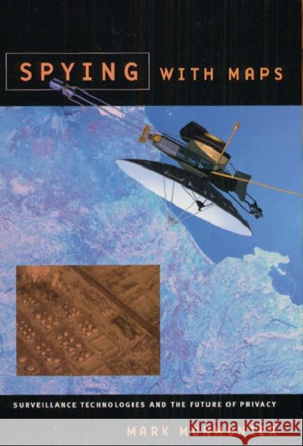 |
Spying with Maps: Surveillance Technologies and the Future of Privacy
ISBN: 9780226534275 / Angielski / Twarda / 264 str. Termin realizacji zamówienia: ok. 5-8 dni roboczych. Maps, as we know, help us find our way around. But they're also powerful tools for someone hoping to find you. Widely available in electronic and paper formats, maps offer revealing insights into our movements and activities, even our likes and dislikes. In Spying with Maps, the maptician Mark Monmonier looks at the increased use of geographic data, satellite imagery, and location tracking across a wide range of field such as military intelligence. law enforcement, market research and traffic engineering. Could these diverse forms of geographic monitoring, he asks, lead to grave consequences...
Maps, as we know, help us find our way around. But they're also powerful tools for someone hoping to find you. Widely available in electronic and pape...
|
cena:
225,92 |
 |
The Mapmakers: Revised Edition
ISBN: 9780375708503 / Angielski / Miękka / 528 str. Termin realizacji zamówienia: ok. 5-8 dni roboczych. In his classic text, two-time Pulitzer Prize-winner John Noble Wilford recounts the history of cartography from antiquity to the space age.
They are among the world's great pioneers and adventurers: the mapmakers who for centuries have been expanding our knowledge of who and where we are, and where we want to go. From the surprisingly accurate silk maps prepared by Chinese cartographers in the second century B.C., to medieval mapmakers who believed they had fixed the location of paradise, through to the expeditions of Columbus and Magellan, John Noble Wilford chronicles the... In his classic text, two-time Pulitzer Prize-winner John Noble Wilford recounts the history of cartography from antiquity to the space age. |
cena:
86,22 |
 |
The Survey of Palestine Under the British Mandate, 1920-1948
ISBN: 9780714656519 / Angielski / Twarda / 360 str. Termin realizacji zamówienia: ok. 5-8 dni roboczych. This book is a historical study of the survey and mapping system of Palestine under the British Mandate. It traces the background and the reasoning behind the establishment of the survey programme, examines the foundations upon which the system was based, and strives to understand the motivation of those who implemented it. This study shows that the roots of the modern survey system of Palestine are to be sought in the Balfour Declaration and its implications regarding land in Palestine. The land issue was at the core of the mapping of Mandatory Palestine, and it remains as a core issue at...
This book is a historical study of the survey and mapping system of Palestine under the British Mandate. It traces the background and the reasoning be...
|
cena:
780,44 |
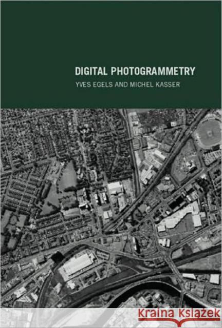 |
Digital Photogrammetry
ISBN: 9780748409457 / Angielski / Miękka / 376 str. Termin realizacji zamówienia: ok. 5-8 dni roboczych. Photogrammetry is the use of photography for surveying primarily and is used for the production of maps from aerial photographs. Along with remote sensing, it represents the primary means of generating data for Geographic Information Systems (GIS). As technology develops, it is becoming easier to gain access to it. The cost of digital photogrammetric workstations are falling quickly and these new tools are therefore becoming accessible to more and more users. Digital Photogrammetry is particularly useful as a text for graduate students in geomantic and is also suitable for people with a good...
Photogrammetry is the use of photography for surveying primarily and is used for the production of maps from aerial photographs. Along with remote sen...
|
cena:
560,94 |
 |
Trading Territories
ISBN: 9780801434990 / Angielski / Twarda / 256 str. Termin realizacji zamówienia: ok. 5-8 dni roboczych. In this generously illustrated book, Jerry Brotton documents the dramatic changes in the nature of geographical representation which took place during the sixteenth century, explaining how much they convey about the transformation of European culture at the end of the early modern era. He examines the age's fascination with maps, charts, and globes as both texts and artifacts that provided their owners with a promise of gain, be it intellectual, political, or financial.
From the Middle Ages through most of the sixteenth century, Brotton argues, mapmakers deliberately exploited the partial,... In this generously illustrated book, Jerry Brotton documents the dramatic changes in the nature of geographical representation which took place during...
|
cena:
425,87 |
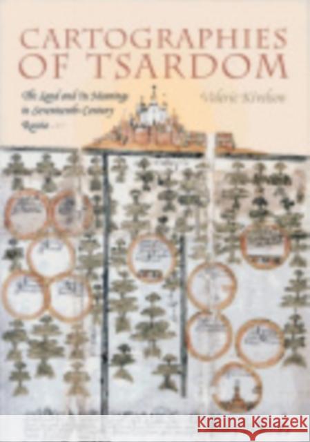 |
Cartographies of Tsardom: The Land and Its Meanings in Seventeenth-Century Russia
ISBN: 9780801472534 / Angielski / Miękka / 280 str. Termin realizacji zamówienia: ok. 5-8 dni roboczych. Toward the end of the sixteenth century, and throughout the seventeenth, thinking in spatial terms assumed extraordinary urgency among Russia's ruling elites. The two great developments of this era in Russian history-the enserfment of the peasantry...
Toward the end of the sixteenth century, and throughout the seventeenth, thinking in spatial terms assumed extraordinary urgency among Russia's ruling...
|
cena:
117,02 |
 |
World Views: Maps and Art
ISBN: 9780816636860 / Angielski / Miękka / 80 str. Termin realizacji zamówienia: ok. 5-8 dni roboczych. While many modern artists have been fascinated by the formal richness, the conceptual foundations, and the social significance of maps, cartographers have long used the techniques of artists to create maps that express much more than how to get from one place to another. World Views is the companion volume to an exhibition at the Frederick R. Weisman Art Museum that is the first to combine maps, contemporary art that uses map forms and strategies, and commissioned works of art based on the idea of map making.
Densely illustrated with full-color reproductions, World Views shows how maps are... While many modern artists have been fascinated by the formal richness, the conceptual foundations, and the social significance of maps, cartographers ...
|
cena:
97,50 |
 |
Going to Texas: Five Centuries of Texas Maps
ISBN: 9780875653440 / Angielski / Twarda / 144 str. Termin realizacji zamówienia: ok. 5-8 dni roboczych. This volume illustrates the history of the Lone Star State through color plates of sixty-four historic Texas maps from the Marty and Yana Davis Map Collection, Sul Ross University, Alpine, and includes ten original essays written by noted historians. Going to Texas is a catalog that will accompany the exhibition of the Davis Map Collection to ten museums throughout the Southwest over a period of two years. It will begin in Dallas at the Hall of State with the Dallas Historical Society and conclude at the National Cowgirl Museum and Hall of Fame in Fort Worth. The maps range from...
This volume illustrates the history of the Lone Star State through color plates of sixty-four historic Texas maps from the Marty and Yana Davis Map Co...
|
cena:
156,09 |
 |
How Maps Work: Representation, Visualization, and Design
ISBN: 9780898625899 / Angielski / Twarda / 513 str. Termin realizacji zamówienia: ok. 5-8 dni roboczych. This classic work presents a cognitive-semiotic framework for understanding how maps work as powerful, abstract, and synthetic spatial representations. Explored are the ways in which the many representational choices inherent in mapping interact with information processing and knowledge construction, and how the resulting insights can be used to make informed symbolization and design decisions. A new preface to the paperback edition situates the book within the context of contemporary technologies. As the nature of maps continues to evolve, Alan MacEachren emphasizes the ongoing need to think...
This classic work presents a cognitive-semiotic framework for understanding how maps work as powerful, abstract, and synthetic spatial representations...
|
cena:
463,34 |
 |
Spatial Database Systems: Design, Implementation and Project Management
ISBN: 9781402053917 / Angielski / Twarda / 553 str. Termin realizacji zamówienia: ok. 5-8 dni roboczych. The decision to write this book was motivated by a number of factors. First, although several useful textbooks on spatial databases have recently been published, this is an area of spatial information science that has lagged somewhat behind the rapid advances of the technology and the profusion of books on domain-specific applications. Second, much of the information pertaining to spatial database technologies is only available in scattered journal papers and conference proceedings, and prior to this book no single effort has been made to sift through this expansive literature and unite the...
The decision to write this book was motivated by a number of factors. First, although several useful textbooks on spatial databases have recently been...
|
cena:
1529,72 |
 |
Managing Geographic Information Systems
ISBN: 9781593856359 / Angielski / Twarda / 360 str. Termin realizacji zamówienia: ok. 5-8 dni roboczych. Now in a fully revised and expanded second edition, this widely adopted text and practical reference addresses all aspects of developing and using geographic information systems (GIS) within an organization. Coverage includes the role of the GIS professional, how geographic information fits into broader management information systems, the use of GIS in strategic planning, and ways to navigate the organizational processes that support or inhibit the success of GIS implementation. All chapters retained from the prior edition have been thoroughly updated to reflect significant technological,...
Now in a fully revised and expanded second edition, this widely adopted text and practical reference addresses all aspects of developing and using geo...
|
cena:
336,51 |
 |
Representing the Republic: Mapping the United States 1600-1900
ISBN: 9781861890863 / Angielski / Twarda / 312 str. Termin realizacji zamówienia: ok. 5-8 dni roboczych. Representing the Republic provides an intriguing account of the mapping of America from its colonial origins to 1900. The most significant maps and mapmakers are discussed in a survey that begins with the first European mappings of New Netherlands in the early seventeenth century and concludes with the Rand McNally atlases of the 1890s.
Maps tell us a great deal about the transformation of America's national identity. Having undertaken extensive research in map collections, including work with rare archival materials, prominent geographer John Rennie Short provides an account of... Representing the Republic provides an intriguing account of the mapping of America from its colonial origins to 1900. The most significant maps...
|
cena:
128,36 |
 |
Angewandte Geodäsie: Vermessungskunde
ISBN: 9783110184648 / Niemiecki / Twarda / 699 str. Termin realizacji zamówienia: ok. 5-8 dni roboczych. Dieses Standardwerk behandelt die Grundlagen sowie Mess- und Berechnungsverfahren der Vermessungskunde. Vorgestellt werden die unterschiedlichsten Messsysteme, mit denen sich - von Satelliten, Flugzeugen, Schiffen oder der Erde aus - Informationen uber die Gestalt der Erdoberflache gewinnen und in unterschiedlichen Referenzsystemen darstellen lassen. Schwerpunkte bilden die folgenden Themen:
Dieses Standardwerk behandelt die Grundlagen sowie Mess- und Berechnungsverfahren der Vermessungskunde. Vorgestellt werden die unterschiedlichsten ... |
cena:
212,26 |
 |
Self-Organising Maps: Applications in Geographic Information Science
ISBN: 9780470021675 / Angielski / Twarda / 214 str. Termin realizacji zamówienia: ok. 5-8 dni roboczych. Self-Organising Maps: Applications in GI Science brings together the latest geographical research where extensive use has been made of the SOM algorithm, and provides readers with a snapshot of these tools that can then be adapted and used in new research projects. The book begins with an overview of the SOM technique and the most commonly used (and freely available) software; it is then sectioned to look at the different uses of the technique, namely clustering, data mining and cartography, from a range of application-areas in the biophysical and socio-economic environments.
Self-Organising Maps: Applications in GI Science brings together the latest geographical research where extensive use has been made of the SOM ...
|
cena:
713,44 |


