topmenu
Wyniki wyszukiwania:
wyszukanych pozycji: 11
 |
The Comparative History of Urban Origins in Non-Roman Europe, Part ii: Ireland, Wales, Denmark, Germany, Poland and Russia from the Ninth to the Thirt
ISBN: 9781407391229 / Angielski / Miękka / 1985 / 404 str. Termin realizacji zamówienia: ok. 16-18 dni roboczych. |
cena:
505,20 |
 |
The Comparative History of Urban Origins in Non-Roman Europe, Part i: Ireland, Wales, Denmark, Germany, Poland and Russia from the Ninth to the Thirte
ISBN: 9781407391212 / Angielski / Miękka / 1985 / 386 str. Termin realizacji zamówienia: ok. 16-18 dni roboczych. |
cena:
505,20 |
 |
Lords and Towns in Medieval Europe: The European Historic Towns Atlas Project
ISBN: 9780367888015 / Angielski / Miękka / 2019 / 574 str. Termin realizacji zamówienia: ok. 16-18 dni roboczych. |
cena:
226,62 |
 |
The Comparative History of Urban Origins in Non-Roman Europe: Ireland, Wales, Denmark, Germany, Poland and Russia from the Ninth to the Thirteenth Century
ISBN: 9780860543268 / Angielski Termin realizacji zamówienia: ok. 30 dni roboczych. |
cena:
875,31 |
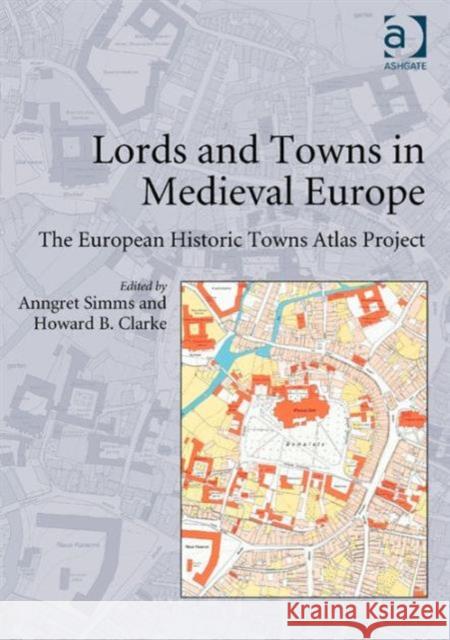 |
Lords and Towns in Medieval Europe: The European Historic Towns Atlas Project
ISBN: 9780754663546 / Angielski / Twarda / 2015 / 574 str. Termin realizacji zamówienia: ok. 16-18 dni roboczych. This volume is based on possibly the biggest single Europe-wide project in urban history. In 1955 the International Commission for the History of Towns established the European historic towns atlas project in accordance with a common scheme in order to encourage comparative urban studies. Although advances in urban archaeology since the 1960s have highlighted the problematic relationship between the oldest extant town plan and the actual origins of a town, the large-scale cadastral maps as they have been made available by the European historic towns atlas project are still necessary if we...
This volume is based on possibly the biggest single Europe-wide project in urban history. In 1955 the International Commission for the History of Town...
|
cena:
837,70 |
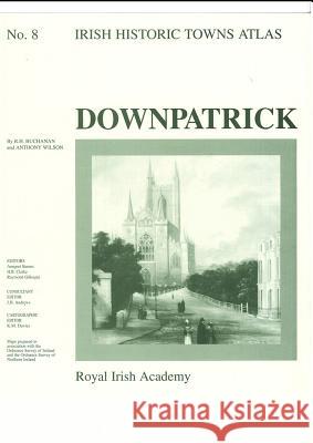 |
Downpatrick: Irish Historic Towns Atlas, no. 8
ISBN: 9781874045489 / Angielski / Mapa, składana / 1997 / 16 str. Termin realizacji zamówienia: ok. 30 dni roboczych. Number 8 in the Irish Historic Towns Atlas series, Downpatrick traces the history of this monastic town through its cartographic and primary sources from earliest times to c. 1900. The fascicle contains Ordnance Survey and historical maps as well as historic and aerial photographs. An essay describes the topographical evolution of Downpatrick and a gazetteer, or topographical information, includes histories of over 500 sites in the town. These atlases illustrate characteristic periods of town formation in Ireland and reflect the country's cultural identity through the town's topographical...
Number 8 in the Irish Historic Towns Atlas series, Downpatrick traces the history of this monastic town through its cartographic and primary sources f...
|
cena:
103,74 |
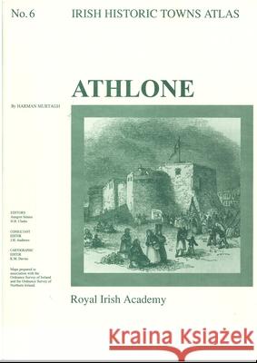 |
Athlone: Irish Historic Towns Atlas, no. 6
ISBN: 9781874045137 / Angielski / Mapa, składana / 1994 / 25 str. Termin realizacji zamówienia: ok. 30 dni roboczych. Number 6 of the Irish Historic Tows Atlas series, this fascicle illustrates characteristic periods of Athlone's cultural formation and its topographical history. It illuminates points in the development of a strategic town on the River Shannon in County Westmeath. The folder contains a coloured map; eight pages of black and white maps and plates and 16 pages of text where the history of over 700 sites are traced. Series editors: Anngret Simms, H.B. Clarke; Consultant editor: J.H. Andrews; Cartographic editor: K.M. Davies
Number 6 of the Irish Historic Tows Atlas series, this fascicle illustrates characteristic periods of Athlone's cultural formation and its topographic...
|
cena:
103,74 |
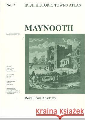 |
Maynooth: Irish Historic Towns Atlas, no. 7
ISBN: 9781874045335 / Angielski / Mapa, składana / 1995 / 12 str. Termin realizacji zamówienia: ok. 30 dni roboczych. Number 7 in the Irish Historic Towns Atlas series, Maynooth traces the history of this eighteenth-century town through its cartographic and primary sources from earliest times to c. 1900. The fascicle contains Ordnance Survey and historical maps as well as historic and aerial photographs. An essay describes the topographical evolution of Maynooth and a gazetteer, or topographical information, includes histories of c. 400 sites in the town. These atlases illustrate characteristic periods of town formation in Ireland and reflect the country's cultural identity through the town's topographical...
Number 7 in the Irish Historic Towns Atlas series, Maynooth traces the history of this eighteenth-century town through its cartographic and primary so...
|
cena:
103,74 |
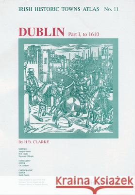 |
Dublin, part I, to 1610: Irish Historic Towns Atlas, no. 11
ISBN: 9781874045892 / Angielski / Mapa, składana / 2003 / 50 str. Termin realizacji zamówienia: ok. 30 dni roboczych. Number 11 in the Irish Historic Towns Atlas series, Dublin, part I, to 1610 is the first in a series of four parts relating to Irish cities. Its breadth of material is underpinned by a topographical information section that lists historical and archaeological details of over 1,300 sites and an essay tracing the development of the city to 1610. The rich body of maps collected here includes: a large composite medieval map illustrating Dublin in c. 840-c. 1540; a map depicting the growth of the city to 1610; John Speed's map of Dublin (1610); maps of Dublin Castle (1606), Christ Church Cathedral...
Number 11 in the Irish Historic Towns Atlas series, Dublin, part I, to 1610 is the first in a series of four parts relating to Irish cities. Its bread...
|
cena:
145,24 |
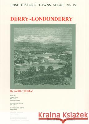 |
Derry~Londonderry: Irish Historic Towns Atlas, no. 15
ISBN: 9781904890133 / Angielski / Mapa, składana / 2005 / 47 str. Termin realizacji zamówienia: ok. 30 dni roboczych. Number 15 in the Irish Historic Towns Atlas series, Derry-Londonderry records the topographical development of the city of Derry. This atlas comprises a detailed essay explaining the city's historical development and includes a rich body of classified topographical information covering the urban area, along with a variety of maps. Historical detail is given of over 2,800 sites. The volume traces the growth of Derry from its foundations as an early monastic site to its plantation period and up to 1900. It is presented in A3 format with 30 large-format reconstructions and views. 21 pages of...
Number 15 in the Irish Historic Towns Atlas series, Derry-Londonderry records the topographical development of the city of Derry. This atlas comprises...
|
cena:
145,24 |
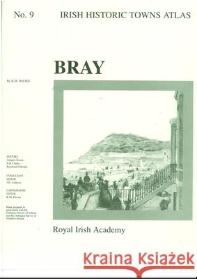 |
Bray: Irish Historic Towns Atlas, no. 9
ISBN: 9781874045649 / Angielski / Mapa, składana / 1998 / 16 str. Termin realizacji zamówienia: ok. 30 dni roboczych. Number 9 in the Irish Historic Towns Atlas series, Bray traces the history of this Anglo-Norman and later nineteenth-century town through its cartographic and primary sources from earliest times up to about 1900. The fascicle contains Ordnance Survey and historical maps as well as historic and aerial photographs. An essay describes the topographical evolution of Bray and a gazetteer or topographical information includes histories of over 200 sites in the town. 2 pages of coloured maps 410 mm x 610 mm; 4 pages of coloured maps and plates 410 mm x 305 mm; 3 pages of black-and-white maps and...
Number 9 in the Irish Historic Towns Atlas series, Bray traces the history of this Anglo-Norman and later nineteenth-century town through its cartogra...
|
cena:
103,74 |


