Belfast c.1600 to c. 1900: the making of the modern city » książka
topmenu
Belfast c.1600 to c. 1900: the making of the modern city
ISBN-13: 9781904890201 / Angielski / Mapa, składana / 2006
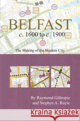
This publication includes a large map with an introductory essay folded to a handy pocket size. Over 200 historical sites have been mapped and indexed. Colour and symbols are imposed on a modern base so the reader can walk the streets of Belfast with a view to the past, map in hand. It is an ancillary publication to Irish Historic Towns Atlas, no. 17, Belfast, part II, 1840 to 1900 by Stephen A. Royle. Authors: Raymond Gillespie, Stephen A. Royle; Cartogrpahy: Sarah Gearty Series editors: Anngret Simms, H.B. Clarke, Raymond Gillespie, Jacinta Prunty; Consultant editor: J.H. Andrews; Cartographic editor: Sarah Gearty; Editorial assistant: Angela Murphy


