» książki » Technology & Engineering - Cartography
 |
All Under Heaven: The Chinese World in Maps, Pictures, and Texts from the Collection of Floyd Sully
ISBN: 9781551953199 / Angielski / Miękka / 128 str. Termin realizacji zamówienia: ok. 5-8 dni roboczych. Floyd Sully, a Canadian collector fascinated by practical yet beautiful representations of China, laboured over 15 years to assemble this beautiful collection focused on maps, documentary paintings, and illustrated texts. It features works produced inside China and abroad that were created for both Chinese and Western viewers. This publication explores important dimensions of Chinese visual culture and offers a diverse and telling set of perspectives on the Chinese world as it underwent a process of profound transformation spanning five centuries of artistic production through to modern...
Floyd Sully, a Canadian collector fascinated by practical yet beautiful representations of China, laboured over 15 years to assemble this beautiful co...
|
cena:
189,80 |
 |
All Under Heaven: The Chinese World in Maps, Pictures, and Texts from the Collection of Floyd Sully
ISBN: 9781551953205 / Angielski / Twarda / 128 str. Termin realizacji zamówienia: ok. 5-8 dni roboczych. Floyd Sully, a Canadian collector fascinated by practical yet beautiful representations of China, laboured over 15 years to assemble this beautiful collection focused on maps, documentary paintings, and illustrated texts. It features works produced inside China and abroad that were created for both Chinese and Western viewers. This publication explores important dimensions of Chinese visual culture and offers a diverse and telling set of perspectives on the Chinese world as it underwent a process of profound transformation spanning five centuries of artistic production through to modern...
Floyd Sully, a Canadian collector fascinated by practical yet beautiful representations of China, laboured over 15 years to assemble this beautiful co...
|
cena:
301,76 |
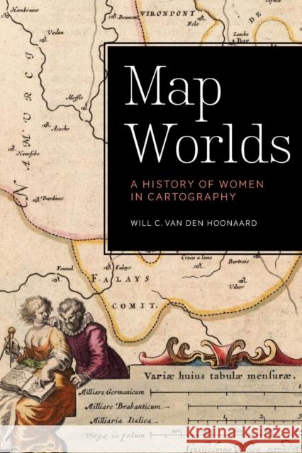 |
Map Worlds: A History of Women in Cartography
ISBN: 9781771121262 / Angielski / Miękka / 394 str. Termin realizacji zamówienia: ok. 5-8 dni roboczych. Map Worlds plots a journey of discovery through the world of women map-makers from the golden age of cartography in the sixteenth-century Low Countries to tactile maps in contemporary Brazil. Author Will C. van den Hoonaard examines the history of women in the profession, sets out the situation of women in technical fields and cartography-related organizations, and outlines the challenges they face in their careers. Map Worlds explores women as colourists in early times, describes the major houses of cartographic production, and delves into the economic function of...
Map Worlds plots a journey of discovery through the world of women map-makers from the golden age of cartography in the sixteenth-century Low C...
|
cena:
141,12 |
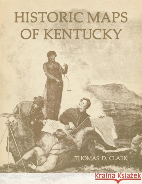 |
Historic Maps of Kentucky
ISBN: 9780813156019 / Angielski / Miękka / 96 str. Termin realizacji zamówienia: ok. 5-8 dni roboczych. Maps published frorn the third quarter of the eighteenth century through the Civil War reflect in colorful detail the emergence of the Commonwealth of Kentucky and the unfolding art of American cartography. Ten maps, selected and annotated by the most eminent historian of Kentucky, have been reproduced in authentic facsimiles. The accompanying booklet includes an illuminating historical essay, as well as notes on the individuaL facsimiles, and is illustrated with numerous details of other notable Kentucky maps. Among the rare maps reproduced are one of the battlefield of Perryville... Maps published frorn the third quarter of the eighteenth century through the Civil War reflect in colorful detail the emergence of the Commonwealth... |
cena:
87,62 |
 |
Cartographic Traditions in East Asian Maps
ISBN: 9780824847654 / Angielski / Twarda / 124 str. Termin realizacji zamówienia: ok. 5-8 dni roboczych. Maps are the manifestation of an intellectual construct of physical and metaphysical environments. They are rich cultural objects presenting and transmitting information about time and place of production. A map is not neutral - it is an interactive, constructed representation of space as perceived and presented by its maker and then interpreted by the viewer. Maps thus reveal methodological relationships between artistic and scientific approaches, aesthetics and functionality and form and content in the context of visual culture. And given their subjective nature, maps reproduce the views... Maps are the manifestation of an intellectual construct of physical and metaphysical environments. They are rich cultural objects presenting and tr... |
cena:
141,12 |
 |
The Mapping of Power in Renaissance Italy: Painted Cartographic Cycles in Social and Intellectual Context
ISBN: 9781107067035 / Angielski / Twarda / 318 str. Termin realizacji zamówienia: ok. 5-8 dni roboczych. How did maps of the distant reaches of the world communicate to the public in an era when exploration of those territories was still ongoing and knowledge about them remained incomplete? And why did Renaissance rulers frequently commission large-scale painted maps of those territories when they knew that they would soon be proven obsolete by newer, more accurate information? The Mapping of Power in Renaissance Italy addresses these questions by bridging the disciplines of art history and the histories of science, cartography, and geography to closely examine surviving Italian painted maps...
How did maps of the distant reaches of the world communicate to the public in an era when exploration of those territories was still ongoing and knowl...
|
cena:
467,46 |
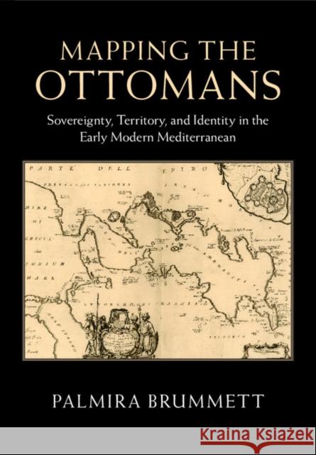 |
Mapping the Ottomans: Sovereignty, Territory, and Identity in the Early Modern Mediterranean
ISBN: 9781107090774 / Angielski / Twarda / 398 str. Termin realizacji zamówienia: ok. 5-8 dni roboczych. Simple paradigms of Muslim-Christian confrontation and the rise of Europe in the seventeenth century do not suffice to explain the ways in which European mapping envisioned the 'Turks' in image and narrative. Rather, maps, travel accounts, compendia of knowledge, and other texts created a picture of the Ottoman Empire through a complex layering of history, ethnography, and eyewitness testimony, which juxtaposed current events to classical and biblical history; counted space in terms of peoples, routes, and fortresses; and used the land and seascapes of the map to assert ownership, declare...
Simple paradigms of Muslim-Christian confrontation and the rise of Europe in the seventeenth century do not suffice to explain the ways in which Europ...
|
cena:
204,60 |
 |
Mapping and Empire: Soldier-Engineers on the Southwestern Frontier
ISBN: 9780292726161 / Angielski / Miękka / 232 str. Termin realizacji zamówienia: ok. 5-8 dni roboczych. From the sixteenth through the mid-nineteenth centuries, Spain, then Mexico, and finally the United States took ownership of the land from the Gulf Coast of Texas and Mexico to the Pacific Coast of Alta and Baja California--today's American Southwest. Each country faced the challenge of holding on to territory that was poorly known and sparsely settled, and each responded by sending out military mapping expeditions to set boundaries and chart topographical features. All three countries recognized that turning terra incognita into clearly delineated political units was a key step in empire... From the sixteenth through the mid-nineteenth centuries, Spain, then Mexico, and finally the United States took ownership of the land from the Gulf... |
cena:
97,30 |
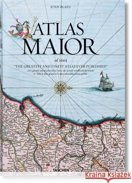 |
Joan Blaeu. Atlas Maior of 1665
ISBN: 9783836538039 / Angielski / Twarda / 512 str. Termin realizacji zamówienia: ok. 5-8 dni roboczych. World class: The finest atlas ever publishedSuperlatives tend to fail in face of Joan Blaeu s Atlas Maior, one of the most extravagant feats in the history of mapmaking. The original Latin edition, completed in 1665, was the largest and most expensive book to be published during the 17th century. Its 594 maps across 11 volumes spanned Arctica, Asia, Europe, and America. Its scale and ambition occupies such an important place in Dutch history that it is included in the Canon of Dutch History, an official survey of 50 individuals, creations, or events that chart the historical development of...
World class: The finest atlas ever publishedSuperlatives tend to fail in face of Joan Blaeu s Atlas Maior, one of the most extravagant feats in the hi...
|
cena:
382,20 |
 |
Placing Names: Enriching and Integrating Gazetteers
ISBN: 9780253022448 / Angielski / Twarda / 272 str. Termin realizacji zamówienia: ok. 5-8 dni roboczych. Well before the innovation of maps, gazetteers served as the main geographic referencing system for hundreds of years. Consisting of a specialized index of place names, gazetteers traditionally linked descriptive elements with topographic features and coordinates. Placing Names is inspired by that tradition of discursive place-making and by contemporary approaches to digital data management that have revived the gazetteer and guided its development in recent decades. Adopted by researchers in the Digital Humanities and Spatial Sciences, gazetteers provide a way to model the kind of complex... Well before the innovation of maps, gazetteers served as the main geographic referencing system for hundreds of years. Consisting of a specialized ... |
cena:
204,45 |
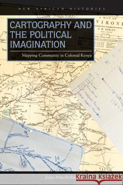 |
Cartography and the Political Imagination: Mapping Community in Colonial Kenya
ISBN: 9780821422090 / Angielski / Twarda / 356 str. Termin realizacji zamówienia: ok. 5-8 dni roboczych. After four decades of British rule in colonial Kenya, a previously unknown ethnic name - "Luyia" - appeared on the official census in 1948. The emergence of the Luyia represents a clear case of ethnic "invention." At the same time, current restrictive theories privileging ethnic homogeneity fail to explain this defiantly diverse ethnic project, which now comprises the second-largest ethnic group in Kenya. In Cartography and the Political Imagination, which encompasses social history, geography, and political science, Julie MacArthur unpacks Luyia origins. In so doing, she calls for a shift to...
After four decades of British rule in colonial Kenya, a previously unknown ethnic name - "Luyia" - appeared on the official census in 1948. The emerge...
|
cena:
326,14 |
 |
Cartography and the Political Imagination: Mapping Community in Colonial Kenya
ISBN: 9780821422106 / Angielski / Miękka / 356 str. Termin realizacji zamówienia: ok. 5-8 dni roboczych. With forced marriage, as with so many human rights issues, the sensationalized hides the mundane, and oversimplified popular discourses miss the range of experiences. In sub-Saharan Africa, the relationship between coercion and consent in marriage is a complex one that has changed over time and place, rendering impossible any single interpretation or explanation. The legal experts, anthropologists, historians, and development workers contributing to Marriage by Force? focus on the role that marriage plays in the mobilization of labor, the accumulation of wealth, and domination versus...
With forced marriage, as with so many human rights issues, the sensationalized hides the mundane, and oversimplified popular discourses miss the range...
|
cena:
141,12 |
 |
The Blue Mermaid and The Little Dolphin Book 2: Children's Books, Kids Books, Bedtime Stories For Kids, Kids Fantasy
ISBN: 9781536994070 / Angielski / Miękka / 32 str. Termin realizacji zamówienia: ok. 5-8 dni roboczych. Kindle Unlimited and Amazon Prime members can read this book for FREE
For many parents, curling up with a book for a bedtime story with their kid is a daily ritual. For others, it is the perfect time to spend time with their children after a busy day, and for some, it is something they should do but are not entirely sure why. Discover these benefits of bedtime stories for kids. Sharpen their brains Research shows that one of the greatest benefit of interacting with children, including reading to them stories, is that children learn a great deal of things- from improved logic... Kindle Unlimited and Amazon Prime members can read this book for FREE
For many parents, curling up with a book for a bedtime story with their kid ... |
cena:
32,07 |
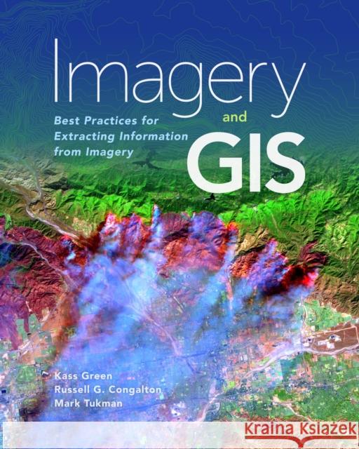 |
Imagery and GIS: Best Practices for Extracting Information from Imagery
ISBN: 9781589484542 / Angielski / Miękka / 418 str. Termin realizacji zamówienia: ok. 5-8 dni roboczych. The basis for most maps is imagery. Imagery and GIS: Best Practices for Extracting Information from Imagery shows how imagery can be integrated successfully into maps and GIS projects. Readers will learn how GIS can be used to derive value from imagery through enhanced visualizations and extraction and analysis of information. Plus readers will learn how to efficiently manage and serve imagery datasets. The authors share practical considerations and lessons learned from real world applications. With over 200 full-color illustrations, this reference guide helps readers use image...
The basis for most maps is imagery. Imagery and GIS: Best Practices for Extracting Information from Imagery shows how imagery can be integrat...
|
cena:
440,61 |
 |
European Handbook of Crowdsourced Geographic Information
ISBN: 9781909188792 / Angielski / Miękka / 470 str. Termin realizacji zamówienia: ok. 5-8 dni roboczych. This book focuses on the study of the remarkable new source of geographic information that has become available in the form of usergenerated content accessible over the Internet through mobile and Web applications. The exploitation, integration and application of these sources, termed volunteered geographic information (VGI) or crowdsourced geographic information (CGI), offer scientists an unprecedented opportunity to conduct research on a variety of topics at multiple scales and for diversified objectives. The Handbook is organized in five parts, addressing the fundamental... This book focuses on the study of the remarkable new source of geographic information that has become available in the form of usergenerated conten... |
cena:
278,20 |
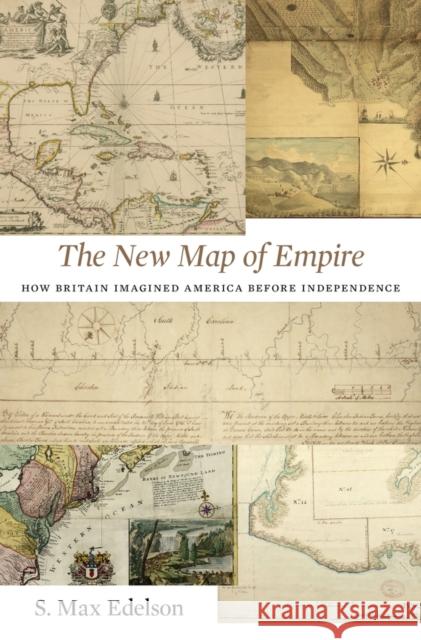 |
New Map of Empire: How Britain Imagined America Before Independence
ISBN: 9780674972117 / Angielski / Twarda / 480 str. Termin realizacji zamówienia: ok. 5-8 dni roboczych. After the Treaty of Paris ended the Seven Years' War in 1763, British America stretched from Hudson Bay to the Florida Keys, from the Atlantic coast to the Mississippi River, and across new islands in the West Indies. To better rule these vast dominions, Britain set out to map its new territories with unprecedented rigor and precision. Max Edelson's The New Map of Empire pictures the contested geography of the British Atlantic world and offers new explanations of the causes and consequences of Britain's imperial ambitions in the generation before the American Revolution. Under... After the Treaty of Paris ended the Seven Years' War in 1763, British America stretched from Hudson Bay to the Florida Keys, from the Atlantic coas... |
cena:
160,52 |
 |
New Lines: Critical GIS and the Trouble of the Map
ISBN: 9780816698523 / Angielski / Twarda / 224 str. Termin realizacji zamówienia: ok. 5-8 dni roboczych. Critical GIS and the Trouble of the Map.
Critical GIS and the Trouble of the Map.
|
cena:
404,03 |
 |
New Lines: Critical GIS and the Trouble of the Map
ISBN: 9780816698530 / Angielski / Miękka / 224 str. Termin realizacji zamówienia: ok. 5-8 dni roboczych. Critical GIS and the Trouble of the Map.
Critical GIS and the Trouble of the Map.
|
cena:
107,05 |
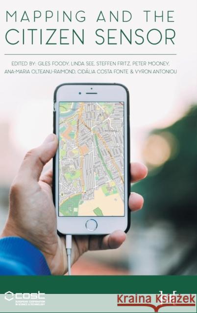 |
Mapping and the Citizen Sensor
ISBN: 9781911529163 / Angielski / Twarda / 398 str. Termin realizacji zamówienia: ok. 5-8 dni roboczych. |
cena:
252,51 |
 |
Portraying the Land: Hebrew Maps of the Land of Israel from Rashi to the Early 20th Century
ISBN: 9783110564532 / Angielski / Twarda / 351 str. Termin realizacji zamówienia: ok. 5-8 dni roboczych. |
cena:
638,68 |


