topmenu
Wyniki wyszukiwania:
wyszukanych pozycji: 6
 |
Elaboração da base topográfica de Canteras Tacarigua C.A, Carabobo
ISBN: 9786207083800 / Portugalski / Miękka / 64 str. Termin realizacji zamówienia: ok. 10-14 dni roboczych. |
cena:
178,47 |
 |
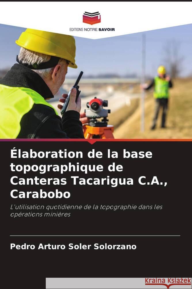
Élaboration de la base topographique de Canteras Tacarigua C.A., Carabobo
ISBN: 9786207083770 / Francuski / Miękka / 64 str. Termin realizacji zamówienia: ok. 10-14 dni roboczych. L'avancement des travaux miniers de l'entreprise Canteras Tacarigua C.A. a fait que la base topographique utilisée est obsolète, par conséquent, le terrain n'est pas représenté de manière adéquate, ce qui génère une plus grande incertitude dans les calculs et les interprétations qui en découlent. Pour cette raison, il a été proposé d'élaborer une base topographique à l'aide de méthodes géodésiques et de post-traitement du système de positionnement par satellite (GPS) dans le centre d'exploitation de Canteras Tacarigua, secteur Mar Azul, municipalité de Puerto Cabello,...
L'avancement des travaux miniers de l'entreprise Canteras Tacarigua C.A. a fait que la base topographique utilisée est obsolète, par conséquent, le...
|
cena:
178,47 |
 |
Elaboración de base topográfica de Canteras Tacarigua C.A, Carabobo : El uso en el día a día de la topografía en las operaciones mineras
ISBN: 9786200059451 / Hiszpański Termin realizacji zamówienia: ok. 10-14 dni roboczych. |
cena:
178,47 |
 |
Elaborazione della base topografica di Canteras Tacarigua C.A, Carabobo
ISBN: 9786207083794 / Włoski / Miękka / 64 str. Termin realizacji zamówienia: ok. 10-14 dni roboczych. |
cena:
178,47 |
 |
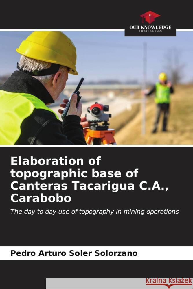
Elaboration of topographic base of Canteras Tacarigua C.A., Carabobo
ISBN: 9786207083787 / Angielski / Miękka / 64 str. Termin realizacji zamówienia: ok. 10-14 dni roboczych. The progress of the mining works of Canteras Tacarigua C.A. has caused that the topographic base used is outdated, therefore, the terrain is not adequately represented, generating greater uncertainty in the calculations and interpretations made with it, for this reason, it was proposed to develop a topographic base with the use of geodetic satellite positioning system (GPS) and post-processing methods in the center of operations of Canteras Tacarigua, Mar Azul sector, Puerto Cabello municipality, Carabobo state.
The progress of the mining works of Canteras Tacarigua C.A. has caused that the topographic base used is outdated, therefore, the terrain is not adequ...
|
cena:
178,47 |
 |
Ausarbeitung der topografischen Grundlage von Canteras Tacarigua C.A, Carabobo
ISBN: 9786207083763 / Niemiecki / Miękka / 64 str. Termin realizacji zamówienia: ok. 10-14 dni roboczych. Der Fortschritt der Bergbauarbeiten des Unternehmens Canteras Tacarigua C.A. hat dazu geführt, dass die verwendete topografische Grundlage veraltet ist, so dass das Gelände nicht angemessen dargestellt wird, was zu größeren Unsicherheiten bei den damit durchgeführten Berechnungen und Interpretationen führt. Aus diesem Grund wurde vorgeschlagen, eine topografische Grundlage mit Hilfe von geodätischen und nachbearbeitenden Methoden des Satellitenpositionierungssystems (GPS) im Betriebszentrum von Canteras Tacarigua, Sektor Mar Azul, Gemeinde Puerto Cabello, Bundesstaat Carabobo, zu...
Der Fortschritt der Bergbauarbeiten des Unternehmens Canteras Tacarigua C.A. hat dazu geführt, dass die verwendete topografische Grundlage veraltet i...
|
cena:
178,47 |


