Wyniki wyszukiwania:
wyszukanych pozycji: 35
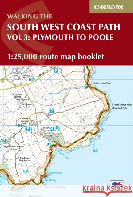 |
South West Coast Path Map Booklet - Vol 3: Plymouth to Poole: 1:25,000 OS Route Mapping
ISBN: 9781786312006 / Angielski / Miękka / 2023 / 112 str. Termin realizacji zamówienia: ok. 8-10 dni roboczych. |
cena:
65,17 |
 |
15 Short Walks Lake District - Coniston and Langdale
ISBN: 9781786311979 / Angielski / Miękka / 2024 / 96 str. Termin realizacji zamówienia: ok. 8-10 dni roboczych. |
cena:
50,07 |
 |
Walking the Pennine Way: NATIONAL TRAIL - From Edale to Kirk Yetholm
ISBN: 9781786311313 / Angielski / Miękka / 2025 / 240 str. Termin realizacji zamówienia: ok. 8-10 dni roboczych. |
cena:
90,33 |
 |
Walking on Gran Canaria: 45 day walks including five days on the GR131 coast-to-coast route
ISBN: 9781852848545 / Angielski / Miękka / 2020 / 240 str. Termin realizacji zamówienia: ok. 8-10 dni roboczych. |
cena:
90,33 |
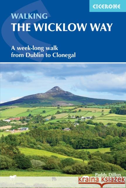 |
Walking the Wicklow Way: A week-long walk from Dublin to Clonegal
ISBN: 9781786310507 / Angielski / Miękka / 2024 / 120 str. Termin realizacji zamówienia: ok. 8-10 dni roboczych. |
cena:
75,24 |
 |
Walking the South West Coast Path: National Trail From Minehead to South Haven Point
ISBN: 9781786313164 / Angielski / Miękka / 15-03-2026 / 352 str. Książka dostępna od: 15-03-2026 |
|
Planowany termin premiery książki: 15-03-2026
Książkę można już zamówić z rabatem 5% |
|
90,60 |
 |
Walking on Tenerife: 45 walks including El Teide and GR 131
ISBN: 9781786310699 / Angielski / Miękka / 2023 / 256 str. Termin realizacji zamówienia: ok. 8-10 dni roboczych. |
cena:
90,33 |
 |
Walking on Malta: 33 walks on the Mediterranean islands of Malta, Gozo and Comino
ISBN: 9781852848224 / Angielski / Miękka / 2016 / 240 str. Termin realizacji zamówienia: ok. 8-10 dni roboczych. This guidebook describes 33 walks on Malta and its neighbouring islands of Gozo and Comino. Walks generally range from 3 to 17 km, and include Valetta, heritage trails, coastal walks and explorations inland, including the 30km 'Victoria Lines' route between Mgarr and Bahar ic-Caghaq. Malta offers year-round walking.
This guidebook describes 33 walks on Malta and its neighbouring islands of Gozo and Comino. Walks generally range from 3 to 17 km, and include Valetta...
|
cena:
75,24 |
 |
Walking on Guernsey: 25 routes including the Guernsey Coastal Walk, Alderney, Sark and Herm
ISBN: 9781786311306 / Angielski / Miękka / 2023 / 192 str. Termin realizacji zamówienia: ok. 8-10 dni roboczych. |
cena:
75,24 |
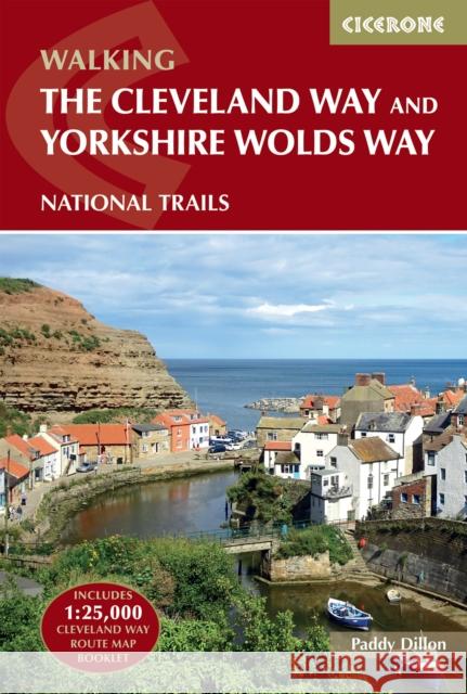 |
The Cleveland Way and the Yorkshire Wolds Way: NATIONAL TRAILS: The North York Moors, Yorkshire Wolds and Yorkshire Coast
ISBN: 9781786312211 / Angielski / Miękka / 2024 / 192 str. Termin realizacji zamówienia: ok. 8-10 dni roboczych. |
cena:
90,33 |
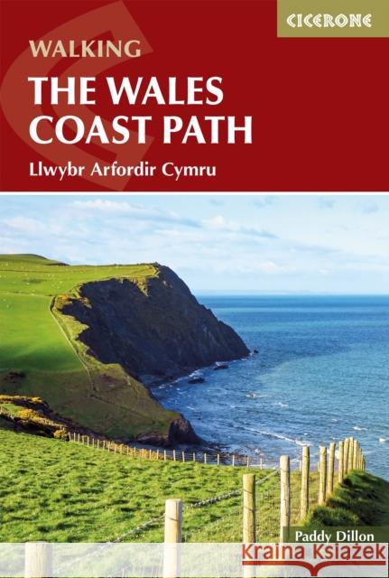 |
Walking the Wales Coast Path: Llwybr Arfordir Cymru
ISBN: 9781786312464 / Angielski / Miękka / 2026 / 368 str. Termin realizacji zamówienia: ok. 8-10 dni roboczych. |
cena:
100,40 |
 |
Trekking in the Canary Islands: The GR131 island-hopping route
ISBN: 9781852847654 / Angielski / Miękka / 2020 / 272 str. Termin realizacji zamówienia: ok. 8-10 dni roboczych. |
cena:
85,30 |
 |
Walking the Great Glen Way: Fort William to Inverness Two-way trail guide
ISBN: 9781786311276 / Angielski / Miękka / 2026 / 192 str. Termin realizacji zamówienia: ok. 8-10 dni roboczych. |
cena:
90,33 |
 |
Walking the South West Coast Path: National Trail From Minehead to South Haven Point
ISBN: 9781786310682 / Angielski / Miękka / 2021 / 288 str. Termin realizacji zamówienia: ok. 8-10 dni roboczych. |
cena:
90,33 |
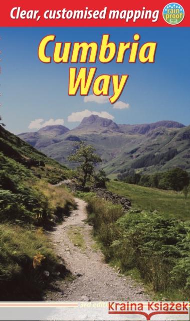 |
Cumbria Way
ISBN: 9781913817299 / Angielski / Miękka / 2025 / 72 str. Termin realizacji zamówienia: ok. 8-10 dni roboczych. |
cena:
80,47 |
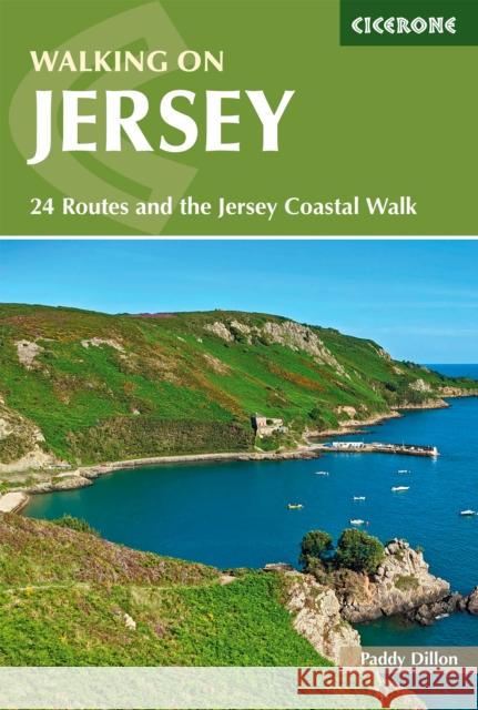 |
Walking on Jersey: 24 routes and the Jersey Coastal Walk
ISBN: 9781786311030 / Angielski / Miękka / 2021 / 192 str. Termin realizacji zamówienia: ok. 8-10 dni roboczych. |
cena:
75,24 |
 |
The National Trails: 19 Long-Distance Routes through England, Scotland and Wales
ISBN: 9781852847883 / Angielski / Miękka / 2016 / 272 str. Termin realizacji zamówienia: ok. 8-10 dni roboczych. National Trails were established as part of the post-war programme to keep areas of Britain 'special' and to protect them from development. The first such route, the Pennine Way, opened in 1965, and since then another 14 have been designated in England and Wales, with a further 4 in Scotland.Together, the National Trails cover well over 5000 kilometres (3100 miles), each one with unique qualities which explore the rich, scenic and historic countryside of Britain. Even the most dedicated long-distance walker would take over 200 days to walk them all, but most are happy to explore them one...
National Trails were established as part of the post-war programme to keep areas of Britain 'special' and to protect them from development. The first ...
|
cena:
95,37 |
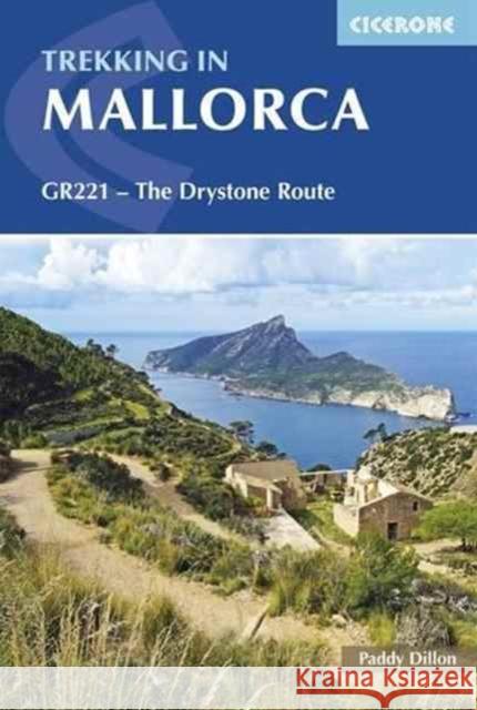 |
Trekking in Mallorca: GR221 - The Drystone Route through the Serra de Tramuntana
ISBN: 9781852848507 / Angielski / Miękka / 2017 / 216 str. Termin realizacji zamówienia: ok. 8-10 dni roboczych. This guidebook describes the GR221, a 140km (87 mile) long-distance trail through northwestern Mallorca, from Port d'Andratx to Pollenca. Also known as the 'Ruta de Pedra en Sec' ('the Drystone Route'), the GR221 is a celebration of Mallorca's limestone heritage, taking in many historic drystone structures as it traverses the rocky peaks of the Serra de Tramuntana. Following old stone-paved paths and mule trails, it showcases the region's beautiful landscape of mountains, forests and cultivated terraces, as well as its spectacular coastline. The GR221 can be hiked in 1-2 weeks,... This guidebook describes the GR221, a 140km (87 mile) long-distance trail through northwestern Mallorca, from Port d'Andratx to Pollenca. Also know... |
cena:
95,37 |
 |
Walking in County Durham: 40 walking routes exploring Pennine moors, river valleys and coastal paths
ISBN: 9781786311375 / Angielski / Miękka / 2022 / 200 str. Termin realizacji zamówienia: ok. 8-10 dni roboczych. |
cena:
75,24 |
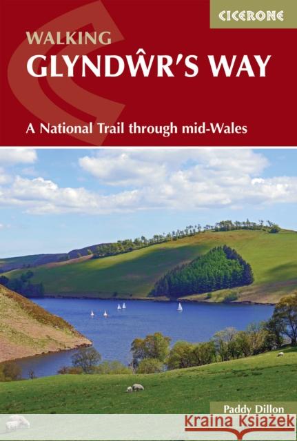 |
Walking Glyndwr's Way: A National Trail through mid-Wales
ISBN: 9781786311290 / Angielski / Miękka / 2024 / 176 str. Termin realizacji zamówienia: ok. 8-10 dni roboczych. |
cena:
85,30 |


