topmenu
Wyniki wyszukiwania:
wyszukanych pozycji: 5
 |
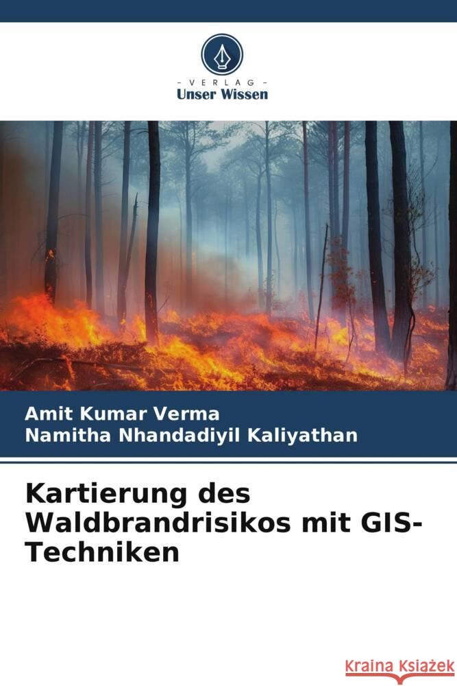
Kartierung des Waldbrandrisikos mit GIS-Techniken
ISBN: 9786206301417 / Niemiecki / Miękka / 92 str. Termin realizacji zamówienia: ok. 10-14 dni roboczych. In diesem Buch haben wir Informationen über die Ermittlung von Waldbrandrisikogebieten durch die Analyse historischer Brandfälle und einflussreicher biophysikalischer Parameter, die für Waldbrände in einer bestimmten Landschaft verantwortlich sind, mit Hilfe von GIS-Techniken bereitgestellt. DieWaldbrandrisikogebiete wurden durch die Zuweisung subjektiver Gewichte zu den Klassen aller Parameter entsprechend ihrer Brandempfindlichkeit oder ihrer brandauslösenden Fähigkeit abgegrenzt. Es wurden zwei Kategorien brandempfindlicher Regionen ermittelt, nämlich die empfindlichsten und die...
In diesem Buch haben wir Informationen über die Ermittlung von Waldbrandrisikogebieten durch die Analyse historischer Brandfälle und einflussreicher...
|
cena:
197,75 zł |
 |
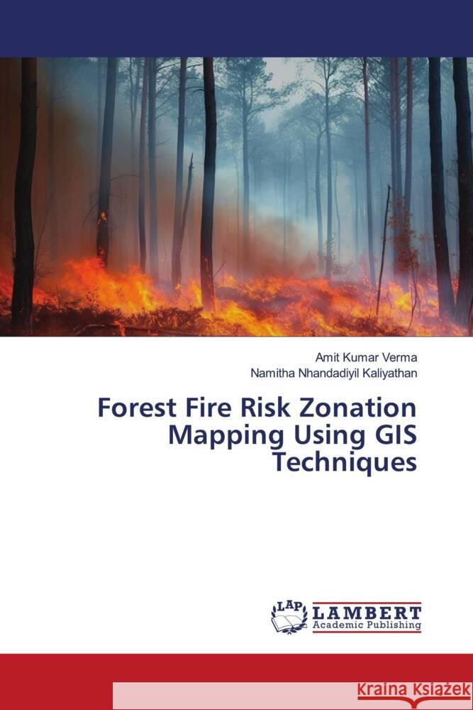
Forest Fire Risk Zonation Mapping Using GIS Techniques
ISBN: 9786206150503 / Angielski / Miękka / 88 str. Termin realizacji zamówienia: ok. 10-14 dni roboczych. In this book we have provided information on how to identify forest fire risk zones by analyzing historical fire incidences along with influencive biophysical parameters responsible for forest fire for a particular landscape using GIS techniques. Forest fire risk zones were delineated by assigning subjective weights to the classes of all the parameters according to their sensitivity to fire or their fire-inducing capability. Two categories of fire sensitive regions such as most sensitive and sensitive fire intensity zones were identified. The result shows that almost 20% of the study area was...
In this book we have provided information on how to identify forest fire risk zones by analyzing historical fire incidences along with influencive bio...
|
cena:
197,75 zł |
 |
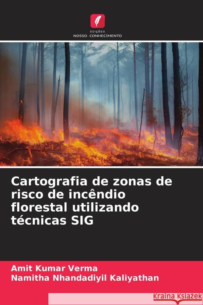
Cartografia de zonas de risco de incêndio florestal utilizando técnicas SIG
ISBN: 9786206301462 / Portugalski / Miękka / 92 str. Termin realizacji zamówienia: ok. 10-14 dni roboczych. |
cena:
197,75 zł |
 |
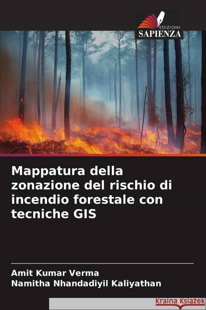
Mappatura della zonazione del rischio di incendio forestale con tecniche GIS
ISBN: 9786206301455 / Włoski / Miękka / 92 str. Termin realizacji zamówienia: ok. 10-14 dni roboczych. |
cena:
197,75 zł |
 |
Cartographie du zonage du risque d'incendie de forêt à l'aide de techniques SIG
ISBN: 9786206301431 / Francuski / Miękka / 92 str. Termin realizacji zamówienia: ok. 10-14 dni roboczych. Dans ce livre, nous avons fourni des informations sur la manière d'identifier les zones à risque d'incendie de forêt en analysant les incidences historiques des incendies ainsi que les paramètres biophysiques influents responsables des incendies de forêt pour un paysage particulier à l'aide de techniques SIG. Leszones à risque d'incendie de forêt ont été délimitées en attribuant des pondérations subjectives aux classes de tous les paramètres en fonction de leur sensibilité au feu ou de leur capacité à provoquer des incendies. Deux catégories de régions sensibles au feu ont...
Dans ce livre, nous avons fourni des informations sur la manière d'identifier les zones à risque d'incendie de forêt en analysant les incidences hi...
|
cena:
197,75 zł |


