Wyniki wyszukiwania:
wyszukanych pozycji: 3
 |
A Message Worth Dying For
ISBN: 9781938624810 / Angielski / Miękka / 2016 / 240 str. Termin realizacji zamówienia: ok. 16-18 dni roboczych. Pastor Michael and Diane Meagher released their youngest child to attend Bible College in 1996, and boarded a jetliner to begin their new lives as independent missionaries among an un-evangelized tribe in the bleakest, most unforgiving wilderness on earth. They had two dollars in their pockets, two donated airline tickets . . . and one indescribably powerful God who had called and prepared them to reach precious lost souls in north-central Siberia, Russia. They were compelled by hearts flaming with the compassion He had instilled in them and a shared faith forged in the crucible of... Pastor Michael and Diane Meagher released their youngest child to attend Bible College in 1996, and boarded a jetliner to begin their new lives as ... |
cena:
69,02 |
 |
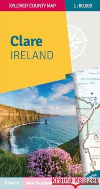
The Xploreit Map of County Clare Ireland
ISBN: 9781738413607 / Angielski / Mapa / 2024 / 2 str. Termin realizacji zamówienia: ok. 8-10 dni roboczych. This Xploreit map of County Clare will help you discover its ancient megalithic tombs, imposing castles, sparkling lakes, golden beaches, cycle routes, local walks and the many charming towns and villages dotted around the county. Highlights include Loop Head, The Cliffs of Moher and Doolin, a gateway to the unique limestone pavement of The Burren.
This Xploreit map of County Clare will help you discover its ancient megalithic tombs, imposing castles, sparkling lakes, golden beaches, cycle routes...
|
cena:
85,50 |
 |
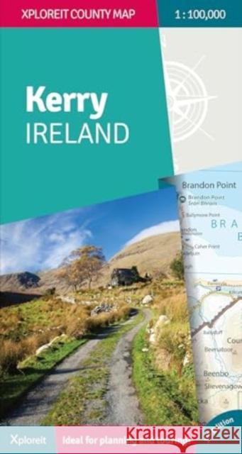
The Xploreit Map of County Kerry Ireland
ISBN: 9781738413638 / Angielski / Mapa / 2024 / 2 str. Termin realizacji zamówienia: ok. 8-10 dni roboczych. This exciting new edition of Xploreit's popular map of County Kerry will guide you to the best beaches, heritage sites, cycle routes, local marked walks and other attractions in 'The Kingdom'. It includes many new Kerry gems along with original stalwarts such as Killarney National Park, The Dingle Peninsula and The Skellig Islands.
This exciting new edition of Xploreit's popular map of County Kerry will guide you to the best beaches, heritage sites, cycle routes, local marked wal...
|
cena:
85,50 |


