Wyniki wyszukiwania:
wyszukanych pozycji: 14
 |
Matlab(r) and Design Recipes for Earth Sciences: How to Collect, Process and Present Geoscientific Information
ISBN: 9783642325434 / Angielski / Twarda / 2012 / 292 str. Termin realizacji zamówienia: ok. 10-14 dni roboczych. The overall aim of the book is to introduce students to the typical course followed by a data analysis project in earth sciences. A project usually involves searching relevant literature, reviewing and ranking published books and journal articles, extracting relevant information from the literature in the form of text, data, or graphs, searching and processing the relevant original data using MATLAB, and compiling and presenting the results as posters, abstracts, and oral presentations using graphics design software. The text of this book includes numerous examples on the use of internet... The overall aim of the book is to introduce students to the typical course followed by a data analysis project in earth sciences. A project usually... |
cena:
254,57 |
 |
Collecting, Processing and Presenting Geoscientific Information: Matlab(r) and Design Recipes for Earth Sciences
ISBN: 9783662585726 / Angielski / Miękka / 2019 / 274 str. Termin realizacji zamówienia: ok. 16-18 dni roboczych. |
cena:
281,76 |
 |
Collecting, Processing and Presenting Geoscientific Information: Matlab(r) and Design Recipes for Earth Sciences
ISBN: 9783662562024 / Angielski / Twarda / 2018 / 274 str. Termin realizacji zamówienia: ok. 16-18 dni roboczych. This volume introduces students to each phase of a typical data analysis project in the earth sciences, from preliminary research through data processing in MATLAB to presenting the results. It features numerous examples and tips on using internet resources.
This volume introduces students to each phase of a typical data analysis project in the earth sciences, from preliminary research through data process...
|
cena:
402,53 |
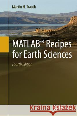 |
Matlab(r) Recipes for Earth Sciences
ISBN: 9783662500330 / Angielski / Miękka / 2016 / 427 str. Termin realizacji zamówienia: ok. 16-18 dni roboczych. MATLAB (R) is used for a wide range of applications in geosciences, such as image processing in remote sensing, the generation and processing of digital elevation models and the analysis of time series.
MATLAB (R) is used for a wide range of applications in geosciences, such as image processing in remote sensing, the generation and processing of digit...
|
cena:
229,43 |
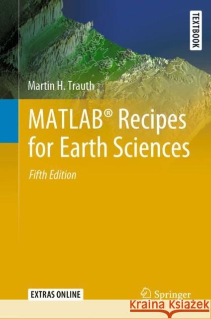 |
Matlab(r) Recipes for Earth Sciences
ISBN: 9783030384401 / Angielski / Twarda / 2020 / 517 str. Termin realizacji zamówienia: ok. 16-18 dni roboczych. |
cena:
261,63 |
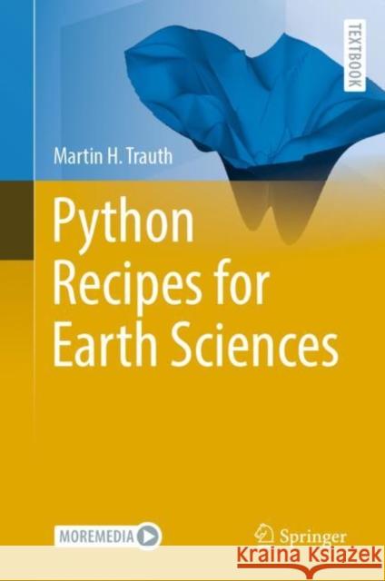 |
Python Recipes for Earth Sciences
ISBN: 9783031077180 / Angielski / Twarda / 2022 / 453 str. Termin realizacji zamówienia: ok. 16-18 dni roboczych. Python is used in a wide range of geoscientific applications, such as in processing images for remote sensing, in generating and processing digital elevation models, and in analyzing time series. This book introduces methods of data analysis in the geosciences using Python that include basic statistics for univariate, bivariate, and multivariate data sets, time series analysis, and signal processing; the analysis of spatial and directional data; and image analysis. The text includes numerous examples that demonstrate how Python can be used on data sets from the earth sciences. The...
Python is used in a wide range of geoscientific applications, such as in processing images for remote sensing, in generating and processing digital el...
|
cena:
342,14 |
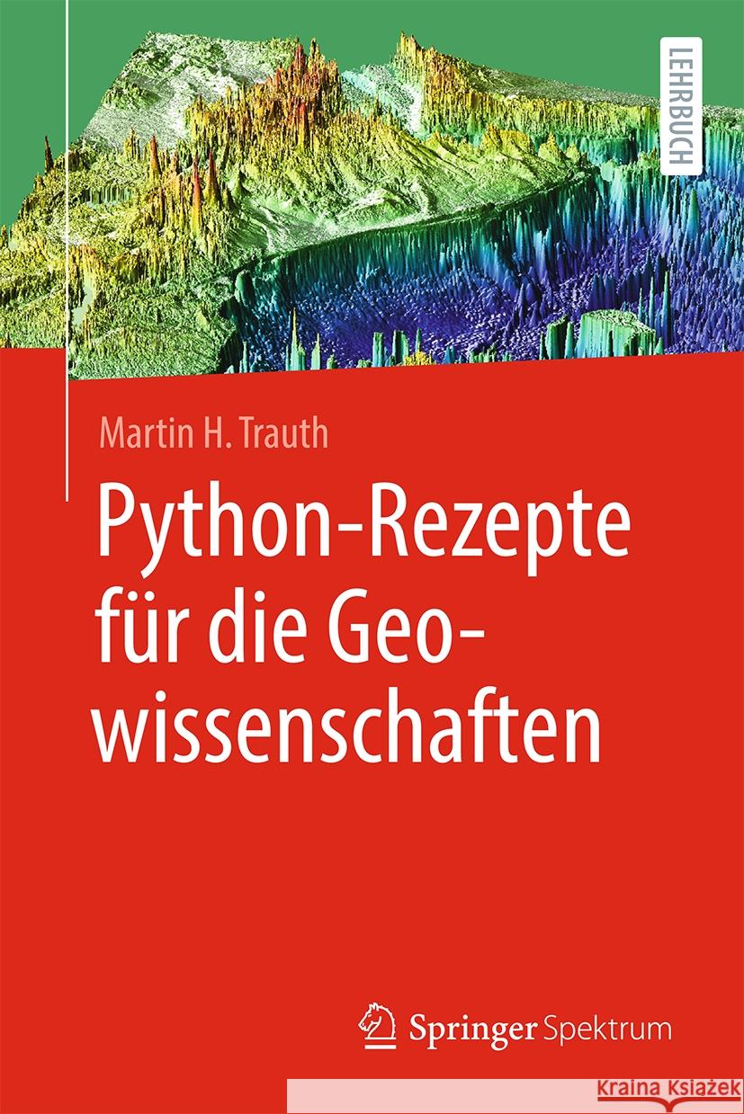 |
Python-Rezepte F?r Die Geowissenschaften
ISBN: 9783662681176 / Niemiecki Termin realizacji zamówienia: ok. 16-18 dni roboczych. |
cena:
225,72 |
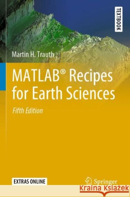 |
Matlab(r) Recipes for Earth Sciences
ISBN: 9783030384432 / Angielski / Miękka / 2021 Termin realizacji zamówienia: ok. 16-18 dni roboczych. MATLAB® is used in a wide range of geoscientific applications, e.g. for image processing in remote sensing, for creating and processing digital elevation models, and for analyzing time series. This book introduces readers to MATLAB-based data analysis methods used in the geosciences, including basic statistics for univariate, bivariate and multivariate datasets, time-series analysis, signal processing, the analysis of spatial and directional data, and image analysis. The revised and updated Fifth Edition includes seven new sections, and the majority of the chapters have... MATLAB® is used in a wide range of geoscientific applications, e.g. for image processing in remote sensing, for creating and processing digit... |
cena:
201,24 |
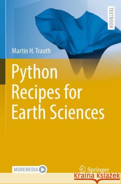 |
Python Recipes for Earth Sciences
ISBN: 9783031077210 / Miękka / 2023 / 453 str. Termin realizacji zamówienia: ok. 16-18 dni roboczych. |
cena:
241,50 |
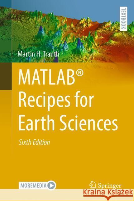 |
Matlab(r) Recipes for Earth Sciences
ISBN: 9783031579486 / Angielski Termin realizacji zamówienia: ok. 16-18 dni roboczych. |
cena:
523,30 |
 |
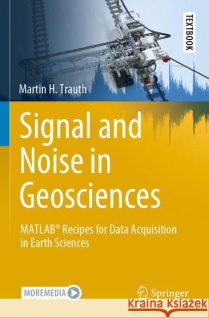
Signal and Noise in Geosciences: Matlab(r) Recipes for Data Acquisition in Earth Sciences
ISBN: 9783030749125 / Angielski / Twarda / 2021 / 317 str. Termin realizacji zamówienia: ok. 16-18 dni roboczych. |
cena:
241,50 |
 |
Signal and Noise in Geosciences: Matlab(r) Recipes for Data Acquisition in Earth Sciences
ISBN: 9783030749156 / Angielski / Miękka / 2022 Termin realizacji zamówienia: ok. 16-18 dni roboczych. This textbook introduces methods of geoscientific data acquisition using MATLAB in combination with inexpensive data acquisition hardware such as sensors in smartphones, sensors that come with the LEGO MINDSTORMS set, webcams with stereo microphones, and affordable spectral and thermal cameras. The text includes 35 exercises in data acquisition, such as using a smartphone to acquire stereo images of rock specimens from which to calculate point clouds, using visible and near-infrared spectral cameras to classify the minerals in rocks, using thermal cameras to differentiate between different... This textbook introduces methods of geoscientific data acquisition using MATLAB in combination with inexpensive data acquisition hardware such as s... |
cena:
241,50 |
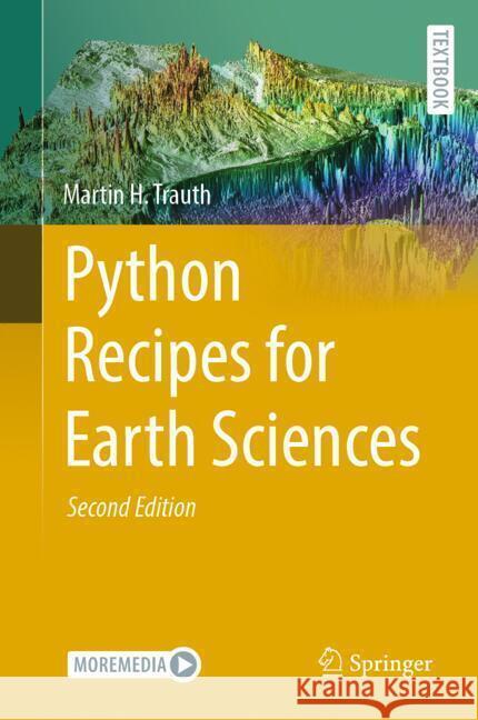 |
Python Recipes for Earth Sciences
ISBN: 9783031569050 / Angielski Termin realizacji zamówienia: ok. 16-18 dni roboczych. |
cena:
483,04 |
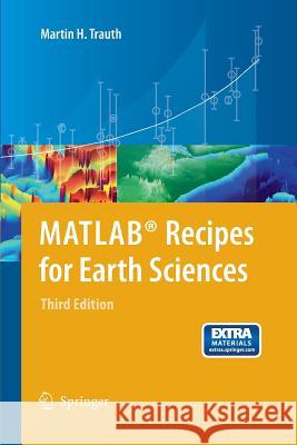 |
MATLAB® Recipes for Earth Sciences
ISBN: 9783642447167 / Angielski / Miękka / 2014 / 336 str. Termin realizacji zamówienia: ok. 16-18 dni roboczych. MATLAB(R) is used for a wide range of applications in geosciences, such as image processing in remote sensing, the generation and processing of digital elevation models, and the analysis of time series. This book introduces methods of data analysis in geosciences using MATLAB, such as basic statistics for univariate, bivariate and multivariate datasets, jackknife and bootstrap resampling schemes, processing of digital elevation models, gridding and contouring, geostatistics and kriging, processing and georeferencing of satellite images, digitizing from the screen, linear and nonlinear...
MATLAB(R) is used for a wide range of applications in geosciences, such as image processing in remote sensing, the generation and processing of digita...
|
cena:
241,34 |


