Wyniki wyszukiwania:
wyszukanych pozycji: 21
 |
Guide to Manchester 1927
ISBN: 9781844918201 / Angielski / Twarda / 2014 / 77 str. Termin realizacji zamówienia: ok. 8-10 dni roboczych. |
cena:
100,13 zł |
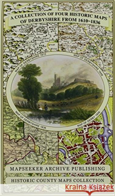 |
Derbyshire 1610 - 1836 - Fold Up Map that features a collection of Four Historic Maps, John Speed's County Map 1611, Johan Blaeu's County Map of 1648, Thomas Moules County Map of 1836 and Cole and Rop
ISBN: 9781844918348 / Angielski / Mapa, składana / 2014 / 1 str. Termin realizacji zamówienia: ok. 8-10 dni roboczych. |
cena:
100,13 zł |
 |
A Middlesex 1611 – 1836 – Fold Up Map that features a collection of Four Historic Maps, John Speed’s County Map 1611, Johan Blaeu’s County Map of 1648, Thomas Moules County Map of 1836 and a Map of th
ISBN: 9781844918454 / Angielski / Miękka / 2019 / 1 str. Termin realizacji zamówienia: ok. 8-10 dni roboczych. |
cena:
100,13 zł |
 |
Kent County 1611 - 1836 - Fold Up Map that features a collection of Four Historic Maps, John Speed's County Map 1611, Johan Blaeu's County Map of 1648, Thomas Moules County Map of 1836 and a Plan of C
ISBN: 9781844918317 / Mapa, składana / 2014 / 1 str. Termin realizacji zamówienia: ok. 8-10 dni roboczych. |
cena:
100,13 zł |
 |
Essex 1610 - 1836 - Fold Up Map that features a collection of Four Historic Maps, John Speed's County Map 1610, Johan Blaeu's County Map of 1648, Thomas Moules County Map of 1836 and a Plan of Colches
ISBN: 9781844918300 / Angielski / Mapa, składana / 2014 / 1 str. Termin realizacji zamówienia: ok. 8-10 dni roboczych. |
cena:
100,13 zł |
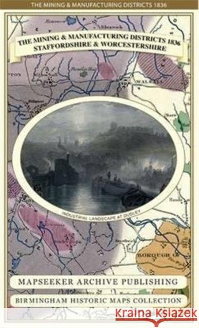 |
The Mining & Manufacturing Districts 1836 Staffordshire and Worcestershire
ISBN: 9781844918188 / Angielski / Mapa, składana / 2013 / 1 str. Termin realizacji zamówienia: ok. 8-10 dni roboczych. Detailed map of the Manufacturing District (Black Country) that shows the coal field and other mineral mining areas. Details Canal network. The map folds out to a large 1000m x 890mm size that is sharp and legible, a great resource for local history study.
Detailed map of the Manufacturing District (Black Country) that shows the coal field and other mineral mining areas. Details Canal network. The map fo...
|
cena:
100,13 zł |
 |
Somersetshire 1611 - 1836 - Fold Up Map that features a collection of Four Historic Maps, John Speed's County Map 1611, Johan Blaeu's County Map of 1648, Thomas Moules County Map of 1836 and a Plan of
ISBN: 9781844918355 / Mapa, płaska / 2014 / 1 str. Termin realizacji zamówienia: ok. 8-10 dni roboczych. |
cena:
100,13 zł |
 |
Cambridgeshire 1611 - 1836 - Fold Up Map that includes Four Historic Maps of Cambridgeshire, John Speed's County Map of 1611, Johan Blaeu's County Map of 1648, Thomas Moule's County Map of 1836 and Th
ISBN: 9781844918157 / Angielski / Mapa, składana / 2013 Termin realizacji zamówienia: ok. 8-10 dni roboczych. This folded map is an ideal souvenir for tourists to Cambridgeshire and also a valuable reference resource for local and family history research. It includes 4 Historic maps of Oxfordshire, John Speed 1611, Johan Blaue 1648, Thomas Moule 1836 and The City of Oxford 1836.The maps are very detailed and show the towns and villages from the period.
This folded map is an ideal souvenir for tourists to Cambridgeshire and also a valuable reference resource for local and family history research. It i...
|
cena:
100,13 zł |
 |
Manchester 1650 - 1876 - Fold Up Map featuring William Swire's Plan of Manchester and Environs 1824, Cole and Ropers Plan of Manchester and Salford 1807, Dawson's Reform Plan of 1831, A Birds Eye View
ISBN: 9781844918324 / Angielski / Mapa, składana / 2014 / 1 str. Termin realizacji zamówienia: ok. 8-10 dni roboczych. |
cena:
100,13 zł |
 |
Walmley Village 1882 - Old Map Supplied Rolled in a Clear Two Part Screw Presentation Tube - Print Size 45cm x 32cm
ISBN: 9781844917594 / Angielski Termin realizacji zamówienia: ok. 8-10 dni roboczych. |
cena:
65,07 zł |
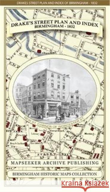 |
James Drake's Street Plan and Index of Birmingham 1832
ISBN: 9781844918133 / Angielski / Mapa, składana / 2013 / 1 str. Termin realizacji zamówienia: ok. 8-10 dni roboczych. Detailed Street Plan and Index of Birmingham from the late Georgian Period. The plan is surrounded both side with fascinating sketches of early 19th century Birmingham buldings.The map folds out to a large 1000mm x 890mm size that is sharp and legible, ideal for family history research.
Detailed Street Plan and Index of Birmingham from the late Georgian Period. The plan is surrounded both side with fascinating sketches of early 19th c...
|
cena:
100,13 zł |
 |
Thomas Hanson Town Plan of Birmingham 1778
ISBN: 9781844918096 / Angielski / Mapa, składana / 2013 / 1 str. Termin realizacji zamówienia: ok. 8-10 dni roboczych. This fascinating plan of Birmingham in 1778, just after the opening of Birmingham's first canal in 1769, will be a great resource for local historians, family historians and all those interested in the City of Birmingham. Digitally re-mastered in colour from the original, it captures this famous manufacturing town at a time of rapid expansion.
This fascinating plan of Birmingham in 1778, just after the opening of Birmingham's first canal in 1769, will be a great resource for local historians...
|
cena:
100,13 zł |
 |
Samuel Bradford Town Plan Birmingham 1750
ISBN: 9781844918089 / Angielski / Mapa, składana / 2013 / 1 str. Termin realizacji zamówienia: ok. 8-10 dni roboczych. This detailed plan of Birmingham in 1750, just before the beginnings of the Industrial Revolution, will be a great resource for local historians, family historians and all those interested in the City of Birmingham. Digitally re-mastered in colour, it details the many streets and public buildings from the "city of a thousand trades"
This detailed plan of Birmingham in 1750, just before the beginnings of the Industrial Revolution, will be a great resource for local historians, fami...
|
cena:
100,13 zł |
 |
United Nations Map of The World 1946
ISBN: 9781844918812 / Angielski / Miękka / 2019 / 1 str. Termin realizacji zamówienia: ok. 8-10 dni roboczych. |
cena:
100,13 zł |
 |
Historical Map of Scotland
ISBN: 9781844918515 / Angielski / Miękka / 2019 / 1 str. Termin realizacji zamówienia: ok. 8-10 dni roboczych. |
cena:
100,13 zł |
 |
Historical Map of London
ISBN: 9781844918539 / Angielski / Miękka / 2019 / 1 str. Termin realizacji zamówienia: ok. 8-10 dni roboczych. |
cena:
100,13 zł |
 |
A Shropshire 1611 - 1836 - Fold Up Map that features a collection of Four Historic Maps, John Speed's County Map 1611, Johan Blaeu's County Map of 1648, Thomas Moules County Map of 1836 and a Map of t
ISBN: 9781844918447 / Angielski / Miękka / 2019 / 1 str. Termin realizacji zamówienia: ok. 8-10 dni roboczych. |
cena:
100,13 zł |
 |
Railway History Map of Britain
ISBN: 9781844918805 / Angielski / Miękka / 2019 / 1 str. Termin realizacji zamówienia: ok. 8-10 dni roboczych. |
cena:
100,13 zł |
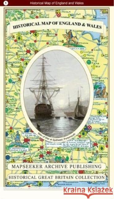 |
Historical Map of England and Wales
ISBN: 9781844918508 / Angielski / Miękka / 2019 / 1 str. Termin realizacji zamówienia: ok. 8-10 dni roboczych. |
cena:
100,13 zł |
 |
A County of Sussex 1611 - 1836 - Fold Up Map that features a collection of Four Historic Maps, John Speed's County Map 1611, Johan Blaeu's County Map of 1648, Thomas Moules County Map of 1836 and a Pl
ISBN: 9781844918270 / Angielski / Miękka / 2019 / 1 str. Termin realizacji zamówienia: ok. 8-10 dni roboczych. |
cena:
100,13 zł |


