topmenu
Wyniki wyszukiwania:
wyszukanych pozycji: 6
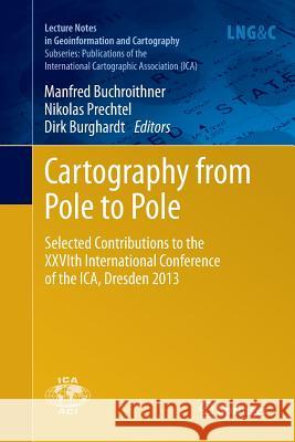 |
Cartography from Pole to Pole: Selected Contributions to the Xxvith International Conference of the Ica, Dresden 2013
ISBN: 9783662522196 / Angielski / Miękka / 2016 / 496 str. Termin realizacji zamówienia: ok. 22 dni roboczych (Dostawa w 2026 r.) These selected papers from the XXVIth Conference of the International Cartographic Association span the entire discipline, from questions of appropriate sources of geographic data to issues arising in the design and interactivity of cartographic products.
These selected papers from the XXVIth Conference of the International Cartographic Association span the entire discipline, from questions of appropria...
|
cena:
603,81 |
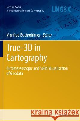 |
True-3D in Cartography: Autostereoscopic and Solid Visualisation of Geodata
ISBN: 9783642431883 / Angielski / Miękka / 2014 / 510 str. Termin realizacji zamówienia: ok. 22 dni roboczych (Dostawa w 2026 r.) As corroborated by the never-sagging and even increasing interest within the last decade, the intuitive attraction of "True 3D" in geodata presentation is well worth covering its current status and recent developments in a compendium like the present one. It covers most aspects of (auto-) stereoscopic representation techniques of both topographic and thematic geodata, be they haptic or not. Theory is treated as well as are many fields of concrete applications. Displays for big audiences and special single-user applications are presented, well-established technologies like classical manual...
As corroborated by the never-sagging and even increasing interest within the last decade, the intuitive attraction of "True 3D" in geodata presentatio...
|
cena:
805,10 |
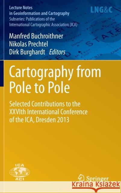 |
Cartography from Pole to Pole: Selected Contributions to the Xxvith International Conference of the Ica, Dresden 2013
ISBN: 9783642326172 / Angielski / Twarda / 2013 / 496 str. Termin realizacji zamówienia: ok. 22 dni roboczych (Dostawa w 2026 r.) These selected papers from the XXVIth Conference of the International Cartographic Association span the entire discipline, from questions of appropriate sources of geographic data to issues arising in the design and interactivity of cartographic products.
These selected papers from the XXVIth Conference of the International Cartographic Association span the entire discipline, from questions of appropria...
|
cena:
603,81 |
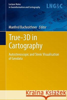 |
True-3D in Cartography: Autostereoscopic and Solid Visualisation of Geodata
ISBN: 9783642122712 / Angielski / Twarda / 2012 / 510 str. Termin realizacji zamówienia: ok. 22 dni roboczych (Dostawa w 2026 r.) This text focuses on visualization modules of GI software and systems, and tries to answer the specific question 'How commonly is stereoscopic visualization supported in GI systems?'.
This text focuses on visualization modules of GI software and systems, and tries to answer the specific question 'How commonly is stereoscopic visuali...
|
cena:
805,10 |
 |
Remote Sensing for Environmental Data in Albania: A Strategy for Integrated Management
ISBN: 9780792365280 / Angielski / Miękka / 2000 / 242 str. Termin realizacji zamówienia: ok. 22 dni roboczych (Dostawa w 2026 r.) A comprehensive source book for anybody interested in the potential of remote sensing and GIS technology for the Eastern Europe countries in transition, and less developed countries in general. Leading experts from Europe, Canada and the USA cover a wide variety of applications, from the provision of satellite data to land, water and atmosphere planning issues. The individual contributions present a nice balance between theory and proved application methods.
The book is suitable for a wide spectrum of readers, such as graduate students of the environmental and geo sciences, teachers and... A comprehensive source book for anybody interested in the potential of remote sensing and GIS technology for the Eastern Europe countries in transitio...
|
cena:
201,24 |
 |
Remote Sensing for Environmental Data in Albania: A Strategy for Integrated Management
ISBN: 9780792365273 / Angielski / Miękka / 2000 / 242 str. Termin realizacji zamówienia: ok. 22 dni roboczych (Dostawa w 2026 r.) A comprehensive source book for anybody interested in the potential of remote sensing and GIS technology for the Eastern Europe countries in transition, and less developed countries in general. Leading experts from Europe, Canada and the USA cover a wide variety of applications, from the provision of satellite data to land, water and atmosphere planning issues. The individual contributions present a nice balance between theory and proved application methods.
The book is suitable for a wide spectrum of readers, such as graduate students of the environmental and geo sciences, teachers and... A comprehensive source book for anybody interested in the potential of remote sensing and GIS technology for the Eastern Europe countries in transitio...
|
cena:
603,81 |


