Maps and Views of Derry, 1600-1914: A Catalogue » książka
topmenu


Maps and Views of Derry, 1600-1914: A Catalogue
ISBN-13: 9781904890072 / Angielski / Miękka / 2005 / 108 str.
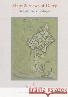
As part of a number of ancillary publications to the Irish Historic Towns Atlas, and written by W.S. Ferguson in the 1960s and 1970s, this book brings together a comprehensive catalogue of maps and views of Derry and its environs. The book includes the Phillips map from 1689, which is reproduced in full. This resource is a joint publication between the Royal Irish Academy and Derry City Council, and is part of a project to record the topographical development of a selection of Irish towns both large and small.


Czytaj nas na:
Zobacz: Księgarnia Czeska | Wydawnictwo Książkowe Klimaty | Mapa strony | Lista autorów
KrainaKsiazek.PL - Księgarnia Internetowa

KrainaKsiazek.PL - Księgarnia Internetowa

