Managing a Land in Motion: An Administrative History of Point Reyes National Seashore » książka
Managing a Land in Motion: An Administrative History of Point Reyes National Seashore
ISBN-13: 9781490555614 / Angielski / Miękka / 2013 / 428 str.
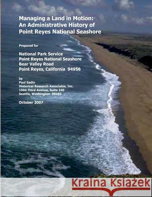
During the 1906 San Francisco earthquake, the Point Reyes Peninsula, forty miles farther north along the San Andreas Fault, shook loose from its temporary moorings to the California coastline and lurched to the northwest by some twenty feet. The powerful quake that terrorized the city also tore through the land and jarred the rural inhabitants of Point Reyes. It was another abrupt step in the peninsula's slow creep from southern to northern California, yielding a piece of land quite divergent from the California mainland to which it is now affixed. Although pressure along the San Andreas Fault continued to build for the remainder of the century, there were no other geologic events of a magnitude that could so drastically alter the land's surface. By contrast, human events since 1906 have significantly altered the peninsula's landscape. In the century following the earthquake, economic, cultural, and political forces gradually reshaped Point Reyes. Possibly the biggest tremor took place in 1962, when Congress created, and President John F. Kennedy signed into law, the Point Reyes National Seashore. At that juncture, the political geography of the land, as a new unit of the National Park Service (NPS), was about to change dramatically. This volume, Managing a Land in Motion: An Administrative History of Point Reyes National Seashore, traces, explains, and analyzes the ideas and events that produced the national seashore and transpired in the forty years that followed.
Zawartość książki może nie spełniać oczekiwań – reklamacje nie obejmują treści, która mogła nie być redakcyjnie ani merytorycznie opracowana.


