Characterization of the surface conditions of the Tunisian olive groves » książka
Characterization of the surface conditions of the Tunisian olive groves
ISBN-13: 9786205216828 / Angielski / Miękka / 92 str.
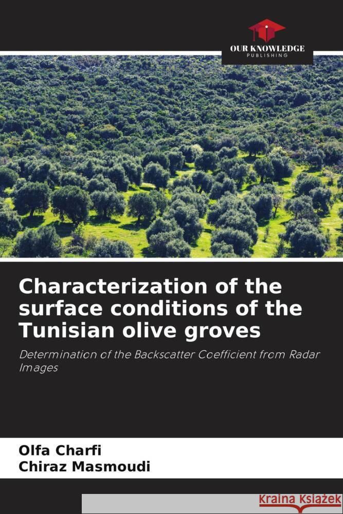
This work was carried out within the framework of the FAO AIDS Project (2019-2020) with the aim of using the potential of radar images to characterize the surface water states of plots of olive trees cultivated in Kairouan, Tunisia (35°40 '33N 10°5'E) through the determination of the backscatter coefficient (sodB). Sentinel-1A GRD data are preprocessed (radiometric and geometric calibrations, speckle filtration). The "shape files" which represent the polygons of the test plots are superimposed in layers on the radar images and converted into regions of interest (ROI) to extract the radar signal statistics under ENVI 4.7. The results show the performance of radar imagery in monitoring the water status of the surface soil. The correlations established between volumetric soil moisture and backscatter coefficients are positive for irrigated plots and negative for rainfed. They are highly significant for semi-intensive driving. This methodological approach developed in this case for the olive tree can be used for other situations with an appropriate choice of calibration parameters.


