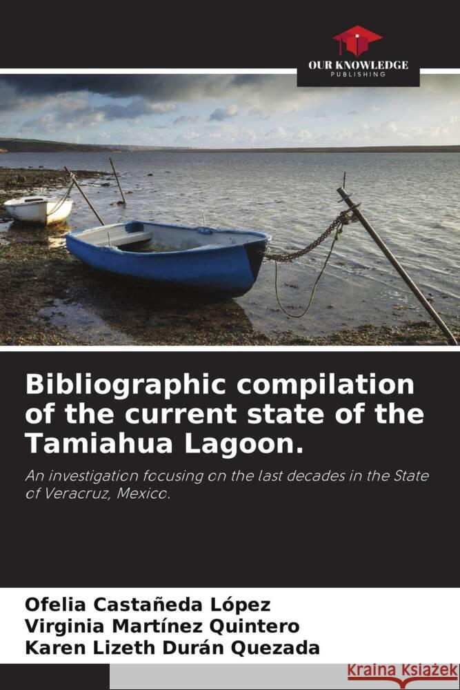
Bibliographic compilation of the current state of the Tamiahua Lagoon. » książka
Bibliographic compilation of the current state of the Tamiahua Lagoon.
ISBN-13: 9786205007440 / Angielski / Miękka / 76 str.
Coordinates 21° 06' north latitude and 97° 23' and 97° 46' west longitude; it is bordered to the north by the Pánuco River and to the south by the Tuxpan River, with an area of 88,000 Ha. Flooded depressions in the internal margins of the continental border, which is surrounded by terrestrial surfaces in its internal margins and protected from the sea by sandy barriers produced by currents and waves. Age of barrier formation: establishment of the present water level, within the last 5 thousand years; orientation axes parallel to the coast, typically very shallow, except in eroded channels, modified mainly by littoral processes such as hurricane or wind activity; terrigenous sedimentation. Typical coastal lagoon, low-relief coastal plain with intermediate to high energy. Triangularly oriented sandy barriers, with axes oriented outward from the beach relative to wave diffraction (islands, reefs, shoals) or rocky promontories; runoff absent or very localized; modified shape and bathymetry; typically low energy, except in tidal channels and during storm conditions; variable salinity. Climate: Aw1 (e) w''.


