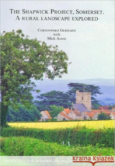
the shapwick project, somerset: a rural landscape explored » książka
the shapwick project, somerset: a rural landscape explored
ISBN-13: 9781905981861 / Angielski / Miękka / 2007 / 1048 str.
The Shapwick Project began in 1989 as a ten-year, multi-disciplinary landscape investigation of the evolution of early and late medieval settlement patterns. This volume sets out the methods used in the exploration of this wetland-edge landscape and summarises the long term micro-history of a community and its lands from early prehistory to the present day.
Shapwick was granted to the abbey at Glastonbury in the first half of the 8th century and, as a consequence, there are numerous later medieval surveys, demesne accounts and court rolls. Together with an unusually long sequence of post-medieval and modern maps, these sources illuminate themes as diverse as building history and farming practice. At the same time, aerial photography, fieldwalking, shovel-pitting and topographical survey create a picture of the distribution and date of archaeological monuments across the parish while garden bed collections and test pitting are used to evaluate the archaeology underlying the modern village. Other innovative techniques described here include large-scale geophysical survey and the geochemical techniques of heavy metal analysis together with detailed surveys of historic buildings, botany and hedgerow invertebrates. The results from these surveys are at least as important as the excavations undertaken at sites of prehistoric-to-19th-century date. Stratigraphies, chronologies and features are all detailed in this volume, with important collections of objects from prehistory to the end of the 19th century and accompanying specialist reports which illuminate environment and diet. Highlights include a combination of pollen analysis and lithic distributions which add significantly to our understanding of the context of prehistoric waterlogged trackways within the peat zone, and striking evidence for the intensification of settlement and land use in the later pre-Roman Iron Age and later Roman period.
The modern village was in existence by the 10th century when a dispersed population was apparently re-housed in a compact, nucleated village with open field systems to east and west and various models for this process are debated. Among the later medieval sites excavated are two manorial centres of Glastonbury Abbey, industrial evidence, and well-preserved palaeoenvironmental material. In the 18th and 19th centuries outlying farms were built and the housing stock transformed at the same time as parts of the village were emparked. This post-medieval and early modern evidence is given equal weight in the volume.


