» książki » Reference - Atlases, Gazetteers & Maps (see also Travel - Maps & Road Atlases)
Kategoria BISAC: Reference >> Atlases, Gazetteers & Maps (see also Travel - Maps & Road Atlases)
ilość książek w kategorii: 1852
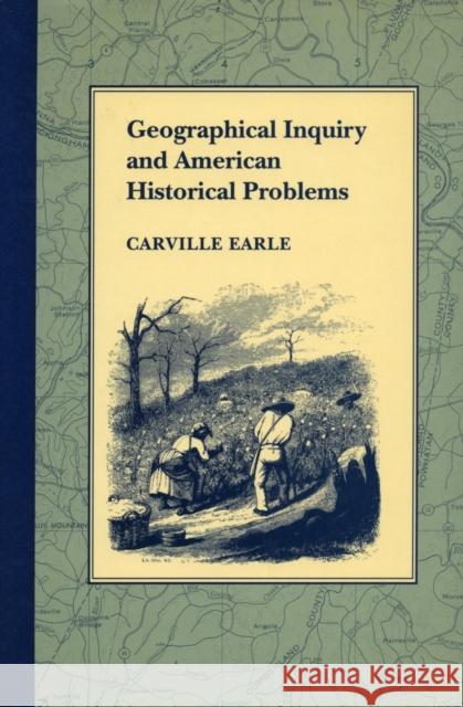 |
Geographical Inquiry and American Historical Problems
ISBN: 9780804715751 / Angielski / Twarda / 568 str. Termin realizacji zamówienia: ok. 5-8 dni roboczych. The twelve essays in this volume re-examine a handful of perennial problems in American history from a geographical point of view. From this perspective there emerges a series of reinterpretations of the central processes that defined the American experience, whether of colonization, of regional development and sectionalism, of slavery and freedom, of urbanization and industrialization, or of working-class history. The essays encompass the first three centuries of American history, beginning with the nightmarish world of disease and death that was early Virginia and ending with the melancholy...
The twelve essays in this volume re-examine a handful of perennial problems in American history from a geographical point of view. From this perspecti...
|
cena:
386,93 |
 |
Historical Atlas of Washington
ISBN: 9780806121086 / Angielski / Twarda / 210 str. Termin realizacji zamówienia: ok. 5-8 dni roboczych. In 77 maps and accompanying texts, this atlas presents the history of Washington state from prehistoric times to the present, Beginning with Washington's terrain climate, vegetation, and hydrography, it then displays and records the evolution of both Indian and white settlements, the development of the state's modern economy, and the progress of society and culture from Indian times to the present. Some of the maps in the atlas cover major historical events or specific periods; other show present-day patterns of activity and deal with the historical background in the accompanying... In 77 maps and accompanying texts, this atlas presents the history of Washington state from prehistoric times to the present, Beginning with Washin... |
cena:
122,40 |
 |
Historical Atlas of Texas
ISBN: 9780806123073 / Angielski / Miękka / 156 str. Termin realizacji zamówienia: ok. 5-8 dni roboczych. Texas, a land with a unique image, has remained for the most part within the American mainstream. In this historical atlas sixty-four maps, accompanied by brief interpretive essays, illustrate the most significant events and subject areas in Texas history and geography. Since the arrival of the first Europeans in 1528, six different nations have claimed sovereignty over the Lone Star state s diverse regions. Readers and scholars at all levels will enjoy learning from this atlas how Texas s native inhabitants and later arrivals responded to each other and to the state s varied terrain."
Texas, a land with a unique image, has remained for the most part within the American mainstream. In this historical atlas sixty-four maps, accompa... |
cena:
102,81 |
 |
Historical Atlas of Kansas, 2nd Edition
ISBN: 9780806124858 / Angielski / Miękka / 184 str. Termin realizacji zamówienia: ok. 5-8 dni roboczych. This second edition of Historical "Atlas of Kansas" has been updated from 1984 states-federal estimates. New and revised maps show the important growth in population centers in all parts of the state and the changes in congressional and judicial districts, railroads, airline routes, employment, petroleum and groundwater, agriculture, and colleges and universities. The text accompanying these maps has been updated also. A proper knowledge of the long and eventful history of Kansas requires an understanding of the state s geography. While the place called Kansas was originally the home of... This second edition of Historical "Atlas of Kansas" has been updated from 1984 states-federal estimates. New and revised maps show the important gr... |
cena:
102,81 |
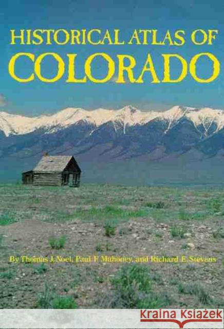 |
Historical Atlas of Colorado
ISBN: 9780806125916 / Angielski / Miękka / 192 str. Termin realizacji zamówienia: ok. 5-8 dni roboczych. This unique historical atlas will help you to comprehend quickly Colorado's geography and its fascinating past--from the prehistoric Indian cultures to the modern metropolises, from the Spanish and French explorers to the modern ski resorts. The full-page, clearly drawn maps and the lively text provide easy access to the essential information about the Highest State. Colorado's history has been played out on a spectacular landscape. The highest mountains of the continental divide cut the state in half with a two-mile-high barrier. This rocky obstacle long served as a tribal and... This unique historical atlas will help you to comprehend quickly Colorado's geography and its fascinating past--from the prehistoric Indian culture... |
cena:
117,50 |
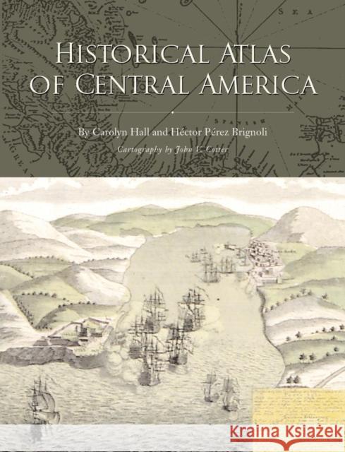 |
Historical Atlas of Central America
ISBN: 9780806130385 / Angielski / Miękka / 336 str. Termin realizacji zamówienia: ok. 5-8 dni roboczych. Central America has been a region of global importance since it was first explored by the Spanish early in the sixteenth century. Yet this mosaic of seven states, extending from Guatemala and Belize to Panama, remains one of the least known regions of Latin America. Drawing on more than fifty combined years of research and teaching in Central America, Carolyn Hall and Hector Perez Brignoli provide a new interpretation and an innovative synthesis of the region's history and culture in the Historical Atlas of Central America. The first two sections of the atlas review five centuries... Central America has been a region of global importance since it was first explored by the Spanish early in the sixteenth century. Yet this mosaic o... |
cena:
176,32 |
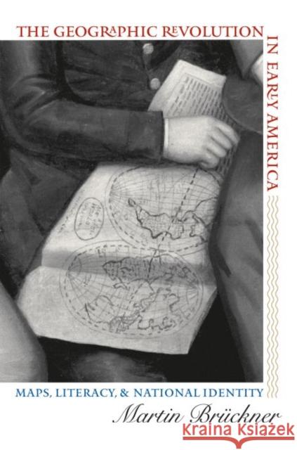 |
The Geographic Revolution in Early America: Maps, Literacy, and National Identity
ISBN: 9780807856727 / Angielski / Miękka / 296 str. Termin realizacji zamówienia: ok. 5-8 dni roboczych. The rapid rise in popularity of maps and geography handbooks in the eighteenth century ushered in a new geographic literacy among nonelite Americans. In a pathbreaking and richly illustrated examination of this transformation, Martin Bruckner argues that geographic literacy as it was played out in popular literary genres--written, for example, by William Byrd, George Washington, Thomas Jefferson, Royall Tyler, Charles Brockden Brown, Meriwether Lewis, and William Clark--significantly influenced the formation of identity in America from the 1680s to the 1820s.
Drawing on historical... The rapid rise in popularity of maps and geography handbooks in the eighteenth century ushered in a new geographic literacy among nonelite Americans. ...
|
cena:
156,72 |
![An Atlas of Maritime Florida: Roger C. Smith...[Et Al] An Atlas of Maritime Florida: Roger C. Smith...[Et Al] Roger C. Smith James J. Miller Sean M. Kelley 9780813015125 Florida Dept. of State](/9780813015125_atlas_of_maritime_florida.jpg) |
An Atlas of Maritime Florida: Roger C. Smith...[Et Al]
ISBN: 9780813015125 / Angielski / Miękka / 56 str. Termin realizacji zamówienia: ok. 5-8 dni roboczych. "Finally, a spending issue Democrats and Republicans can agree upon: Atlas of Florida is a great buy "--Lawton Chiles, Governor of the State of Florida
"The new Atlas of Florida skillfully chronicles Florida's emergence as a megastate. It is an invaluable resource for educators and business people who need the latest facts and figures about Florida's population, environment, economy, and political makeup. But, like the state itself, this book is not all business. . . . Turn to any page and you're bound to learn something new."--Jim Smith, Secretary of the State of... "Finally, a spending issue Democrats and Republicans can agree upon: Atlas of Florida is a great buy "--Lawton Chiles, Governor of the State of...
|
cena:
38,35 |
 |
Illustrated Atlas of the Himalaya
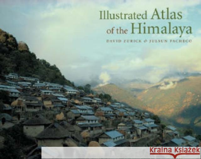
ISBN: 9780813123882 / Angielski / Twarda / 228 str. Termin realizacji zamówienia: ok. 5-8 dni roboczych. The Himalaya are world-renowned for their exquisite mountain scenery, ancient traditions, and diverse ethnic groups that tenaciously inhabit this harsh yet sublime landscape. Home to the world's highest peaks, including Mount Everest, and some of its deepest gorges, the region is a trove of biological and cultural diversity. Providing a panoramic overview of contemporary land and life in the Earth's highest mountains, the Illustrated Atlas of the Himalaya is the first full-color, comprehensive atlas of the geography, economics, politics, and culture of this spectacular area. Drawing from... The Himalaya are world-renowned for their exquisite mountain scenery, ancient traditions, and diverse ethnic groups that tenaciously inhabit this h... |
cena:
264,47 |
 |
Making Space: Revisioning the World, 1475-1600
ISBN: 9780815630234 / Angielski / Twarda / 216 str. Termin realizacji zamówienia: ok. 5-8 dni roboczych. In his latest work, John Rennie Short reveals how the spatial discourses of the sixteenth century formed a remarkable revolution that changed the way the world was represented. The cosmos was bound in a sphere; the world was gridded and plotted, the globe navigated, and the land surveyed. Spatial practices were codified, a spatial sensitivity was created and a cartographic literacy was established in the increasing use of maps and the creation of a cartographic language for new mappings of the world, state, and city. Short establishes that such spatial revisioning is connected to the...
In his latest work, John Rennie Short reveals how the spatial discourses of the sixteenth century formed a remarkable revolution that changed the way ...
|
cena:
102,81 |
 |
Latin American on File
ISBN: 9780816032259 / Angielski / Digital (on physical carrier) / 312 str. Termin realizacji zamówienia: ok. 5-8 dni roboczych. Maps, graphs, and charts show the demographics, industry, governments, physical features, economics, agriculture, and everyday life of the countries of Latin America, from Mexico and the Caribbean to the tip of South America.
Maps, graphs, and charts show the demographics, industry, governments, physical features, economics, agriculture, and everyday life of the countries o...
|
cena:
749,35 |
 |
Europe on File& #153;
ISBN: 9780816035083 / Angielski Termin realizacji zamówienia: ok. 5-8 dni roboczych. On File TM is our award-winning collection of visual reference materials. Each On File TM depicts complex subjects in a way that both engages and informs students and researchers. These flexible resources fit into every curriculum. -- Instructors can use the pages for handouts, overheads, posters, and testing. -- Students can use them as quick sources of information, to reference curriculum topics, or to supplement their essays and reports. -- On Files TM are available in either binder or electronic format. This two-volume resource deftly profiles an area that is in the process of redefining...
On File TM is our award-winning collection of visual reference materials. Each On File TM depicts complex subjects in a way that both engages and info...
|
cena:
749,35 |
 |
The Historical Atlas of American Crime
ISBN: 9780816048410 / Angielski / Twarda / 416 str. Termin realizacji zamówienia: ok. 5-8 dni roboczych. A geographic overview of the development of crime in America, from colonial times to the 21st century. Covering all varieties of crime, the book emphasizes cases which were the first of their kind, crimes peculiar to certain regions and those too infamous to be ignored.
A geographic overview of the development of crime in America, from colonial times to the 21st century. Covering all varieties of crime, the book empha...
|
cena:
308,55 |
 |
Atlas of the North American Indian
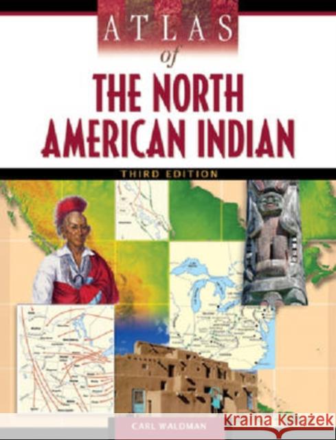
ISBN: 9780816068586 / Angielski / Twarda / 450 str. Termin realizacji zamówienia: ok. 5-8 dni roboczych. "Atlas of the North American Indian, Third Edition" chronicles the travel and experiences of Native Americans from the first voyage to North America to the present day. This new edition now features a bold full-color format and is bolstered by more than 120 full-color, detailed maps that cover important locations for American Indians, as well as highlighting their interactions with European colonists and other non-Native people. In addition, the updated text details the history, traditions, conflicts, land cessions, and contemporary ways of life for American Indians.This informative book is...
"Atlas of the North American Indian, Third Edition" chronicles the travel and experiences of Native Americans from the first voyage to North America t...
|
cena:
347,74 |
 |
Miniatlas of Millennium Development Goals: Building a Better World
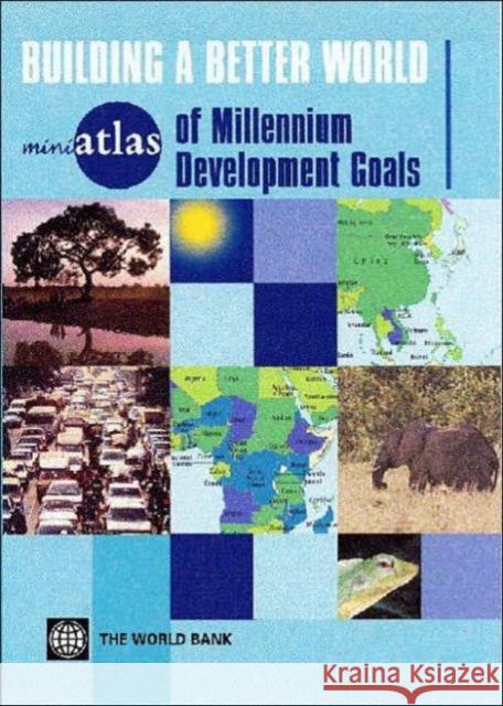
ISBN: 9780821361757 / Angielski / Twarda / 64 str. Termin realizacji zamówienia: ok. 5-8 dni roboczych. The greatest challenge of the 21st century is to provide every human being on the planet with a long, healthy, and fulfilling life, free of poverty and full of opportunities to participate in the life of their community. The Millennium Development Goals - signed by 189 countries in 2000 - set clear targets for reducing poverty and other sources of human deprivation and for promoting sustainable development. But how far are we towards meeting these goals? And what resources are needed to help those countries that are not on track? The third volume in the miniatlas series is an at-a-glance...
The greatest challenge of the 21st century is to provide every human being on the planet with a long, healthy, and fulfilling life, free of poverty an...
|
cena:
39,13 |
 |
Miniatlas of Human Security
ISBN: 9780821372210 / Angielski / Twarda / 66 str. Termin realizacji zamówienia: ok. 5-8 dni roboczych. This at-a-glance guide to global security provides a wealth of information on armed conflicts since 1946. It maps political violence, the links between poverty and conflict, assaults on human rights -- including the use of child soldiers -- and the causes of war and peace. Extraordinary changes have taken place since the end of the Cold War. Despite the escalating violence in Iraq, and the widening war in Darfur, there has been a decline in armed conflict worldwide. The number of battle-deaths, genocides and refugees has also decreased. Many of these changes can be attributed to international...
This at-a-glance guide to global security provides a wealth of information on armed conflicts since 1946. It maps political violence, the links betwee...
|
cena:
39,13 |
 |
Cartographic Mexico: A History of State Fixations and Fugitive Landscapes
ISBN: 9780822334057 / Angielski / Twarda / 300 str. Termin realizacji zamówienia: ok. 5-8 dni roboczych. In Cartographic Mexico, Raymond B. Craib analyzes the powerful role cartographic routines such as exploration, surveying, and mapmaking played in the creation of the modern Mexican state in the nineteenth and early twentieth centuries. Such routines were part of a federal obsession--or -state fixation---with determining and -fixing- geographic points, lines, and names in order to facilitate economic development and political administration. As well as analyzing the maps that resulted from such routines, Craib examines in close detail the processes that eventually generated them. Taking...
In Cartographic Mexico, Raymond B. Craib analyzes the powerful role cartographic routines such as exploration, surveying, and mapmaking played ...
|
cena:
568,13 |
 |
Cartographic Mexico: A History of State Fixations and Fugitive Landscapes
ISBN: 9780822334163 / Angielski / Miękka / 322 str. Termin realizacji zamówienia: ok. 5-8 dni roboczych. In Cartographic Mexico, Raymond B. Craib analyzes the powerful role cartographic routines such as exploration, surveying, and mapmaking played in the creation of the modern Mexican state in the nineteenth and early twentieth centuries. Such routines were part of a federal obsession--or -state fixation---with determining and -fixing- geographic points, lines, and names in order to facilitate economic development and political administration. As well as analyzing the maps that resulted from such routines, Craib examines in close detail the processes that eventually generated them. Taking...
In Cartographic Mexico, Raymond B. Craib analyzes the powerful role cartographic routines such as exploration, surveying, and mapmaking played ...
|
cena:
137,09 |
 |
Mapping and Imagination in the Great Basin: A Cartographic History
ISBN: 9780874176179 / Angielski / Miękka Termin realizacji zamówienia: ok. 5-8 dni roboczych. The Great Basin was the last region of continental North America to be explored and mapped, and it remained largely a mystery to European Americans until well into the nineteenth century. In Mapping and Imagination in the Great Basin, geographer-historian Richard Francaviglia shows how the Great Basin's gradual emergence from its "large cartographic silence" both paralleled the development of the sciences of surveying, geology, hydrology, and cartography, and reflected the changing geopolitical aspirations of the European colonial powers and the United States. Francaviglia's compelling,...
The Great Basin was the last region of continental North America to be explored and mapped, and it remained largely a mystery to European Americans un...
|
cena:
97,90 |
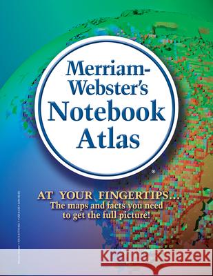 |
Merriam-Webster's Notebook Atlas
ISBN: 9780877796527 / Angielski / Miękka (mass market paperbound / 72 str. Termin realizacji zamówienia: ok. 5-8 dni roboczych. This practical quick-reference guide offers an up-to-date look at the places and physical features of the modern world. Put this essential reference into your three-ring binder and you'll be able to consult its richly detailed color maps wherever you go. The notebook-style reference includes dozens of detailed, full-color maps and an index to nearly 10,000 key locations around the world.
This practical quick-reference guide offers an up-to-date look at the places and physical features of the modern world. Put this essential reference i...
|
cena:
19,08 |


