The National Tree-List Layer » książka
The National Tree-List Layer
ISBN-13: 9781480144408 / Angielski / Miękka / 2012 / 32 str.
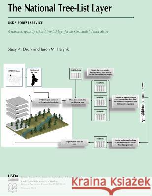
The National Tree-List Layer (NTLL) project used LANDFIRE map products to produce the first national tree-list map layer that represents tree populations at stand and regional levels. The NTLL was produced in a short time frame to address the needs of Fire and Aviation Management for a map layer that could be used as input for simulating fire-caused tree mortality across landscapes. Simulated tree mortality estimates using the NTLL as model input provided acceptable results when compared with tree mortality simulations using field-sampled tree attribute data. Our results indicate that fire managers can expect simulated tree-mortalities using the NTLL to predict fire-caused tree mortality as well as field-measured plot data, especially during extreme wildfire events. Decision makers can use tree mortality maps that are produced using the NTLL to develop and support decisions such as where to place fuels treatments or where to most effectively position fire suppression resources.
Zawartość książki może nie spełniać oczekiwań – reklamacje nie obejmują treści, która mogła nie być redakcyjnie ani merytorycznie opracowana.


