topmenu
Wyniki wyszukiwania:
wyszukanych pozycji: 7
 |
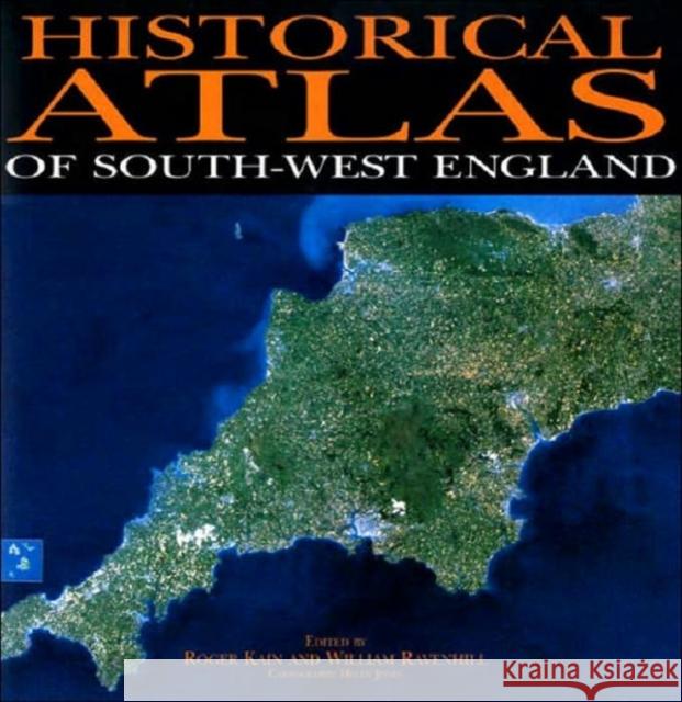
Historical Atlas of South-West England
ISBN: 9780859894340 / Angielski / Twarda / 2000 / 588 str. Termin realizacji zamówienia: ok. 22 dni roboczych. This is the first historical atlas of a major region of the United Kingdom. Its aim is to create and communicate the history of the South-Western peninsula of England-Cornwall, Devon and the Isles of Scilly - from the beginnings of man's occupation to the present day. The cartographic message projected by around 400 maps is extended by a substantial text of about 250,000 words as well as diagrams, contemporary prints and photographs. This is one of the most substantial collaborative cartographic ventures undertaken in the United Kingdom. There are more than fifty contributors, about half of...
This is the first historical atlas of a major region of the United Kingdom. Its aim is to create and communicate the history of the South-Western peni...
|
cena:
577,15 zł |
 |
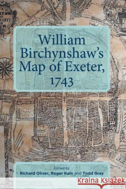
William Birchynshaw's Map of Exeter, 1743
ISBN: 9780901853974 / Angielski / Twarda / 2019 / 74 str. Termin realizacji zamówienia: ok. 22 dni roboczych. |
cena:
131,18 zł |
 |
The Enclosure Maps of England and Wales 1595-1918: A Cartographic Analysis and Electronic Catalogue
ISBN: 9780521173230 / Angielski / Miękka / 2011 / 436 str. Termin realizacji zamówienia: ok. 13-18 dni roboczych (Dostawa przed świętami) Offering a comprehensive study of the enclosure mapping of England and Wales, the authors assess the processes of land enclosure and the role of maps (the mapping of each county and the cartographic characteristics of all the maps). Accompanied by an electronic catalog of all extant parliamentary and non-parliamentary enclosure maps of England and Wales, this book will be an essential research tool for economic, social and local historians as well as geographers, lawyers and planners.
Offering a comprehensive study of the enclosure mapping of England and Wales, the authors assess the processes of land enclosure and the role of maps ...
|
cena:
453,08 zł |
 |
The Tithe Maps of England and Wales: A Cartographic Analysis and County-By-County Catalogue
ISBN: 9780521188807 / Angielski / Miękka / 2011 / 898 str. Termin realizacji zamówienia: ok. 13-18 dni roboczych (Dostawa przed świętami) The tithe maps of mid-nineteenth-century England and Wales are much used by historians, geographers, lawyers, planners and others who need accurate information about land and its ownership and use in the past. This book is a detailed catalog and analysis of these maps, offering an invaluable research tool for users and contributing much new information about this internationally important government survey.
The tithe maps of mid-nineteenth-century England and Wales are much used by historians, geographers, lawyers, planners and others who need accurate in...
|
cena:
662,28 zł |
 |
The Tithe Maps of England and Wales
ISBN: 9780521441919 / Angielski / Twarda / 1995 / 898 str. Termin realizacji zamówienia: ok. 16-18 dni roboczych. The tithe maps of mid-nineteenth-century England and Wales are much used by historians, geographers, lawyers, planners and others who need accurate information about land and its ownership and use in the past. This book is a detailed catalog and analysis of these maps, offering an invaluable research tool for users and contributing much new information about this internationally important government survey.
The tithe maps of mid-nineteenth-century England and Wales are much used by historians, geographers, lawyers, planners and others who need accurate in...
|
cena:
1373,24 zł |
 |
An Atlas and Index of the Tithe Files of Mid-Nineteenth-Century England and Wales
ISBN: 9780521071543 / Angielski / Miękka / 2011 / 680 str. Termin realizacji zamówienia: ok. 13-18 dni roboczych (Dostawa przed świętami) The tithe surveys of the early Victorian Age, after the great Domesday Book of the eleventh century, represent the most detailed and important national inventory to be taken before our own times. This 1986 book reconstructs elements of mid-nineteenth-century rural landscapes and farming systems by analysing the wealth of quantitative data which these tithe surveys contain, communicated cartographically by a set of 582 computer-generated maps, and statistically by a series of tables. The book also reveals the richness and variety of written evidence which the 14,829 parish tithe files (P.R.O....
The tithe surveys of the early Victorian Age, after the great Domesday Book of the eleventh century, represent the most detailed and important nationa...
|
cena:
447,27 zł |
 |
The Tithe Surveys of England and Wales
ISBN: 9780521024310 / Angielski / Miękka / 2006 / 344 str. Termin realizacji zamówienia: ok. 13-18 dni roboczych (Dostawa przed świętami) The rural landscape of England and Wales in the mid-nineteenth century is minutely depicted in the large-scale plans and schedules drawn for the Tithe Commissioners. Among other features shown on the maps are field boundaries and rights of way, whilst the accompanying schedules record the names of owners and occupiers, field names, land use and area. The amount of detailed information they provide, together with their uniformity, place the surveys as the most complete record of the agrarian landscape at any period. This book describes the nature of tithe payments, the Tithe Commutation Act of...
The rural landscape of England and Wales in the mid-nineteenth century is minutely depicted in the large-scale plans and schedules drawn for the Tithe...
|
cena:
218,26 zł |


