Wyniki wyszukiwania:
wyszukanych pozycji: 3
 |
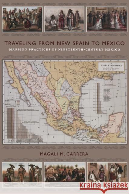
Traveling from New Spain to Mexico: Mapping Practices of Nineteenth-Century Mexico
ISBN: 9780822349914 / Angielski / Miękka / 2011 / 350 str. Termin realizacji zamówienia: ok. 30 dni roboczych. Antonio Garcia Cubas's "Carta general" of 1857, the first published map of the independent Mexican nation-state, represented the country's geographic coordinates in precise detail. The respected geographer and cartographer made mapping Mexico his life's work. Combining insights from the history of cartography and visual culture studies, Magali M. Carrera explains how Garcia Cubas fabricated credible and inspiring nationalist visual narratives for a rising sovereign nation by linking old and new visual strategies.
From the sixteenth century until the early nineteenth, Europeans had... Antonio Garcia Cubas's "Carta general" of 1857, the first published map of the independent Mexican nation-state, represented the country's geographic ...
|
cena:
155,77 |
 |
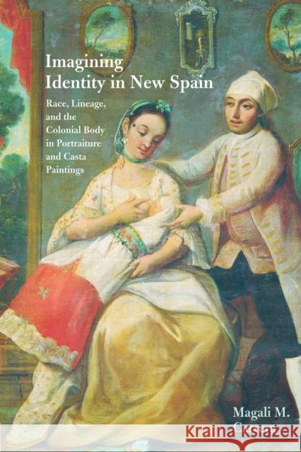
Imagining Identity in New Spain: Race, Lineage, and the Colonial Body in Portraiture and Casta Paintings
ISBN: 9780292744172 / Angielski / Miękka / 2003 / 216 str. Termin realizacji zamówienia: ok. 30 dni roboczych. Winner, Book Award, Association of Latin American Art, 2004 Reacting to the rising numbers of mixed-blood (Spanish-Indian-Black African) people in its New Spain colony, the eighteenth-century Bourbon government of Spain attempted to categorize and control its colonial subjects through increasing social regulation of their bodies and the spaces they inhabited. The discourse of calidad (status) and raza (lineage) on which the regulations were based also found expression in the visual culture of New Spain, particularly in the unique genre of casta... Winner, Book Award, Association of Latin American Art, 2004 Reacting to the rising numbers of mixed-blood (Spanish-Indian-Black Africa... |
cena:
97,30 |
 |
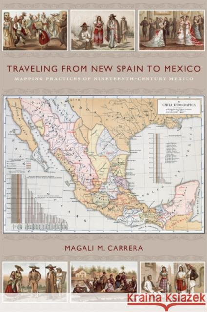
Traveling from New Spain to Mexico: Mapping Practices of Nineteenth-Century Mexico
ISBN: 9780822349761 / Angielski / Twarda / 2011 / 352 str. Termin realizacji zamówienia: ok. 30 dni roboczych. Antonio Garcia Cubas's "Carta general" of 1857, the first published map of the independent Mexican nation-state, represented the country's geographic coordinates in precise detail. The respected geographer and cartographer made mapping Mexico his life's work. Combining insights from the history of cartography and visual culture studies, Magali M. Carrera explains how Garcia Cubas fabricated credible and inspiring nationalist visual narratives for a rising sovereign nation by linking old and new visual strategies.
From the sixteenth century until the early nineteenth, Europeans had... Antonio Garcia Cubas's "Carta general" of 1857, the first published map of the independent Mexican nation-state, represented the country's geographic ...
|
cena:
647,42 |


