Wyniki wyszukiwania:
wyszukanych pozycji: 120
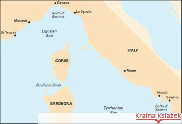 |
Imray Chart M40: Ligurian and Tyrrhenian Sea
ISBN: 9781846236167 / Angielski / Mapa, składana / 2014 / 1 str. Termin realizacji zamówienia: ok. 12 dni roboczych. Plans included: Monte Argentario (1:100 000) Bonifacio Strait (1:225 000) Golfo di Salerno (1:100 000) For this 2014 edition the chart has been fully updated throughout using revised depths where applicable. The full list of recently deployed AIS transmitters are shown across the chart, as is the new marina in Rada di Salerno.
Plans included: Monte Argentario (1:100 000) Bonifacio Strait (1:225 000) Golfo di Salerno (1:100 000) For this 2014 edition the chart has been full...
|
cena:
121,95 zł |
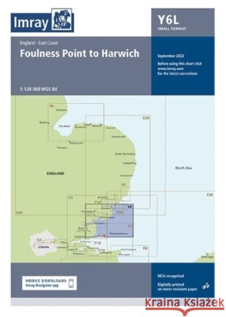 |
Imray Chart Y6 Laminated: Suffolk and Essex Coasts
ISBN: 9781786794253 / Mapa, płaska / 2022 / 1 str. Termin realizacji zamówienia: ok. 12 dni roboczych. Laminated version of Y6. For this 2022 edition the chart has been fully updated throughout with revised depths and the latest wind farm developments.
Laminated version of Y6. For this 2022 edition the chart has been fully updated throughout with revised depths and the latest wind farm developments.
|
cena:
116,85 zł |
 |
Imray Chart Y7: Thames Estuary South
ISBN: 9781786795632 / Mapa, składana / 2024 / 1 str. Termin realizacji zamówienia: ok. 12 dni roboczych. |
cena:
100,70 zł |
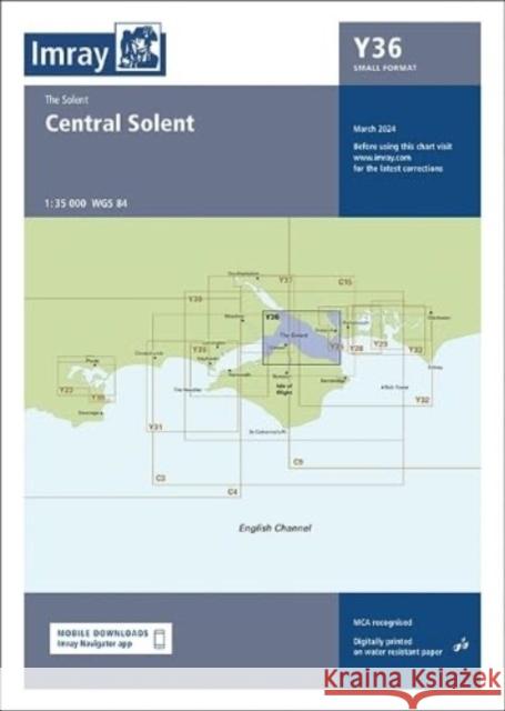 |
Imray Chart Y36: Central Solent (Small Format)
ISBN: 9781786795786 / Mapa, składana / 2024 / 1 str. Termin realizacji zamówienia: ok. 12 dni roboczych. This chart is a replica of Imray chart 2200.6 covering the Central Solent.
This chart is a replica of Imray chart 2200.6 covering the Central Solent.
|
cena:
107,40 zł |
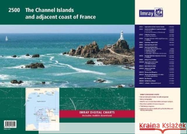 |
Imray 2500 Chart Pack: The Channel Islands and adjacent coast of France
ISBN: 9781786793911 / Angielski Termin realizacji zamówienia: ok. 12 dni roboczych. 1. Approaches to the Channel Islands (1: 500 000) 2. Cap Barfleur to Alderney (1: 150 000) Plans Cherbourg (1:40 000) Port de Chantereyne (Cherbourg) (1:10 000) 3. Alderney & Burhou (1: 25 000) Plan Alderney Harbour (1:12 500) 4. Passages Between Alderney & Guernsey (1: 150 000) Plan Dielette (1:15 000) 5. Guernsey, Herm & Sark (1: 60 000) 6. East Guernsey & Herm (1: 25 000) 7. Guernsey & Sark Plans (various scales) Plans St Peter Port & Havelet Bay (1:6000) Beaucette Marina (1:10 000) Sark Anchorages (1:25 000) Guernsey - South Coast Anchorages (1:25 000) 8. Passages...
1. Approaches to the Channel Islands (1: 500 000) 2. Cap Barfleur to Alderney (1: 150 000) Plans Cherbourg (1:40 000) Port de Chantereyne (Cherbou...
|
cena:
348,16 zł |
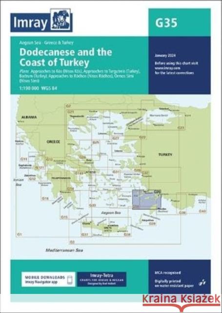 |
Imray Chart G35: Dodecanese and the Coast of Turkey
ISBN: 9781786795564 / Mapa, składana / 2024 / 1 str. Termin realizacji zamówienia: ok. 12 dni roboczych. This edition includes the latest official data combined with additional information sourced from Imray''s network to make it ideal for small craft. It includes the latest official bathymetric surveys. There has been general updating throughout.
This edition includes the latest official data combined with additional information sourced from Imray''s network to make it ideal for small craft. It...
|
cena:
142,26 zł |
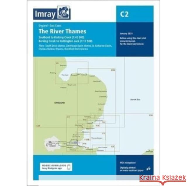 |
Imray Chart C2: The River Thames
ISBN: 9781786795663 / Mapa, składana / 2024 / 1 str. Termin realizacji zamówienia: ok. 12 dni roboczych. |
cena:
154,15 zł |
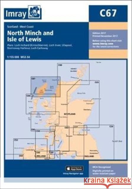 |
Imray Chart C67: North Minch and Isle of Lewis
ISBN: 9781846239632 / Angielski / Mapa, składana / 2017 / 1 str. Termin realizacji zamówienia: ok. 12 dni roboczych. Plans included:Loch Inchard (Kinlochbervie) (1:12 500)Loch Inver (1:15 000)Ullapool (1:10 000)Stornoway Harbour (1:15 000)Loch Carloway (1:20 000)
Plans included:Loch Inchard (Kinlochbervie) (1:12 500)Loch Inver (1:15 000)Ullapool (1:10 000)Stornoway Harbour (1:15 000)Loch Carloway (1:20 000)
|
cena:
132,12 zł |
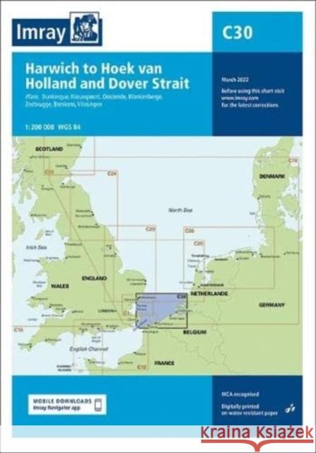 |
Imray Chart C30: Harwich to Hoek van Holland and Dover Strait
ISBN: 9781786793645 / Angielski Termin realizacji zamówienia: ok. 12 dni roboczych. This edition includes the latest official data combined with additional information sourced from Imray's network to make it ideal for small craft. It includes the latest official bathymetric surveys and the latest windfarm information. Suggested routes showing popular passages across the chart have been updated. Further pilotage information on these routes are included in the North Sea Passage Pilot by Garth Cooper published by Imray. There has been general updating throughout.
This edition includes the latest official data combined with additional information sourced from Imray's network to make it ideal for small craft. It ...
|
cena:
128,44 zł |
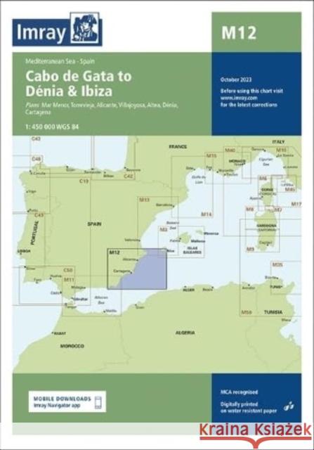 |
M12: Cabo de Gata to Denia and Ibiza
ISBN: 9781786795120 / Fold-out book or chart / 2023 / 1 str. Termin realizacji zamówienia: ok. 12 dni roboczych. Cabo de Gata to Denia and Ibiza
Cabo de Gata to Denia and Ibiza
|
cena:
151,76 zł |
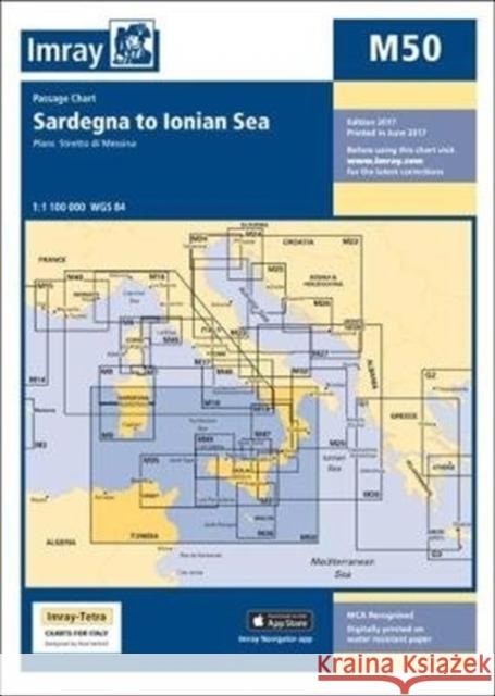 |
Imray Chart M50: Sardegna to Ionian Sea
ISBN: 9781846239236 / Angielski / Mapa, składana / 2017 / 1 str. Termin realizacji zamówienia: ok. 12 dni roboczych. Plans included:Stretto di Messina (1:125 000)On this 2017 edition the two new Traffic Separation Schemes off the Algerian coast are shown. The chart specification has been improved to show coloured light flashes. There has been general updating throughout.
Plans included:Stretto di Messina (1:125 000)On this 2017 edition the two new Traffic Separation Schemes off the Algerian coast are shown. The chart s...
|
cena:
121,95 zł |
 |
Imray Chart Pack 2900 Firth of Clyde Chart Pack: Firth of Clyde Includes passages to Northern Ireland
ISBN: 9781786792044 / Mapa, płaska / 2020 / 16 str. Termin realizacji zamówienia: ok. 12 dni roboczych. This complete redesign of our 2900 Firth of Clyde chart pack now include more detailed coverage of the area and comes as a paper and digital edition.
This complete redesign of our 2900 Firth of Clyde chart pack now include more detailed coverage of the area and comes as a paper and digital edition.
|
cena:
348,16 zł |
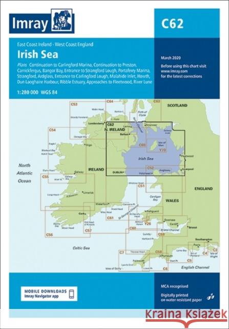 |
Imray Chart C62: Irish Sea
ISBN: 9781786791917 / Mapa, składana / 2020 / 1 str. Termin realizacji zamówienia: ok. 12 dni roboczych. |
cena:
132,12 zł |
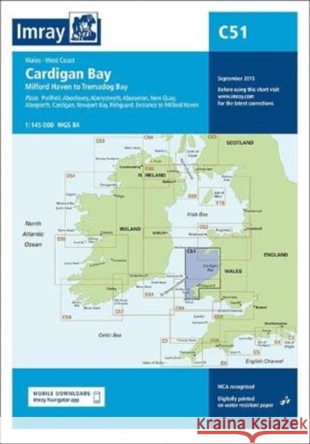 |
Imray Chart C51 Cardigan Bay: Milford Haven to Tremadog Bay
ISBN: 9781786794970 / Angielski Termin realizacji zamówienia: ok. 12 dni roboczych. |
cena:
164,42 zł |
 |
Imray Chart Y37: Southampton Water (Small Format)
ISBN: 9781786795793 / Mapa, składana / 2024 / 1 str. Termin realizacji zamówienia: ok. 12 dni roboczych. This chart is a replica of Imray chart 2200.11 covering Southampton Water.
This chart is a replica of Imray chart 2200.11 covering Southampton Water.
|
cena:
86,31 zł |
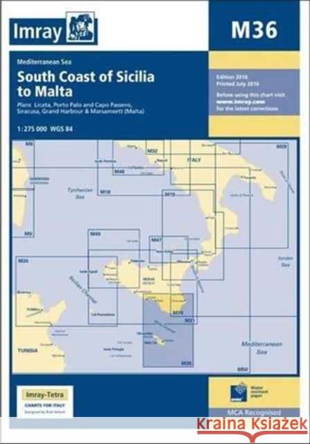 |
Imray Chart M36: South Coast of Sicilia to Malta
ISBN: 9781846237713 / Angielski / Miękka / 2016 / 1 str. Termin realizacji zamówienia: ok. 12 dni roboczych. A brand new chart for 2016 covering the south coast of Sicily and Malta Passage Plans included: Licata (1:20 000) Porto Palo and Capo Passero (1:100 000) Siracusa (1:35 000) Grand Harbour & Marsamxett (Malta) (1:15 000)
A brand new chart for 2016 covering the south coast of Sicily and Malta Passage Plans included: Licata (1:20 000) Porto Palo and Capo Passero (1:100 ...
|
cena:
121,95 zł |
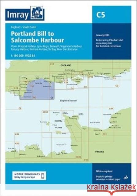 |
Imray Chart C5: Portland Bill to Salcombe Harbour
ISBN: 9781786794604 / Angielski Termin realizacji zamówienia: ok. 12 dni roboczych. Plans included: Bridport Harbour (1:5000) Lyme Regis (1:10 000) Exmouth (1:21 500) Teignmouth Harbour (1:12 500) Torquay Harbour (1:7700) Brixham Harbour (1:10 000) Tor Bay (1:50 000) River Dart Entrance (1:15 000)
Plans included: Bridport Harbour (1:5000) Lyme Regis (1:10 000) Exmouth (1:21 500) Teignmouth Harbour (1:12 500) Torquay Harbour (1:7700) Brix...
|
cena:
154,15 zł |
 |
Imray Chart C15 The Solent: Bembridge to Hurst Point and Southampton
ISBN: 9781786795717 / Mapa, składana / 2024 / 1 str. Termin realizacji zamówienia: ok. 12 dni roboczych. Covering one of the most popular sailing areas in Britain, The Solent chart provides all the information needed for planning and navigating this stretch of water.
Covering one of the most popular sailing areas in Britain, The Solent chart provides all the information needed for planning and navigating this stret...
|
cena:
164,42 zł |
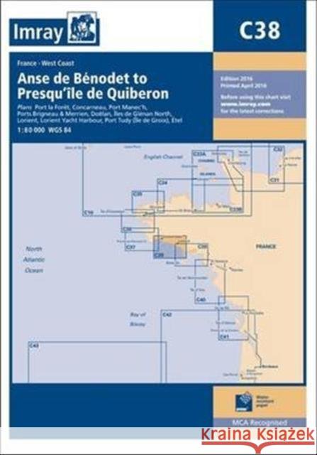 |
Imray Chart C38: Anse de Benodet to Presqu'ile de Quiberon
ISBN: 9781846237171 / Angielski / Miękka / 2016 / 1 str. Termin realizacji zamówienia: ok. 12 dni roboczych. Plans included: Port la Foret (1:15 000) Concarneau (1:15 000) Port Manec'h (1:35 000) Ports Brigneau & Merrien (1:20 000) Doelan (1:15 000) Iles de Glenan North (1:30 000) Lorient (1:35 000) Lorient Yacht Harbour (1:10 000) Port Tudy (Ile de Groix) (1:10 000) Etel (1:35 000)
Plans included: Port la Foret (1:15 000) Concarneau (1:15 000) Port Manec'h (1:35 000) Ports Brigneau & Merrien (1:20 000) Doelan (1:15 000) Iles de ...
|
cena:
132,12 zł |
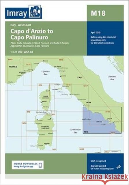 |
Imray Chart M18: Capo d'Anzio to Capo Palinuro
ISBN: 9781786791030 / Angielski / Mapa, składana / 2019 / 1 str. Termin realizacji zamówienia: ok. 12 dni roboczych. Plans included: Rada di Gaeta (1:35 000) Golfo di Pozzuoli and Rada di Napoli (1:65 000) Approaches to Acciaroli (sketch plan) Capo Palinuro (sketch plan)
Plans included: Rada di Gaeta (1:35 000) Golfo di Pozzuoli and Rada di Napoli (1:65 000) Approaches to Acciaroli (sketch plan) Capo Palinuro (sk...
|
cena:
121,95 zł |


