Conservation GIS » książka
Conservation GIS
ISBN-13: 9783659299377 / Angielski / Miękka / 2012 / 96 str.
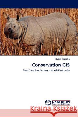
This book presents two case studies undertaken in northeast India that demonstrate the utility of methodologies available in geographic information systems (GIS) and remote sensing to study the environment and conserve it and its resources. The capabilities of GIS to manage, analyze and model data are now being used in countless conservation studies, such as the analysis of habitat changes, estimation of wildlife population and distribution, modeling of corridors towards increasing animal demographics, protecting biodiversity, tracking of marked animals for insights on migratory practices and guarding against poaching, to name a few. The union of conservation goals and GIS tools brought about what is called conservation GIS. The case studies presented here focus on the analyses of the habitats of two endangered large mammals, namely the one-horned Indian rhino and the Asian elephant. The nature areas studied are the famous Kaziranga National Park, which is home to the worlds largest population of Indian rhinos, and in the Kameng-Sonitpur Elephant Reserve, which has always been part of the territory roamed by nomadic elephants.


