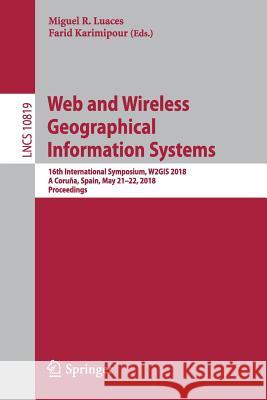
Web and Wireless Geographical Information Systems: 16th International Symposium, W2gis 2018, a Coruña, Spain, May 21-22, 2018, Proceedings » książka
topmenu
Web and Wireless Geographical Information Systems: 16th International Symposium, W2gis 2018, a Coruña, Spain, May 21-22, 2018, Proceedings
ISBN-13: 9783319900520 / Angielski / Miękka / 2018 / 173 str.
Web and Wireless Geographical Information Systems: 16th International Symposium, W2gis 2018, a Coruña, Spain, May 21-22, 2018, Proceedings
ISBN-13: 9783319900520 / Angielski / Miękka / 2018 / 173 str.
cena 169,08
(netto: 161,03 VAT: 5%)
Najniższa cena z 30 dni: 161,93
(netto: 161,03 VAT: 5%)
Najniższa cena z 30 dni: 161,93
Termin realizacji zamówienia:
ok. 16-18 dni roboczych.
ok. 16-18 dni roboczych.
Darmowa dostawa!
Kategorie:
Kategorie BISAC:
Wydawca:
Springer
Język:
Angielski
ISBN-13:
9783319900520
Rok wydania:
2018
Wydanie:
2018
Ilość stron:
173
Waga:
0.27 kg
Wymiary:
23.39 x 15.6 x 0.99
Oprawa:
Miękka
Wolumenów:
01
Dodatkowe informacje:
Wydanie ilustrowane


