The Effect of Riparian Zones on Nitrate Removal by Denitrification at the River Basin Scale » książka
The Effect of Riparian Zones on Nitrate Removal by Denitrification at the River Basin Scale
ISBN-13: 9781138024052 / Angielski / Miękka / 2014 / 200 str.
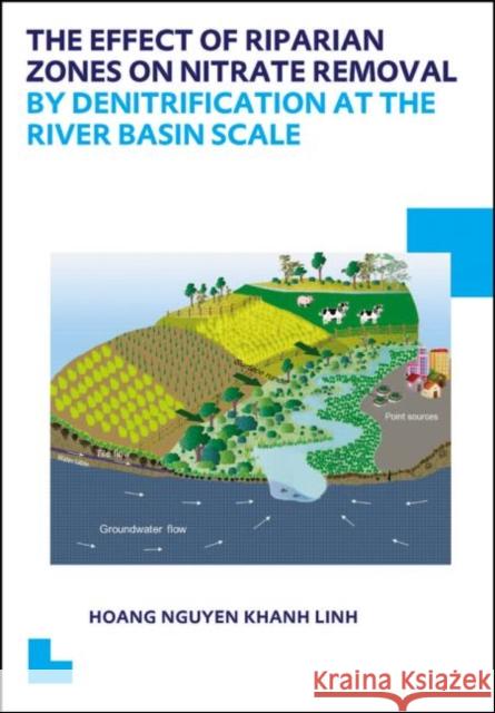
At the interface between terrestrial and aquatic ecosystems, the riparian zone plays an important role in nitrogen removal, despite the minor proportion of the land area that it covers. Very limited studies are carried out in modelling these effects at the river basin scales. The Soil and Water Assessment Tool (SWAT) is a well-known river basin scale model to simulate hydrological processes and nutrient dispersal. So far, SWAT followed a lumped approach that did not take into account the effect of the particular position of the hydrological units and their interaction, which implied that SWAT could not model riparian zones as discrete units and take into account the effects from upland areas. This thesis presents two modifications in SWAT: (i) an approach to represent landscape variability and landscape routing across different landscape units, and (ii) a Riparian Nitrogen Model that simulates the denitrification process in riparian zones. This enhanced landscape SWAT model, referred to as SWAT_LS, was tested on a hypothetical case study and then applied to the Odense river basin, an agriculture-dominated and a densely tile-drained river basin.Case study results show that SWAT_LS is able to evaluate the effect of denitrification in riparian zones, taking into account their specific locations as interfaces between terrestrial and aquatic ecosystems. These modifications enable the SWAT model to be used for flow and nitrogen modelling in riparian zones.


