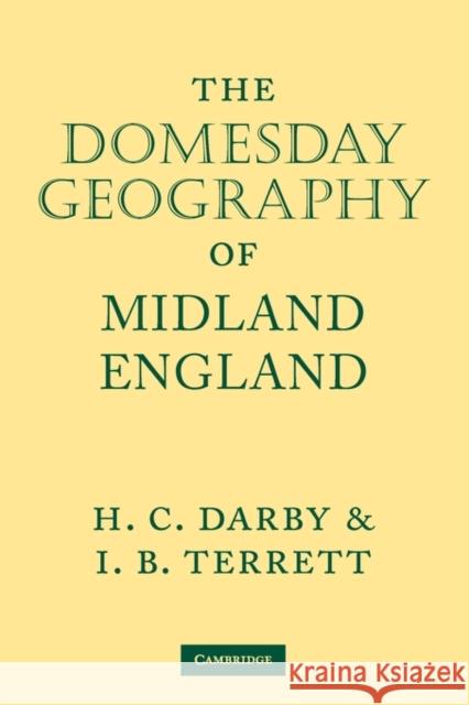
The Domesday Geography of Midland England » książka
The Domesday Geography of Midland England
ISBN-13: 9780521117616 / Angielski / Miękka / 2009 / 512 str.
The Domesday Book has long been used as a source of information about legal and economic matters, but its bearing upon the geography of medieval England has been comparatively neglected. The extraction of geographical information involves problems of interpretation, since it necessitates an analysis into elements and their subsequent reconstruction on a geographical basis. But when this has been done, new materials for making a general picture of the relative prosperity of different areas are available as well as data for the comparative study of varying geographic and economic factors. The complete work, The Domesday Geography of England, consists of seven volumes. This volume covers Gloucestershire, Herefordshire, Shropshire, Staffordshire, Worcestershire, Warwickshire, Leicestershire, Rutland and Northamptonshire. It is the second edition of the second of the Domesday Geographies. First published in 1954, the text has been considerably revised to take account of recent research and new place-name identification. The treatment of statistics for boroughs has been brought into line with that of the other volumes of the series and a large number of maps has been altered.


