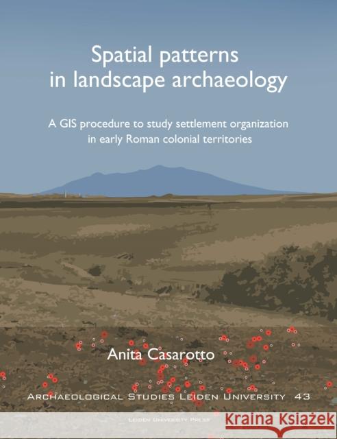
Spatial Patterns in Landscape Archaeology: A GIS Procedure to Study Settlement Organization in Early Roman Colonial Territories » książka
topmenu
Spatial Patterns in Landscape Archaeology: A GIS Procedure to Study Settlement Organization in Early Roman Colonial Territories
ISBN-13: 9789087283117 / Angielski / Miękka / 2018 / 150 str.
Spatial Patterns in Landscape Archaeology: A GIS Procedure to Study Settlement Organization in Early Roman Colonial Territories
ISBN-13: 9789087283117 / Angielski / Miękka / 2018 / 150 str.
cena 239,99
(netto: 228,56 VAT: 5%)
Najniższa cena z 30 dni: 226,68
(netto: 228,56 VAT: 5%)
Najniższa cena z 30 dni: 226,68
Termin realizacji zamówienia:
ok. 30 dni roboczych.
ok. 30 dni roboczych.
Darmowa dostawa!
Kategorie:
Kategorie BISAC:
Wydawca:
Leiden University Press
Seria wydawnicza:
Język:
Angielski
ISBN-13:
9789087283117
Rok wydania:
2018
Dostępne języki:
Numer serii:
000263653
Ilość stron:
150
Waga:
0.50 kg
Wymiary:
27.18 x 20.83 x 1.27
Oprawa:
Miękka


