Remote Sensing and Geographical Information System Application » książka
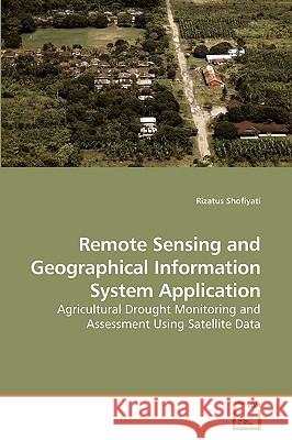
Remote Sensing and Geographical Information System Application
ISBN-13: 9783639205077 / Angielski / Miękka / 2009 / 100 str.
Rice, a staple food for some countries, should be available, accessible & affordable at all times, therefore, a justifiable planning of agricultural development should be appropriately prepared. It is evidenced that drought hazard is influencing crop production and drought monitoring is important to anticipate such situation. Current method used to monitor the threat of drought is apparently various in number & in different approaches to withdraw valuable information. This book provides analyzes of Remote Sensing & GIS methods for drought monitoring. The application of these methods is very useful in agricultural planning. Three methods are elaborated. Multi temporal analysis of vegetation index & brightness temperature is useful to monitor drought condition. Integration of high & low-resolution satellite data to obtain an optimum technique is quite promisingly to apply for small area of agriculture. Combination of RS & GIS using multi factor analysis is highly significant as a method for drought monitoring and assessment. A good relationship between Drought Status, the indicator for assessing drought, & Drought Risk level could be applied for drought assessment.


