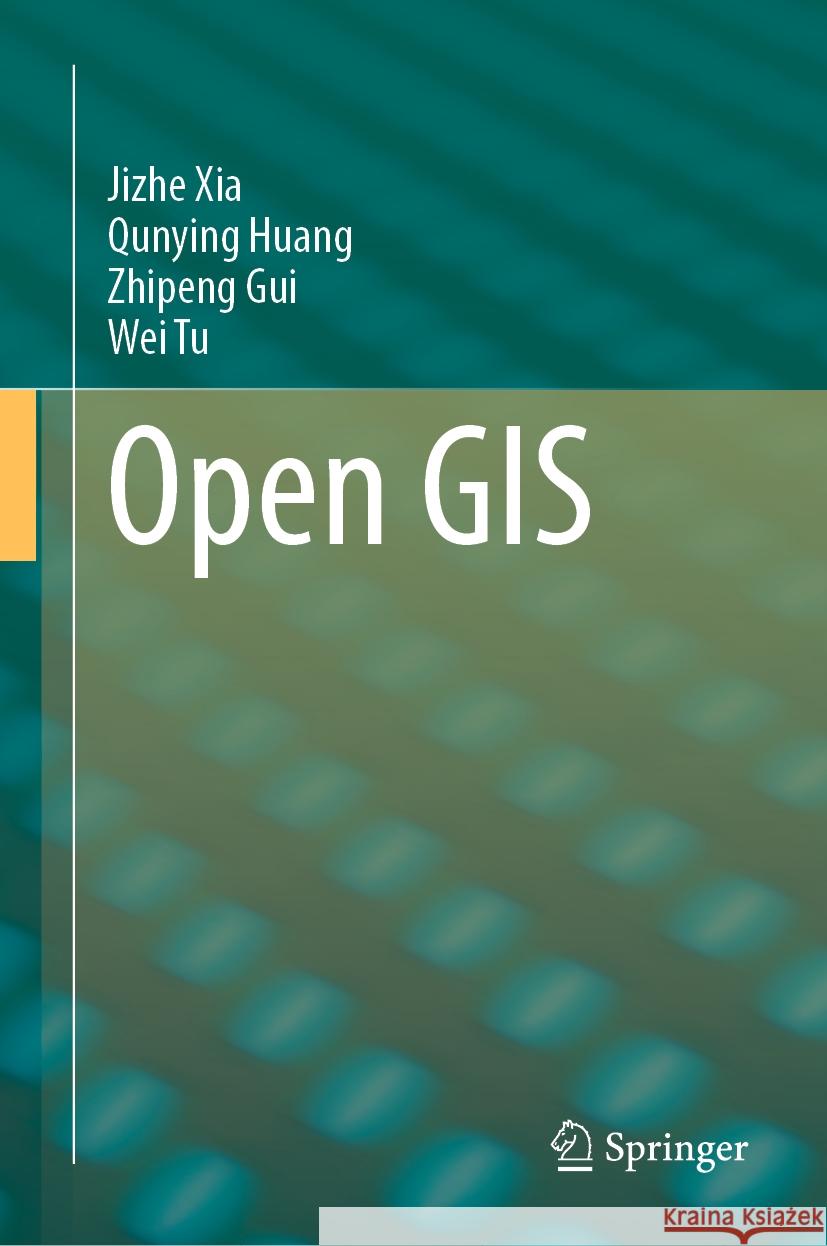
Open GIS » książka


(netto: 536,72 VAT: 5%)
Najniższa cena z 30 dni: 539,74
ok. 16-18 dni roboczych.
Darmowa dostawa!
Chapter 1: Open GIS.- Chapter 2: Open Data.- Chapter 3: Open Data Standards and Services.- Chapter 4: DB fundamentals.- Chapter 5: Relational Database.- Chapter 6: NoSQLDatabase for Big Data.- Chapter 7: Vector data processing and analysis.- Chapter 8: Remote Sensing Image Analysis.- Chapter 9: Programming Libraries, APIs and Tools.- Chapter 10: Desktop-based Mapping and Visualization Tools.- Chapter 11: Web-based Mapping and Visualization Packages.- Chapter 12: Open GIS for Public Health.- Chapter 13: Open GIS for Natural Hazards.- Chapter 14: Open GIS for Business.
Dr Jizhe Xia is an associate professor in the Department of Urban Informatics at Shenzhen University, China. He received his Ph.D. degree in earth systems and geoinformation sciences from George Mason University, in 2015. From 2015 to 2017, he was a Research Assistant Professor with the National Science Foundation (NSF) Spatiotemporal Invitation Center. His research interests include spatiotemporal data structure, spatiotemporal optimization, open-source GIS and their applications in smart city. He published over 60 articles with over 1200 citations. He is the PI of National Natural Science Foundation of China (NFSC) project, National Key R&D Program of China programs sub-project and has received over 4 million RMB research funding since 2017. Dr. Xia teaches courses including: (1) Open-source GIS (undergrade level); Open data, software and computing (graduate level), (2) WebGIS, (3) Data science and data mining, (4) Big Data GIS, and (5) Spatial visualization. In 2019, he received the second prize of GIS teaching competition of China. His teaching experiences are highly relevant to the scope of the proposed book.
Dr. Qunying Huang is an associate professor in the Department of Geography at University of Wisconsin-Madison (UW-Madison). She holds a B.S. from Central South University (2004), M.S. from Peking University (2007) and Ph.D. from George Mason University (2011). Her fields of expertise include Spatial Big Data Analytics and Fusion, Spatial Data Mining, and Spatial Computing. Dr. Huang’s research bridges the gap between Computer and Information Science (CIScience) and GIScience by generating new computational algorithms and methods to make sense of complex spatial datasets. The problem domains of her research are related to human mobility and natural hazards. Dr. Huang published over 90 articles, and edited three books. Her research is primarily sponsored by Department of Energy, National Science Foundation, National Aeronautics and Space Administration, National Institutes of Health, NOAA Sea Grant, and Wisconsin Alumni Research Foundation. Dr. Huang is a fellow for Next Generation of Hazards & Disasters Researchers, and CyberGIS. Dr. Huang served as an editorial board member for the Geo-spatial Information Science (GSIS), and a guest editor of a Special Issue in the ISPRS International Journal of Geo-Information, International Journal of Digital Earth, and Cartography and Geographic Information Science. Dr. Huang was elected as the chair for AAG Cyberinfrastructure Specialty Group. Dr. Huang regularly teaches three GIScience: (1) Geog170 “Introduction to Geospatial Technologies”; (2) Geog574 “Spatial Database”; and (3) Geog576 “Spatial Web and Mobile Programming”. IN particular, the teaching experiences in Geo574, and Geog576 are highly relevant and useful to the proposed book chapters Dr. Huang will be responsible for.
Dr. Zhipeng Gui is now an Associate Professor of Geographic Information Science in the School of Remote Sensing and Information Engineering, Wuhan University. He received his Ph.D. degree from Wuhan University in 2011, and worked as a research assistant professor at George Mason University, U.S. till Dec. 2013, as well as an honorary research associate at Chinese University of Hong Kong in 2018. His research interest is high-performance spatiotemporal data mining, geovisual analytics and Distributed Geographic Information Processing (DGIP), especially on 1) Spatiotemporal point pattern analysis, human mobility and GeoAI; 2) High-performance geocomputation and spatial cloud computing; 3) Multimodal and cross-modal geospatial resource discovery and retrieval; 4) Geospatial service chain modeling and optimization; 5) QoGIS-aware monitoring and evaluation of geospatial web services. He serves as the Co-chair of International Society for Photogrammetry and Remote Sensing (ISPRS) Working Group V/4 (2016-2020), as well as the Secretary of Working Committee of Theory and Method for Geographic Information Science (2017-2021), China Association for Geographic Information Society (CAGIS). He has received two research programs as PI sponsored by National Natural Science Foundation of China (NFSC), and participate two National Key R&D Program of China programs as PI of Sub-project. Dr. Gui regularly teaches four courses: 1) Geospatial Web Service Technologies; 2) High Performance Geocomputation; 2) Geovisualization Technologies; 4) Software Engineering. He also teaches several international summer school courses and tutorials during ISPRS events.
Dr. Wei Tu is an associate professor in the Department of Urban Informatics, Shenzhen University. He is also a visiting scholar at the Senseable City Laboratory, Massachusetts Institute of Technology. He received the B.S., M.S, and Ph.D degree from Wuhan University 2007, 2009, and 2013 respectively. He is the co-chair of Work Group “smart cities and region”, International Society of Photogrammetry and Remote Sensing. His research interests focus on Urban Sensing and Intelligence, including data-driven human activity-mobility, multi-source geospatial data fusion, and smart applications in the cities worldwide. He has published over 60 articles. His research is primarily sponsored by National Science Foundation of China, MSRA, Shenzhen City Government. Dr. Tu served as an editorial board member for the PLOS One, and a guest editor of a Special Issue in the Environment and Planning B: Urban Analytics and City Science. He has been awarded the LIZHI Young-Talent Scholar. Dr. Tu teaches courses including: (1) GIS: principle and application (undergrade level); (2) Spatial statistics and analysis, (3) Urban big data analytics. His teaching experiences are highly relevant to the scope of the proposed book.
1997-2026 DolnySlask.com Agencja Internetowa
KrainaKsiazek.PL - Księgarnia Internetowa


