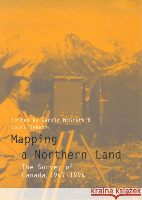
Mapping a Northern Land: The Survey of Canada, 1947-1994 » książka
Mapping a Northern Land: The Survey of Canada, 1947-1994
ISBN-13: 9780773516892 / Angielski / Twarda / 1999 / 680 str.
The book provides an excellent description of the birth and development of remote sensing, especially valuable in Canada because of its many areas of difficult access, and of geographical information systems, a Canadian innovation. For those interested in maps themselves rather than the techniques of gathering the necessary information, there are chapters on the development of federal and provincial map and chart styles, the wealth of atlases, and the numerous thematic maps produced in Canada as well as on how this spatial information has been marketed. For the surveyor there are chapters on the contributions of geodesy, cadastral surveying, and engineering surveying. The photogrammetrist's interests are addressed by chapters on federal mapping, Canada's air survey industry, and photogrammetric research. There are also chapters on education, the naming of Canada's places and features, and Canada's international role in mapping and surveying. Serving as a conclusion to Don Thomson's three-volume Men and Meridians, Mapping a Northern Land will be an essential reference not only for those who work in the field of geomatics but for those interested in maps, charts, and atlases and in new technology for surveying and mapping.


