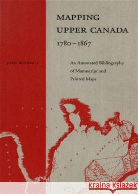
Mapping Upper Canada, 1780-1867: An Annotated Bibliography of Manuscript and Printed Maps » książka
Mapping Upper Canada, 1780-1867: An Annotated Bibliography of Manuscript and Printed Maps
ISBN-13: 9780802027948 / Angielski / Twarda / 1991 / 986 str.
Mapping Upper Canada, 1780-1867: An Annotated Bibliography of Manuscript and Printed Maps
ISBN-13: 9780802027948 / Angielski / Twarda / 1991 / 986 str.
(netto: 808,32 VAT: 5%)
Najniższa cena z 30 dni: 840,05
ok. 30 dni roboczych
Dostawa w 2026 r.
Darmowa dostawa!
The early face of what is now Ontario was documented in an extraordinary number of maps. Thousands of them have survived to the present day - maps of the area as a whole, its regions, and its cities and towns. In this bibliography Joan Winearls offers a guide to maps of the province of Upper Canada/Canada West, manuscript and printed, from the beginning of British settlement up to Confederation.Each entry includes a physical description of the map, brief annotations including associated documents and sources, and information about where the map is now found. The book as a whole provides a unique resource for historians, geographers, genealogists, surveyors, archaologists, and local history buffs.Appendices examine township surveys; registered plans of urban subdivisions, this describing much of the evolution of towns; nautical charts of the Great Lakes; and boundary surveys. The bibliography is fully indexed by author, place, and subject.


