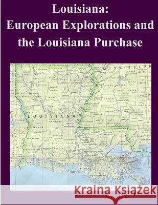
Louisiana: European Explorations and the Louisiana Purchase » książka
Louisiana: European Explorations and the Louisiana Purchase
ISBN-13: 9781502396310 / Angielski / Miękka / 2014 / 120 str.
The Louisiana of today bears little resemblance to the vaguely defined territory acquired by the United States from France in 1803 for $15 million. At the time of the Louisiana Purchase no one could present any maps or documents that delineated the boundaries of the province with reasonable accuracy. As a result of that uncertainty, the United States was more or less free to advance its claims beyond the Mississippi River on terms favorable to its own interests. Louisiana as a province had a colorful and dramatic history in its roles as a European colony, a pawn in European diplomacy, and a territory coveted by the young United States. Over the centuries Louisiana has represented various possibilities to different interested nationalities-both geographically and politically. To the Spanish, Louisiana formed their northernmost borderland in an empire stretching from Buenos Aires to California. For the French, whose ambitions envisioned a North American colony encompassing the entire Mississippi Valley and the Great Lakes Region into Canada, Louisiana and its immense resources held out a great deal of promise, but in reality offered very little in return. For the British, Louisiana represented a challenge to Spain's authority in the Mississippi Valley. Louisiana's boundaries periodically were shifted and redrawn to suit circumstances of empire. The first officially sanctioned geographic and political limits associated with the Louisiana Purchase were not laid down until the state of Louisiana was admitted to the union in 1812-the first state carved out of the Purchase as well as the first state west of the Mississippi. The one prominent feature of Louisiana upon which all powers agreed as being both markedly fixed and of utmost significance for advancing national interests further west was the Mississippi River. The largest and most important river in North America, the Mississippi held the key to controlling the vast interior of the continent. Indeed, the boundaries of the Louisiana Purchase recognized today are formed by the western watershed of the Mississippi River in its entirety. Because diplomacy and accepted standards failed to define Louisiana in the early 19th century, the Mississippi and its tributaries delimit it. Spanish explorers sailed along Louisiana's coast as early as 1520 and encountered the Mississippi River for the first time on land in 1542. The Spanish, however, never gained a foothold in the region. Nearly a century and a half later, in 1682, the famous French explorer Rene Robert Cavelier, Sieur de La Salle, descended the Mississippi to its mouth and by right of discovery promptly claimed the entire region for Louis XIV of France (reigned 1643-1715). Not long thereafter, in 1699, a permanent French colony was planted on the Gulf Coast. Proving unprofitable for the French Crown, control of the colony was transferred successively to the merchant Antoine Crozat and to the Scottish financier John Law. Under the latter, the colony experienced some development, such as the founding of New Orleans in 1718 and the introduction of slaves from Africa. In 1731, beset by Indian wars and continuing economic losses, the company returned Louisiana to Louis XV (reigned 1715-74), under whom it remained for the next three decades."
Zawartość książki może nie spełniać oczekiwań – reklamacje nie obejmują treści, która mogła nie być redakcyjnie ani merytorycznie opracowana.


