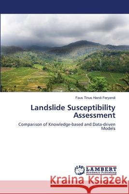
Landslide Susceptibility Assessment » książka
Landslide Susceptibility Assessment
ISBN-13: 9783659198939 / Angielski / Miękka / 2012 / 132 str.
Disaster management requires spatial information as a backbone of preparedness and mitigation process. In that context, an assessment of landslide susceptibility becomes essential in an area that is prone to landslide due to its geographical condition. In this study, three different methods were applied to examine landslide susceptibility in that area: heuristic, statistical logistic regression and Artificial Neural Network (ANN). Heuristic method is a knowledge-based approach whereas the latter two are categorized as data-driven methods due to the involvement of landslide inventory in their analysis. Eight site-specific available and commonly used landslide influencing factors (slope, aspect, topographical shape, curvature, lithology, land use, distance to road and distance to river) were preprocessed in a GIS environment and then analyzed using statistical and GIS tools to understand the relationship and significance of each to landslide occurrence, and to generate landslide susceptibility maps.


