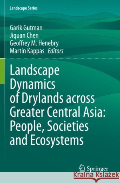
Landscape Dynamics of Drylands Across Greater Central Asia: People, Societies and Ecosystems » książka


Landscape Dynamics of Drylands Across Greater Central Asia: People, Societies and Ecosystems
ISBN-13: 9783030307448 / Angielski / Miękka / 2021 / 230 str.
Landscape Dynamics of Drylands Across Greater Central Asia: People, Societies and Ecosystems
ISBN-13: 9783030307448 / Angielski / Miękka / 2021 / 230 str.
(netto: 575,06 VAT: 5%)
Najniższa cena z 30 dni: 578,30
ok. 16-18 dni roboczych.
Darmowa dostawa!
Dr. Garik Gutman is a Program Manager for the NASA Land-Cover/Land-Use Change (LCLUC) Program. He received his Ph.D. in Climate Modeling in 1984, was a National Research Council of the National Academy of Sciences Fellow at National Oceanic and Atmospheric Administration (NOAA) and then worked there 14 years as a research scientist. His research focused on remote sensing of the Earth's land surface and atmosphere from space. In 1996, for developing an original technique using satellite data for reliable analyses of the Earth’s vegetation cover and its long-term variations, Dr. Gutman received the U.S. Department of Commerce Bronze Medal Award.
Dr. Jiquan Chen received his PhD in Ecosystem Analysis from University of Washington and is currently a professor at Michigan State University. He was a Bullard Fellow at Harvard University and on the faculty at Michigan Tech University and University of Toledo. He is broadly interested in ecosystem analysis, landscape ecology, conservation biology, biophysics, global change, land use, urban studies, and the sustainability of socioeconomic-ecological systems. He has conducted research on edge effects in fragmented landscapes, 3D canopy of forests, ecosystem carbon/water/energy fluxes, riparian zone management, agricultural and bioenergy crops, grassland (rangeland) ecology, dynamics of urban systems, and the role of institution in shaping landscape-regions under the changing globe. He is a fellow of the Ecological Society of America and a fellow of the American Association for the Advancement of Science. He serves as the Editor-in-Chief for Ecological Processes, and the book series of Landscape Studies by Springer.
Dr. Geoffrey Henebry received his MS and PhD degrees in Environmental Sciences from The University of Texas at Dallas. He is a full professor in the Department of Geography, Environment, and Spatial Sciences at Michigan State University. He was a Senior Fulbright Research Fellow at Instituto National de Pesquisas Espacias (INPE) in Brazil, and he served on the faculties at Kansas State University, Rutgers University-Newark, University of Nebraska-Lincoln, and South Dakota State University. His research interests are broad and involve in the use of remote sensing and geospatial technologies to study environmental patterns and processes, including quantitative analysis and modeling of land surface phenology and land cover/land use change. Geoff is active in the American Geophysical Union and the North American Chapter of the International Association of Landscape Ecology. He serves as an Associate Editor for Remote Sensing of Environment and on the editorial boards of Landscape Ecology and International Journal of Biometeorology.
Dr. Martin Kappas is a University Professor of Geography and the head of the Cartography, GIS and Remote Sensing Section of the Georg-August University of Göttingen, Germany. His remote sensing laboratory is a full member of EARSeL (European Association of Remote Sensing Laboratories) and takes part as active member of International DesertNET (Competence Network for Research to Combat Desertification). Martin’s research interests are broad and include topics such as landscape evaluation using techniques of geoinformatics and ground truth data collection. His main research theme is the use of remote sensing and GIS to study land cover / land use changes. He is currently working on diverse interdisciplinary projects in Central Asia, Africa, Vietnam and Europe. He is a reviewer for the German Science Community (DFG) and the German Humboldt Foundation. Martin also serves actively inside various societies such as the German Society of Photogrammetry and Remote Sensing and the German International Institute for Applied Systems Analysis (IIASA). He currently serves on the editorial board of Ecological Processes.
This volume is a compilation of studies on interactions of changes in land cover, land use and climate with people, societies and ecosystems in drylands of Greater Central Asia. It explores the effects of collapse of socialist governance and management systems on land use in various parts of Central Asia, including former Soviet Union republics, Mongolia and northern drylands of China. Often, regional land-atmosphere feedbacks may have large global importance. Remote sensing is a primary tool in studying vast dryland territories where in situ observations are sporadic. State-of-the-art methods of satellite remote sensing combined with GIS and models are used to tackle science questions and provide an outlook of current changes at land surface and potential scenarios for the future.
In 10 chapters, contributing authors cover topics such as water resources, effects of institutional changes on urban centers and agriculture, landscape dynamics, and the primary drivers of environmental changes in dryland environment. Satellite observations that have accumulated during the last five decades provide a rich time series of the dynamic land surface, enabling systematic analysis of changes in land cover and land use from space.
The book is a truly international effort by a team of scientists from the U.S., Europe and Central Asia. It is directed at the broad science community including graduate students, academics and other professionals at all levels within natural and social sciences. In particular, it will appeal to geographers, environmental and social scientists, economists, agricultural scientists, and remote sensing specialists.
1997-2026 DolnySlask.com Agencja Internetowa
KrainaKsiazek.PL - Księgarnia Internetowa


