Jurupa » książka
Jurupa
ISBN-13: 9781531616908 / Angielski / Twarda / 2006 / 130 str.
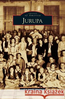
The far northwestern corner of Riverside County, between the San Bernardino County line and the Santa Ana River, contains a collage of unincorporated small communities with a medley of names: Pedley, Mira Loma, Indian Hills, Glen Avon, Sunnyslope, Jurupa Hills, Belltown, Rubidoux, Eastvale, and Crestmore. North of the occasionally bone-dry riparian course that gave the County and City of Riverside their names, these crossroads and "burgs" together are referred to as Jurupa. Originally part of the vast Mexican land grant known as "Rancho Jurupa," the area evolved from the days of the caballeros to a place with a population now approaching 100,000. Its history includes ranching, farming, mining, catastrophic floods, and booming subdivisions. In this volume, more than 200 vintage photographs depict Jurupa in the only published collection of historic images devoted to this area.
The far northwestern corner of Riverside County, between the San Bernardino County line and the Santa Ana River, contains a collage of unincorporated small communities with a medley of names: Pedley, Mira Loma, Indian Hills, Glen Avon, Sunnyslope, Jurupa Hills, Belltown, Rubidoux, Eastvale, and Crestmore. North of the occasionally bone-dry riparian course that gave the County and City of Riverside their names, these crossroads and "burgs" together are referred to as Jurupa. Originally part of the vast Mexican land grant known as "Rancho Jurupa," the area evolved from the days of the caballeros to a place with a population now approaching 100,000. Its history includes ranching, farming, mining, catastrophic floods, and booming subdivisions. In this volume, more than 200 vintage photographs depict Jurupa in the only published collection of historic images devoted to this area.


