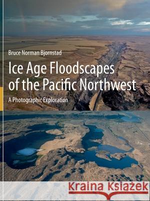
Ice Age Floodscapes of the Pacific Northwest: A Photographic Exploration » książka
topmenu
Ice Age Floodscapes of the Pacific Northwest: A Photographic Exploration
ISBN-13: 9783030530457 / Angielski / Miękka / 2022 / 194 str.
Ice Age Floodscapes of the Pacific Northwest: A Photographic Exploration
ISBN-13: 9783030530457 / Angielski / Miękka / 2022 / 194 str.
cena 342,95 zł
(netto: 326,62 VAT: 5%)
Najniższa cena z 30 dni: 327,68 zł
(netto: 326,62 VAT: 5%)
Najniższa cena z 30 dni: 327,68 zł
Termin realizacji zamówienia:
ok. 22 dni roboczych
Bez gwarancji dostawy przed świętami
ok. 22 dni roboczych
Bez gwarancji dostawy przed świętami
Darmowa dostawa!
Kategorie BISAC:
Wydawca:
Springer
Język:
Angielski
ISBN-13:
9783030530457
Rok wydania:
2022
Ilość stron:
194
Waga:
0.45 kg
Wymiary:
27.94 x 20.96 x 1.04
Oprawa:
Miękka
Wolumenów:
01
Dodatkowe informacje:
Wydanie ilustrowane


