Geospatial Analysis of Rural Motor Vehicle Traffic Fatalities » książka
Geospatial Analysis of Rural Motor Vehicle Traffic Fatalities
ISBN-13: 9781492775720 / Angielski / Miękka / 2013 / 52 str.
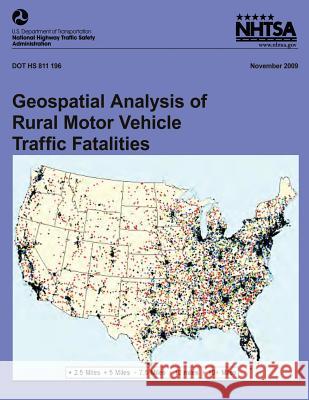
In recent years, on average about 44 percent of traffic fatalities occurred in urban areas. NHTSA's Fatality Analysis Reporting System (FARS) codes the functional classification of land use by a binary indicator, i.e., if the location is a rural or urban area, as defined by the United States Census Bureau. However, this information is not enough to determine the spatial spread of the fatalities in the rural areas, i.e., are the fatalities occurring in suburban, exurban, or the outlying rural areas. The focus of this report is to determine the extent of fatalities that occur in rural areas that are close to urban areas.
Zawartość książki może nie spełniać oczekiwań – reklamacje nie obejmują treści, która mogła nie być redakcyjnie ani merytorycznie opracowana.


