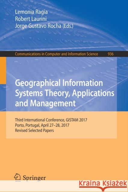
Geographical Information Systems Theory, Applications and Management: Third International Conference, Gistam 2017, Porto, Portugal, April 27-28, 2017, » książka
topmenu
Geographical Information Systems Theory, Applications and Management: Third International Conference, Gistam 2017, Porto, Portugal, April 27-28, 2017,
ISBN-13: 9783030060091 / Angielski / Miękka / 2018 / 199 str.
Geographical Information Systems Theory, Applications and Management: Third International Conference, Gistam 2017, Porto, Portugal, April 27-28, 2017,
ISBN-13: 9783030060091 / Angielski / Miękka / 2018 / 199 str.
cena 201,72
(netto: 192,11 VAT: 5%)
Najniższa cena z 30 dni: 192,74
(netto: 192,11 VAT: 5%)
Najniższa cena z 30 dni: 192,74
Termin realizacji zamówienia:
ok. 16-18 dni roboczych.
ok. 16-18 dni roboczych.
Darmowa dostawa!
Kategorie:
Kategorie BISAC:
Wydawca:
Springer
Seria wydawnicza:
Język:
Angielski
ISBN-13:
9783030060091
Rok wydania:
2018
Wydanie:
2019
Ilość stron:
199
Waga:
0.30 kg
Wymiary:
23.39 x 15.6 x 1.14
Oprawa:
Miękka
Wolumenów:
01
Dodatkowe informacje:
Wydanie ilustrowane


