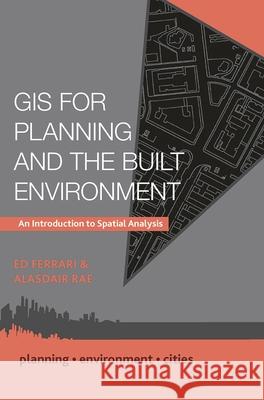
GIS for Planning and the Built Environment: An Introduction to Spatial Analysis » książka
topmenu
GIS for Planning and the Built Environment: An Introduction to Spatial Analysis
ISBN-13: 9781137307149 / Angielski / Miękka / 2019 / 175 str.
Kategorie:
Kategorie BISAC:
Wydawca:
Red Globe Press
Seria wydawnicza:
Język:
Angielski
ISBN-13:
9781137307149
Rok wydania:
2019
Wydanie:
2019
Numer serii:
000206756
Ilość stron:
175
Waga:
0.27 kg
Wymiary:
23.11 x 16.51 x 1.02
Oprawa:
Miękka
Wolumenów:
01
Dodatkowe informacje:
Glosariusz/słownik


