Fish Community Monitoring at Hot Springs National Park 2009 Report » książka
Fish Community Monitoring at Hot Springs National Park 2009 Report
ISBN-13: 9781492376033 / Angielski / Miękka / 2013 / 26 str.
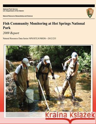
Hot Springs National Park (HOSP), located in the Ouachita Mountains Ecoregion of Arkansas, was established to preserve the geothermal springs and conserve this water resource for public use. The park is 22.5 km2 and, in addition to the hot springs, contains portions of three streams: Gulpha Creek (3.1 km), Bull Bayou (1.9 km), and Whittington Creek (2.3 km). Land use adjacent to the park is primarily urban, with the park surrounding the north end of the city of Hot Springs, Arkansas. Urbanization can have a negative impact on the quality of surface water and adversely affect fish populations through habitat loss and fragmentation, sedimentation, and nonpoint source water pollution. In June 2009, the Heartland Inventory and Monitoring Network (HTLN) of the National Park Service (NPS) began monitoring water quality and fish communities in Gulpha Creek and Bull Bayou to assess the integrity of these surface water resources. Whittington Creek, an intermittent stream, was not monitored.
Zawartość książki może nie spełniać oczekiwań – reklamacje nie obejmują treści, która mogła nie być redakcyjnie ani merytorycznie opracowana.


