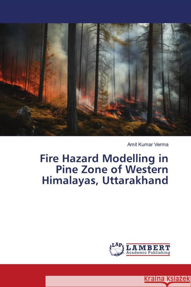
Fire Hazard Modelling in Pine Zone of Western Himalayas, Uttarakhand » książka
Fire Hazard Modelling in Pine Zone of Western Himalayas, Uttarakhand
ISBN-13: 9786206178415 / Angielski / Miękka / 156 str.
In this book we have provided information on how to identify influencive biophysical parameters responsible for forest fire hazard and develop fire hazard model using GIS and statistical package. The result shows that Pine forests at lower elevation and near to settlement are badly impacted by fire. Variables such as precipitation of driest month, precipitation of warmest quarter, mean temperature of driest quarter, distance from forest guard chowki, forest canopy density, distance from settlement and elevation are significantly influencing forest fire regime in pine zone of Uttarakhand. The present methodology provides substantial improvement over frequency analysis method as used by earlier workers for developing fire hazard models in pine zone. Such types of models if recalibrated using future data can lead to higher degree of accuracy of fire prediction. GIS based modelling is helpful in identifying, mapping, quantification of biophysical parameters at spatio-temporal scale and also for the future predictions of forest fire. Geospatial modelling can potentially enhance forest fire management by providing spatially mapped fire hotspots.


