Family Maps of Hennepin County, Minnesota » książka


Family Maps of Hennepin County, Minnesota
ISBN-13: 9781420312324 / Angielski / Miękka / 2010 / 268 str.
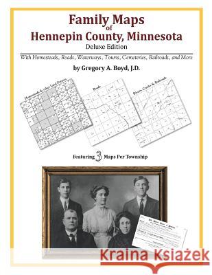
258 pages with 83 total maps Locating original landowners in maps has never been an easy task-until now. This volume in the Family Maps series contains newly created maps of original landowners (patent maps) in what is now Hennepin County, Minnesota, gleaned from the indexes of the U.S. Bureau of Land Management. But it offers much more than that. For each township in the county, there are two additional maps accompanying the patent map: a road map and a map showing waterways, railroads, and both modern and many historical city-centers and cemeteries. Included are indexes to help you locate what you are looking for, whether you know a person's name, a last name, a place-name, or a cemetery. The combination of maps and indexes are designed to aid researchers of American history or genealogy to explore frontier neighborhoods, examine family migrations, locate hard-to-find cemeteries and towns, as well as locate land based on legal descriptions found in old documents or deeds. The patent-maps are essentially plat maps but instead of depicting owners for a particular year, these maps show original landowners, no matter when the transfer from the federal government was completed. Dates of patents typically begin near the time of statehood and run into the early 1900s. What's Mapped in this book (that you'll not likely find elsewhere) . . . 2838 Parcels of Land (with original landowner names and patent-dates labeled in the relevant map) 50 Cemeteries plus . . . Roads, and existing Rivers, Creeks, Streams, Railroads, and Small-towns (including some historical), etc. What YEARS are these maps for? Here are the counts for parcels of land mapped, by the decade in which the corresponding land patents were issued: DecadeParcel-count 1840s45 1850s2372 1860s275 1870s96 1880s26 1890s13 1900s2 1910s7 1920s1 What Cities and Towns are in Hennepin County, Minnesota (and in this book)? Armstrong, Atwood, Berning Mill, Bloomington, Bloomington Ferry, Brooklyn Center, Brooklyn Park, Burschville, Calhoun Beach, Champlin, Corcoran, Crescent Beach, Crystal, Crystal Bay, Dayton, Deephaven, Ditter, Dupont, Eden Prairie, Edina, Eureka (subdivision), Excelsior, Fletcher, Glen Lake, Glenwood Junction, Golden Valley, Greenfield, Greenwood, Groveland, Hamel, Hopkins, Independence, Island Park, Lake Sarah, Leighton, Long Lake, Loretto, Lyndale, Maple Grove, Maple Plain, Medicine Lake, Medina, Minneapolis, Minnetonka, Minnetonka Beach, Minnetonka Mills, Minnetrista, Mission Farms, Mound, New Hope, Oak Knoll, Oak Terrace, Orono, Osseo, Oxboro, Plymouth, Richfield, Robbinsdale, Rockford, Rogers, Rowland, Saga Hill, Saint Anthony, Saint Bonifacius, Saint Louis Park, Shorewood, Spring Park, Stubbs Bay (subdivision), Tonka Bay, Wayzata, West Coon Rapids, Woodland


Czytaj nas na:
KrainaKsiazek.PL - Księgarnia Internetowa


