Family Maps of DuPage County, Illinois » książka


Family Maps of DuPage County, Illinois
ISBN-13: 9781420312966 / Angielski / Miękka / 2010 / 180 str.
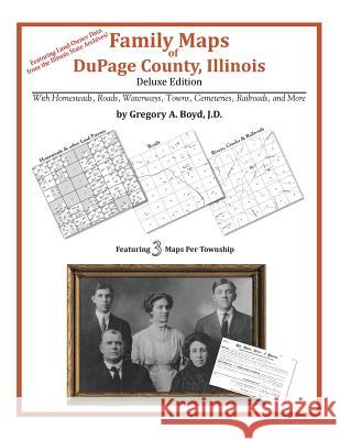
170 pages with 35 total maps Locating original landowners in maps has never been an easy task-until now. This volume in the Family Maps series contains newly created maps of original landowners (patent maps) in what is now DuPage County, Illinois, gleaned from the indexes of the Illinois State Archives. But it offers much more than that. For each township in the county, there are two additional maps accompanying the patent map: a road map and a map showing waterways, railroads, and both modern and many historical city-centers and cemeteries. Included are indexes to help you locate what you are looking for, whether you know a person's name, a last name, a place-name, or a cemetery. The combination of maps and indexes are designed to aid researchers of American history or genealogy to explore frontier neighborhoods, examine family migrations, locate hard-to-find cemeteries and towns, as well as locate land based on legal descriptions found in old documents or deeds. The patent-maps are essentially plat maps but instead of depicting owners for a particular year, these maps show original landowners, no matter when the transfer from the federal government was completed. Dates of patents typically begin near the time of statehood and run into the early 1900s. What's Mapped in this book (that you'll not likely find elsewhere) . . . 2563 Parcels of Land (with original landowner names and patent-dates labeled in the relevant map) 61 Cemeteries plus . . . Roads, and existing Rivers, Creeks, Streams, Railroads, and Small-towns (including some historical), etc. What YEARS are these maps for? Here are the counts for parcels of land mapped, by the decade in which the patent applications were made: DecadeParcel-count 1800s1 1820s1 1830s199 1840s2579 1850s107 1860s19 What Cities and Towns are in DuPage County, Illinois (and in this book)? Addison, Arboretum Estates (subdivision), Batavia Junction, Belmont, Bensenville, Bloomingdale, Burr Ridge, Carol Stream, Churchville, Clarendon Hills, Cloverdale, Darien, Darien, Downers Grove, Elmhurst, Eola, Flowerfield, Foxcroft, Frontenac, Fullersburg, Geneva Road, Glen Ellyn, Glen Oak, Glendale Heights, Gretna, Highland Hills, Hinsdale, Ingalton, Itasca, Jewell Road, Keeneyville, Lace, Lakewood, Lisle, Lombard, Mammoth Springs, Medinah, Munger, Naperville, North Glen Ellyn, Oak Brook, Oakbrook Terrace, Ontarioville, Palisades, Prince Crossing, Roselle, Saddlewood (subdivision), Schick, Shorewood (subdivision), South Addison, South Elmhurst, Swift, Utopia, Valley View, Villa Park, Warrenhurst, Warrenville, Wayne, Wayne Center, West Chicago, Westmont, Wheaton, Willowbrook, Winfield, Wood Dale, Woodridge, York Center, Yorkfield


Czytaj nas na:
KrainaKsiazek.PL - Księgarnia Internetowa


