Family Maps of De Soto Parish, Louisiana » książka


Family Maps of De Soto Parish, Louisiana
ISBN-13: 9781420312607 / Angielski / Miękka / 2010 / 348 str.
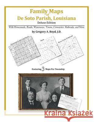
338 pages with 105 total maps Locating original landowners in maps has never been an easy task-until now. This volume in the Family Maps series contains newly created maps of original landowners (patent maps) in what is now De Soto Parish, Louisiana, gleaned from the indexes of the U.S. Bureau of Land Management. But it offers much more than that. For each township in the county, there are two additional maps accompanying the patent map: a road map and a map showing waterways, railroads, and both modern and many historical city-centers and cemeteries. Included are indexes to help you locate what you are looking for, whether you know a person's name, a last name, a place-name, or a cemetery. The combination of maps and indexes are designed to aid researchers of American history or genealogy to explore frontier neighborhoods, examine family migrations, locate hard-to-find cemeteries and towns, as well as locate land based on legal descriptions found in old documents or deeds. The patent-maps are essentially plat maps but instead of depicting owners for a particular year, these maps show original landowners, no matter when the transfer from the federal government was completed. Dates of patents typically begin near the time of statehood and run into the early 1900s. What's Mapped in this book (that you'll not likely find elsewhere) . . . 3996 Parcels of Land (with original landowner names and patent-dates labeled in the relevant map) 40 Cemeteries plus . . . Roads, and existing Rivers, Creeks, Streams, Railroads, and Small-towns (including some historical), etc. What YEARS are these maps for? Here are the counts for parcels of land mapped, by the decade in which the corresponding land patents were issued: DecadeParcel-count 1830s2 1840s1277 1850s656 1860s1210 1870s170 1880s157 1890s319 1900s111 1910s76 1920s18 What Cities and Towns are in De Soto Parish, Louisiana (and in this book)? Bayou Pierre, Belle Bower, Benson, Butler (historical), Carmel, Catuna, Coker, Cook (historical), De Soto (historical), De Soto Heights (subdivision), Dolette (historical), Dona (historical), Elmwood (historical), Eudora (historical), Evelyn, Fortson (historical), Frierson, Funston, Gloster, Goss, Grand Cane, Grove Hill, Halcyon (historical), Hickory Hills Estates, Highland Park (subdivision), Holly, Hunter, Keatchie, Kickapoo, Kingston, Kolter, Lenoir (historical), Logansport, Longstreet, Lula, Mansfield, Meadow Park, Mineral (historical), Naborton, New Rockdale, Oak Hill, Old Pleasant Hill, Oxford, Paragon (historical), Pelican, Porter Place, Rambin, Slone, Smyrna, South Mansfield, Spider (historical), Stanley, Stonewall, Teel (historical), Trenton, Wallace, Wemple, Whitley (historical), Wildwood, Willow Glen, Wood Springs


Czytaj nas na:
KrainaKsiazek.PL - Księgarnia Internetowa


