Creative Ways to apply Historical GIS » książka
Creative Ways to apply Historical GIS
ISBN-13: 9783031217333 / Angielski / Miękka / 2024
Creative Ways to apply Historical GIS
ISBN-13: 9783031217333 / Angielski / Miękka / 2024
(netto: 514,04 VAT: 5%)
Najniższa cena z 30 dni: 535,99 zł
ok. 20 dni roboczych.
Darmowa dostawa!
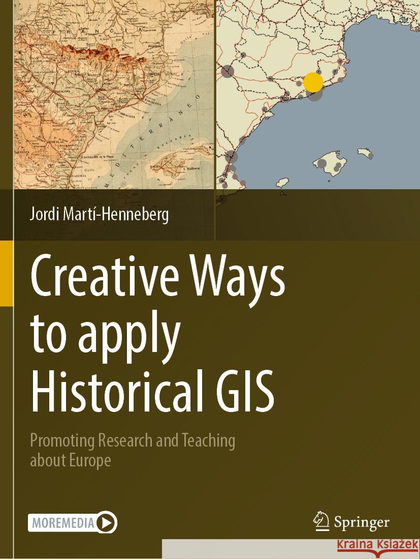
This volume promotes the use of Historical GIS (H-GIS) for both education and research. It consists of a coherent set of chapters that allow readers to study the spatial histories of cities, infrastructure, landscapes, and more across Europe. Each chapter is accompanied by Electronic Supplementary Material (ESM) including GIS data, guides and complementary material in .pdf format, and more. To date, there are no similar materials available in this field compiled in a single book. Interdisciplinarity in spatial research is a main theme of this volume, and the text and tools provided here allow readers to combine inputs relating to the study of earth sciences, population, urban growth and transportation, focusing on changes over both space and time. Each chapter provides data in GIS format and also a user's guide to enable readers to deeply engage with the contents themselves. Guidelines are provided to help locate new data about other areas of the world, which users will be able to develop independently. The book is divided into three parts, each presenting different scales of study and analysis at the local, regional and national levels. Part One deals with general subjects analyzed across large areas, mainly within Europe. Part Two provides more specific subjects and data. Part Three covers sources and teaching with H-GIS. The book will be of interest to researchers, academics, teachers and students from secondary schools up to university level. Each subject and tutorial is aimed at a multi-level audience.


