Computing in Geographic Information Systems » książka
topmenu
Computing in Geographic Information Systems
ISBN-13: 9780367378561 / Angielski / Miękka / 2019 / 303 str.
Computing in Geographic Information Systems
ISBN-13: 9780367378561 / Angielski / Miękka / 2019 / 303 str.
cena 323,20
(netto: 307,81 VAT: 5%)
Najniższa cena z 30 dni: 302,19
(netto: 307,81 VAT: 5%)
Najniższa cena z 30 dni: 302,19
Termin realizacji zamówienia:
ok. 16-18 dni roboczych.
ok. 16-18 dni roboczych.
Darmowa dostawa!
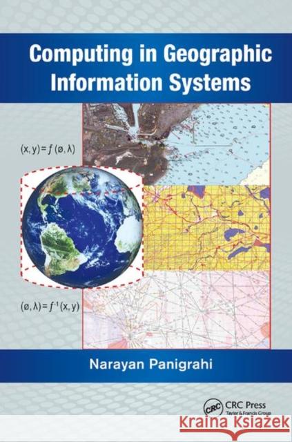
This book explores key concepts in GIS such as geodesy; the coordinate or referencing system for referring objects on Earth’s surface. It explains how the spatial data and 3D surface of Earth are projected on to a flat surface to make a map through different map projection methods. It examines how three different types of geometry help in the analysis of spatial data. It also discusses the mathematical formulations of how to compute physical parameters of geometric and spatial quantities using different spatial data.


