Analysis of Change in Marsh Types of Coastal Louisiana, 1978?2001 » książka
topmenu


Analysis of Change in Marsh Types of Coastal Louisiana, 1978?2001
ISBN-13: 9781495934575 / Angielski / Miękka / 2014 / 62 str.
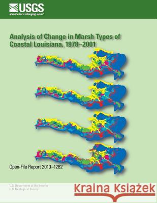
Scientists and geographers have provided multiple datasets and maps to document temporal changes in vegetation types and land-water relationships in coastal Louisiana. Although these maps provide useful historical information, technological limitations prevented these and other mapping efforts from providing sufficiently detailed calculations of areal changes and shifts in habitat coverage. The current analysis of habitat change draws upon these past mapping efforts but is based on an advanced, geographic information system dataset that was created by using Landsat 5 Thematic Mapper imagery and digital orthophoto quarter quadrangles.


Czytaj nas na:
Zobacz: Księgarnia Czeska | Wydawnictwo Książkowe Klimaty | Mapa strony | Lista autorów
KrainaKsiazek.PL - Księgarnia Internetowa

KrainaKsiazek.PL - Księgarnia Internetowa

